Estimated Value: $210,555 - $227,000
3
Beds
2
Baths
1,630
Sq Ft
$135/Sq Ft
Est. Value
About This Home
This home is located at 438 Colonial Trace Dr Unit 2F, Longs, SC 29568 and is currently estimated at $220,639, approximately $135 per square foot. 438 Colonial Trace Dr Unit 2F is a home located in Horry County with nearby schools including Riverside Elementary School, North Myrtle Beach Middle School, and North Myrtle Beach High School.
Ownership History
Date
Name
Owned For
Owner Type
Purchase Details
Closed on
Feb 24, 2021
Sold by
Landrum Clyde L
Bought by
Cadieux Paul M
Current Estimated Value
Home Financials for this Owner
Home Financials are based on the most recent Mortgage that was taken out on this home.
Original Mortgage
$118,750
Outstanding Balance
$106,451
Interest Rate
2.7%
Mortgage Type
New Conventional
Estimated Equity
$114,188
Purchase Details
Closed on
Feb 5, 2004
Sold by
North Pointe Land Co Inc
Bought by
Landrum Clyde L and Landrum Nancy L
Create a Home Valuation Report for This Property
The Home Valuation Report is an in-depth analysis detailing your home's value as well as a comparison with similar homes in the area
Home Values in the Area
Average Home Value in this Area
Purchase History
| Date | Buyer | Sale Price | Title Company |
|---|---|---|---|
| Cadieux Paul M | $125,000 | -- | |
| Landrum Clyde L | $101,000 | -- |
Source: Public Records
Mortgage History
| Date | Status | Borrower | Loan Amount |
|---|---|---|---|
| Open | Cadieux Paul M | $118,750 |
Source: Public Records
Tax History Compared to Growth
Tax History
| Year | Tax Paid | Tax Assessment Tax Assessment Total Assessment is a certain percentage of the fair market value that is determined by local assessors to be the total taxable value of land and additions on the property. | Land | Improvement |
|---|---|---|---|---|
| 2024 | $2,614 | $14,460 | $0 | $14,460 |
| 2023 | $2,614 | $14,070 | $0 | $14,070 |
| 2021 | $2,412 | $14,070 | $0 | $14,070 |
| 2020 | $337 | $14,070 | $0 | $14,070 |
| 2019 | $337 | $14,070 | $0 | $14,070 |
| 2018 | $288 | $12,390 | $0 | $12,390 |
| 2017 | -- | $12,390 | $0 | $12,390 |
| 2016 | -- | $12,390 | $0 | $12,390 |
| 2015 | $273 | $4,720 | $0 | $4,720 |
| 2014 | $254 | $4,720 | $0 | $4,720 |
Source: Public Records
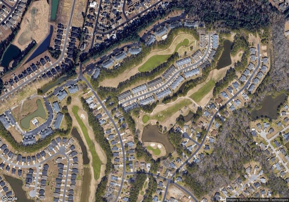
Map
Nearby Homes
- 850 Fairway Dr Unit 1003EE
- 511 Colonial Trace Dr Unit 7-C
- 732 Sun Colony Blvd
- 770 Charter Dr Unit C4
- 657 Lantern Ct
- 750 Charter Dr Unit E-7
- 750 Charter Dr Unit E2
- 625 Charter Dr
- 509 Shellbank Dr Unit B
- 730 Charter Dr Unit F11
- 669 Sun Colony Blvd
- 271 Sienna Dr
- 131 Goodale Dr
- 2425 Bittar Spar Rd
- 1426 Chanson Ct
- 2216 Seaford Dr
- 317 Opal Ave
- 1274 Camlet Ln
- 305 Opal Ave
- 2248 Seaford Dr
- 436 Colonial Trace Dr Unit 2D
- 444 Colonial Trace Dr Unit 14F
- 438 Colonial Trace Dr Unit 14C
- 436 Colonial Trace Dr Unit 14B
- 436 Colonial Trace Dr
- 434 Colonial Trace Dr Unit 14-A Colonial
- 434 Colonial Trace Dr Unit 2B
- 442 Colonial Trace Dr Unit 14E
- 440 Colonial Trace Dr Unit 14D
- 434 Colonial Trace Dr Unit 14A
- 428 Colonial Trace Dr Unit 15E
- 435 Colonial Trace Dr Unit 435
- 433 Colonial Trace Dr Unit 2-A COLONIAL TRACE
- 435 Colonial Trace Dr Unit 2b
- 439 Colonial Trace Dr Unit 119
- 433 Colonial Trace Dr Unit 2A
- 435 Colonial Trace Dr Unit 2C
- 426 Colonial Trace Dr Unit 15D
- 437 Colonial Trace Dr Unit 2-C COLONIAL TRACE
- 437 Colonial Trace Dr Unit 2E