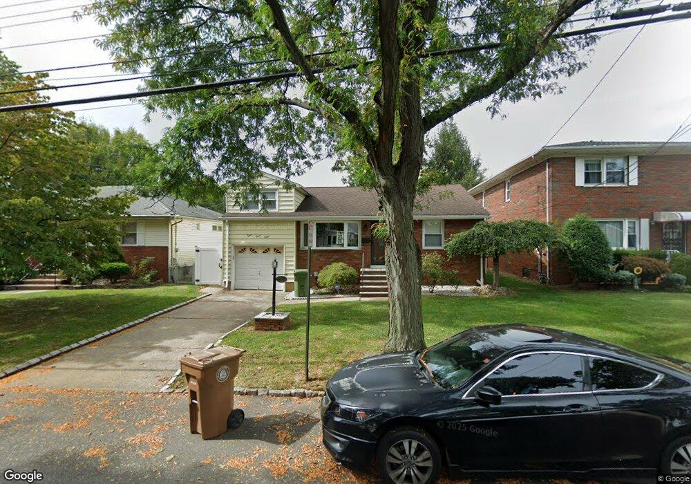
438 Livingston Rd Linden, NJ 07036
Estimated Value: $476,000 - $656,000
--
Bed
--
Bath
1,160
Sq Ft
$496/Sq Ft
Est. Value
About This Home
This home is located at 438 Livingston Rd, Linden, NJ 07036 and is currently estimated at $575,513, approximately $496 per square foot. 438 Livingston Rd is a home located in Union County with nearby schools including Number 10, Myles J. McManus Middle School, and Linden High School.
Ownership History
Date
Name
Owned For
Owner Type
Purchase Details
Closed on
May 30, 2008
Sold by
Borrero Dorothy
Bought by
Espasa Xavier
Current Estimated Value
Home Financials for this Owner
Home Financials are based on the most recent Mortgage that was taken out on this home.
Original Mortgage
$280,000
Outstanding Balance
$180,408
Interest Rate
6.13%
Mortgage Type
Purchase Money Mortgage
Estimated Equity
$395,105
Purchase Details
Closed on
Dec 15, 2000
Sold by
Weiss James L
Bought by
Borrero Dorothy
Create a Home Valuation Report for This Property
The Home Valuation Report is an in-depth analysis detailing your home's value as well as a comparison with similar homes in the area
Home Values in the Area
Average Home Value in this Area
Purchase History
| Date | Buyer | Sale Price | Title Company |
|---|---|---|---|
| Espasa Xavier | $350,000 | Multiple | |
| Borrero Dorothy | $180,000 | -- |
Source: Public Records
Mortgage History
| Date | Status | Borrower | Loan Amount |
|---|---|---|---|
| Open | Espasa Xavier | $280,000 |
Source: Public Records
Tax History Compared to Growth
Tax History
| Year | Tax Paid | Tax Assessment Tax Assessment Total Assessment is a certain percentage of the fair market value that is determined by local assessors to be the total taxable value of land and additions on the property. | Land | Improvement |
|---|---|---|---|---|
| 2025 | $11,624 | $165,300 | $63,000 | $102,300 |
| 2024 | $11,369 | $165,300 | $63,000 | $102,300 |
| 2023 | $11,369 | $165,300 | $63,000 | $102,300 |
| 2022 | $11,429 | $165,300 | $63,000 | $102,300 |
| 2021 | $11,487 | $165,300 | $63,000 | $102,300 |
| 2020 | $11,426 | $165,300 | $63,000 | $102,300 |
| 2019 | $11,388 | $165,300 | $63,000 | $102,300 |
| 2018 | $11,384 | $165,300 | $63,000 | $102,300 |
| 2017 | $11,138 | $165,300 | $63,000 | $102,300 |
| 2016 | $10,787 | $165,300 | $63,000 | $102,300 |
| 2015 | $10,376 | $165,300 | $63,000 | $102,300 |
| 2014 | $10,174 | $165,300 | $63,000 | $102,300 |
Source: Public Records
Map
Nearby Homes
- 601 Birchwood Rd
- 617 Livingston Rd
- 429 Elmwood Terrace
- 630 Fernwood Terrace
- 409 Raritan Rd Unit 427
- 426 Inwood Rd
- 718 Midvale Place
- 2316 Old Grove Rd
- 614 Inwood Rd
- 426 Edgewood Rd
- 783 Riverbend Dr
- 357 Edgewood Rd
- 113 Raritan Rd
- 123 Robbinwood Terrace
- 74 Raritan Rd
- 112 Melrose Terrace
- 63 Elmwood Terrace
- 1611 Dewitt Terrace
- 1717 Crescent Pkwy
- 1718 Summit Terrace
- 434 Livingston Rd
- 430 Livingston Rd
- 439 Morristown Rd
- 445 Morristown Rd
- 433 Morristown Rd
- 427 Morristown Rd
- 435 Livingston Rd
- 2516 Verona Ave
- 500 Livingston Rd
- 431 Livingston Rd
- 501 Morristown Rd
- 427 Livingston Rd
- 420 Livingston Rd
- 419 Morristown Rd
- 505 Morristown Rd
- 2704 Verona Ave
- 510 Livingston Rd
- 421 Livingston Rd
- 2515 Verona Ave
- 410 Livingston Rd