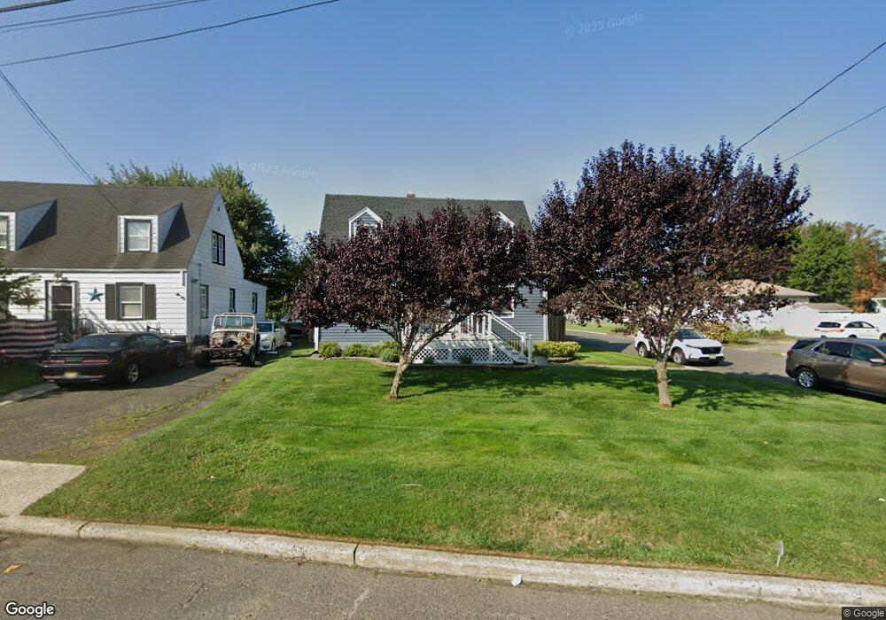
438 Long Branch Ave Long Branch, NJ 07740
Estimated Value: $540,000 - $635,000
3
Beds
2
Baths
1,228
Sq Ft
$477/Sq Ft
Est. Value
About This Home
This home is located at 438 Long Branch Ave, Long Branch, NJ 07740 and is currently estimated at $585,598, approximately $476 per square foot. 438 Long Branch Ave is a home located in Monmouth County with nearby schools including Long Branch High School and Holy Trinity School.
Ownership History
Date
Name
Owned For
Owner Type
Purchase Details
Closed on
Jan 6, 1994
Sold by
Tirado Nelson
Bought by
Denaro John
Current Estimated Value
Home Financials for this Owner
Home Financials are based on the most recent Mortgage that was taken out on this home.
Original Mortgage
$95,000
Interest Rate
7.23%
Mortgage Type
Commercial
Create a Home Valuation Report for This Property
The Home Valuation Report is an in-depth analysis detailing your home's value as well as a comparison with similar homes in the area
Home Values in the Area
Average Home Value in this Area
Purchase History
| Date | Buyer | Sale Price | Title Company |
|---|---|---|---|
| Denaro John | $105,000 | -- |
Source: Public Records
Mortgage History
| Date | Status | Borrower | Loan Amount |
|---|---|---|---|
| Closed | Denaro John | $95,000 |
Source: Public Records
Tax History Compared to Growth
Tax History
| Year | Tax Paid | Tax Assessment Tax Assessment Total Assessment is a certain percentage of the fair market value that is determined by local assessors to be the total taxable value of land and additions on the property. | Land | Improvement |
|---|---|---|---|---|
| 2025 | $7,361 | $572,400 | $286,000 | $286,400 |
| 2024 | $6,866 | $478,900 | $218,000 | $260,900 |
| 2023 | $6,866 | $442,100 | $193,000 | $249,100 |
| 2022 | $6,967 | $404,100 | $165,000 | $239,100 |
| 2021 | $6,967 | $369,100 | $135,000 | $234,100 |
| 2020 | $7,562 | $361,800 | $129,000 | $232,800 |
| 2019 | $7,166 | $340,900 | $119,000 | $221,900 |
| 2018 | $6,951 | $328,800 | $115,000 | $213,800 |
| 2017 | $6,548 | $317,700 | $108,000 | $209,700 |
| 2016 | $6,453 | $319,300 | $115,000 | $204,300 |
| 2015 | $5,492 | $246,600 | $93,000 | $153,600 |
| 2014 | $5,225 | $247,300 | $111,000 | $136,300 |
Source: Public Records
Map
Nearby Homes
- 381 Long Branch Ave
- 154 Atlantic Ave
- 164 Airsdale Ave
- 9 Manahassett Park Dr
- 323 Florence Ave
- 172 Chelton Ave
- 392 Florence Ave
- 165 Kingsley St
- 188 Chelton Ave
- 16 Shore Dr
- 138 Rosewood Ave
- 432 Ocean Blvd N Unit 506
- 432 Ocean Blvd N Unit 315
- 50 Valentine St Unit 27A
- 50 Valentine St Unit 22A
- 50 Valentine St Unit 12B
- 28 Patten Ln
- 231 Long Branch Ave
- 422 Ocean Blvd N Unit 5H
- 43 Valentine St
- 434 Long Branch Ave
- 91 E Hillsdale Ave
- 133 Atlantic Ave
- 89 E Hillsdale Ave
- 102 E Hillsdale Ave
- 135 Atlantic Ave
- 137 Atlantic Ave
- 503 Long Branch Ave
- 97 E Hillsdale Ave
- 446 Long Branch Ave
- 121 Atlantic Ave
- 139 Atlantic Ave
- 132 Airsdale Ave
- 505 Long Branch Ave
- 136 Airsdale Ave
- 507 Long Branch Ave
- 141 Atlantic Ave
- 106 E Hillsdale Ave Unit 108
- 450 Long Branch Ave
- 431 Narragansett Ave