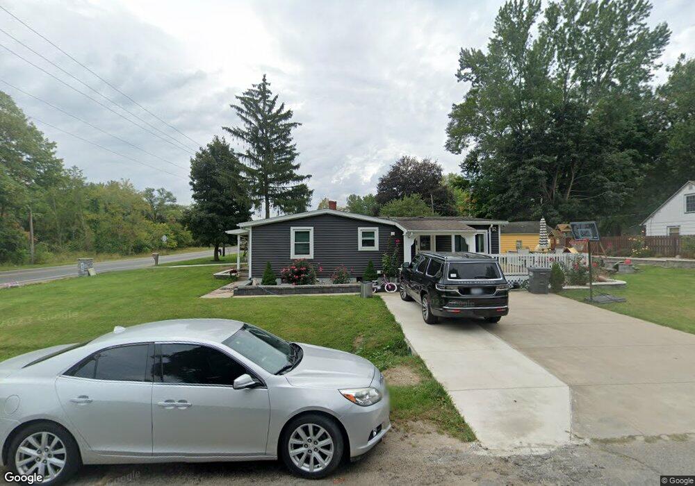
438 N Euclid Ave Benton Harbor, MI 49022
Benton Heights NeighborhoodEstimated Value: $94,590 - $148,000
--
Bed
--
Bath
1,235
Sq Ft
$97/Sq Ft
Est. Value
About This Home
This home is located at 438 N Euclid Ave, Benton Harbor, MI 49022 and is currently estimated at $119,648, approximately $96 per square foot. 438 N Euclid Ave is a home located in Berrien County with nearby schools including Fair Plain Middle School, Benton Harbor High School, and Mildred C. Wells Preparatory Academy.
Ownership History
Date
Name
Owned For
Owner Type
Purchase Details
Closed on
Oct 14, 2014
Sold by
Ahmad Khalil
Bought by
Perez Laura
Current Estimated Value
Purchase Details
Closed on
Aug 19, 2011
Sold by
Witkowski Bret
Bought by
Ahmad Khalil
Purchase Details
Closed on
Oct 30, 2007
Sold by
Doolen Mary and Doolen Arthur
Bought by
Alexander Shawntel and Walters Shawntel
Home Financials for this Owner
Home Financials are based on the most recent Mortgage that was taken out on this home.
Original Mortgage
$47,566
Interest Rate
6.47%
Mortgage Type
Purchase Money Mortgage
Purchase Details
Closed on
Oct 5, 2001
Purchase Details
Closed on
Oct 2, 1997
Create a Home Valuation Report for This Property
The Home Valuation Report is an in-depth analysis detailing your home's value as well as a comparison with similar homes in the area
Home Values in the Area
Average Home Value in this Area
Purchase History
| Date | Buyer | Sale Price | Title Company |
|---|---|---|---|
| Perez Laura | $3,500 | None Available | |
| Ahmad Khalil | $5,217 | None Available | |
| Alexander Shawntel | $32,000 | None Available | |
| -- | $32,000 | -- | |
| -- | $13,000 | -- |
Source: Public Records
Mortgage History
| Date | Status | Borrower | Loan Amount |
|---|---|---|---|
| Previous Owner | Alexander Shawntel | $47,566 |
Source: Public Records
Tax History Compared to Growth
Tax History
| Year | Tax Paid | Tax Assessment Tax Assessment Total Assessment is a certain percentage of the fair market value that is determined by local assessors to be the total taxable value of land and additions on the property. | Land | Improvement |
|---|---|---|---|---|
| 2025 | $1,265 | $35,300 | $0 | $0 |
| 2024 | $380 | $29,900 | $0 | $0 |
| 2023 | $361 | $28,200 | $0 | $0 |
| 2022 | $344 | $26,800 | $0 | $0 |
| 2021 | $637 | $25,700 | $1,500 | $24,200 |
| 2020 | $967 | $25,300 | $0 | $0 |
| 2019 | $618 | $19,100 | $900 | $18,200 |
| 2018 | $598 | $19,100 | $0 | $0 |
| 2017 | $592 | $17,700 | $0 | $0 |
| 2016 | $579 | $17,400 | $0 | $0 |
| 2015 | $582 | $17,500 | $0 | $0 |
| 2014 | $610 | $17,300 | $0 | $0 |
Source: Public Records
Map
Nearby Homes
- 425 N Euclid Ave
- 2202 Berg Ave
- 000 N Euclid Ave
- 00 N Euclid Ave
- 0 N Euclid Ave Unit 24029856
- 0 Vl Clinton Rd
- 2416 Highland Ave
- 140 N Crystal Ave
- 948 Baldanza Ave
- 855 Milo St
- 149 Bridgman Ave
- VL Clinton Rd
- 185 Felton St
- 2039 Taube Ave
- 1993 Taube Ave
- 2062 Hatch Ave
- 1081 Villa Ct
- 1187 Villa Ct
- 2277 Laurel Dr
- 2431 E Britain Ave
- 426 N Euclid Ave
- 2080 Peterson Dr
- 464 N Euclid Ave
- 414 N Euclid Ave
- 2072 Peterson Dr
- 2077 Peterson Dr
- 402 N Euclid Ave
- 476 N Euclid Ave
- 2069 Peterson Dr
- 2064 Peterson Dr
- 2081 Orchard Dr
- 2073 Orchard Dr
- 2057 Peterson Dr
- 2065 Orchard Dr
- 2065 Orchard Dr
- 2052 Peterson Dr
- 2082 Orchard Dr
- 388 N Euclid Ave
- 2076 Territorial Rd
- 2049 Peterson Dr