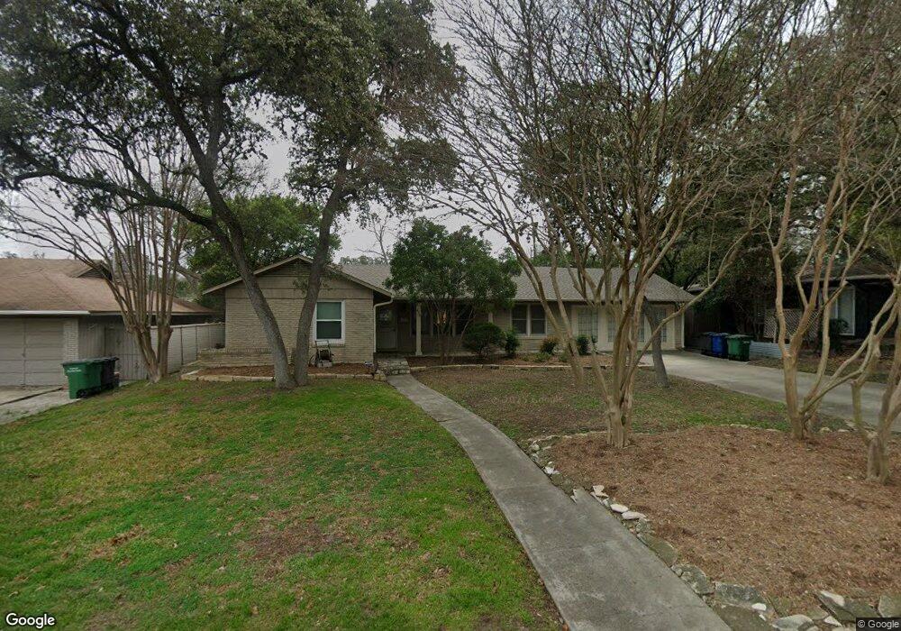
438 Oakleaf Dr San Antonio, TX 78209
Oak Park-Northwood NeighborhoodEstimated Value: $419,602 - $518,000
3
Beds
2
Baths
1,901
Sq Ft
$250/Sq Ft
Est. Value
About This Home
This home is located at 438 Oakleaf Dr, San Antonio, TX 78209 and is currently estimated at $475,151, approximately $249 per square foot. 438 Oakleaf Dr is a home located in Bexar County with nearby schools including Northwood Elementary School, Garner Middle School, and MacArthur High School.
Ownership History
Date
Name
Owned For
Owner Type
Purchase Details
Closed on
Apr 30, 2010
Sold by
Sutherland Brandi and Sutherland William
Bought by
Persellin Mark
Current Estimated Value
Home Financials for this Owner
Home Financials are based on the most recent Mortgage that was taken out on this home.
Original Mortgage
$188,000
Outstanding Balance
$125,266
Interest Rate
4.93%
Mortgage Type
New Conventional
Estimated Equity
$349,885
Purchase Details
Closed on
Sep 12, 2005
Sold by
Rochelle Jeanine C
Bought by
Sutherland Brandi
Home Financials for this Owner
Home Financials are based on the most recent Mortgage that was taken out on this home.
Original Mortgage
$197,360
Interest Rate
5.78%
Mortgage Type
Fannie Mae Freddie Mac
Create a Home Valuation Report for This Property
The Home Valuation Report is an in-depth analysis detailing your home's value as well as a comparison with similar homes in the area
Home Values in the Area
Average Home Value in this Area
Purchase History
| Date | Buyer | Sale Price | Title Company |
|---|---|---|---|
| Persellin Mark | -- | Alamo Title Company | |
| Sutherland Brandi | -- | Presidio Title |
Source: Public Records
Mortgage History
| Date | Status | Borrower | Loan Amount |
|---|---|---|---|
| Open | Persellin Mark | $188,000 | |
| Previous Owner | Sutherland Brandi | $197,360 |
Source: Public Records
Tax History Compared to Growth
Tax History
| Year | Tax Paid | Tax Assessment Tax Assessment Total Assessment is a certain percentage of the fair market value that is determined by local assessors to be the total taxable value of land and additions on the property. | Land | Improvement |
|---|---|---|---|---|
| 2025 | $4,980 | $405,620 | $160,800 | $244,820 |
| 2024 | $4,980 | $399,300 | $160,800 | $244,820 |
| 2023 | $4,980 | $363,000 | $160,800 | $236,380 |
| 2022 | $8,143 | $330,000 | $139,890 | $190,110 |
| 2021 | $8,171 | $319,830 | $121,650 | $198,180 |
| 2020 | $7,650 | $295,000 | $107,860 | $187,140 |
| 2019 | $7,724 | $290,000 | $107,860 | $182,140 |
| 2018 | $8,085 | $302,820 | $86,290 | $216,530 |
| 2017 | $7,879 | $292,381 | $86,290 | $208,000 |
| 2016 | $7,163 | $265,801 | $52,430 | $213,570 |
| 2015 | $5,853 | $241,637 | $52,430 | $212,310 |
| 2014 | $5,853 | $219,670 | $0 | $0 |
Source: Public Records
Map
Nearby Homes
- 510 Woodcrest Dr
- 419 Woodcrest Dr
- 510 Burnside Dr
- 351 Northridge Dr
- 530 Burnside Dr
- 2603 Brookhurst Dr
- 318 Northridge Dr
- 315 Tophill Rd
- 623 E Nottingham Dr
- 215 Oakleaf Dr
- 631 Robinhood Place
- 205 Larkwood Dr
- 134 Rockhill Dr
- 215 Tophill Rd
- 446 Forrest Hill Dr
- 127 Larkwood Dr
- 2611 Eisenhauer Rd Unit 1502
- 2611 Eisenhauer Rd Unit 504
- 2611 Eisenhauer Rd Unit 1103
- 2611 Eisenhauer Rd Unit 706
- 434 Oakleaf Dr
- 442 Oakleaf Dr
- 439 Woodcrest Dr
- 430 Oakleaf Dr
- 435 Woodcrest Dr
- 439 Oakleaf Dr
- 443 Oakleaf Dr
- 435 Oakleaf Dr
- 431 Woodcrest Dr
- 503 Woodcrest Dr
- 426 Oakleaf Dr
- 502 Oakleaf Dr
- 447 Oakleaf Dr
- 431 Oakleaf Dr
- 427 Woodcrest Dr
- 507 Woodcrest Dr
- 427 Oakleaf Dr
- 422 Oakleaf Dr
- 438 Burnside Dr
- 442 Burnside Dr