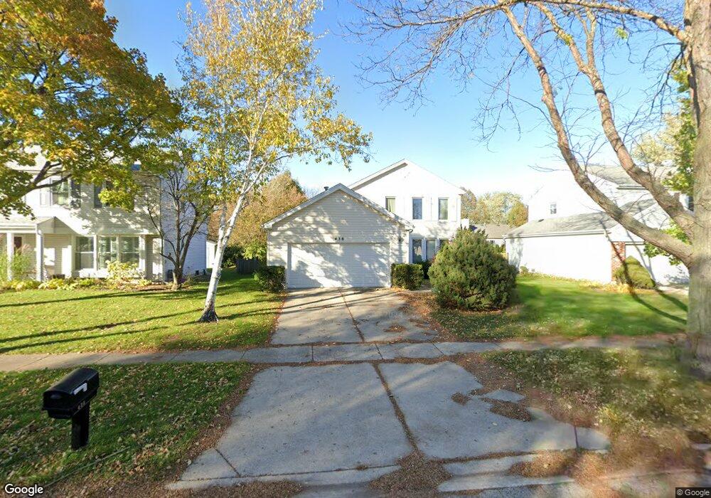
438 Ronnie Dr Buffalo Grove, IL 60089
Estimated Value: $541,000 - $568,000
--
Bed
3
Baths
2,048
Sq Ft
$271/Sq Ft
Est. Value
About This Home
This home is located at 438 Ronnie Dr, Buffalo Grove, IL 60089 and is currently estimated at $555,783, approximately $271 per square foot. 438 Ronnie Dr is a home located in Lake County with nearby schools including Prairie Elementary School, Twin Groves Middle School, and Adlai E Stevenson High School.
Ownership History
Date
Name
Owned For
Owner Type
Purchase Details
Closed on
May 19, 2000
Sold by
Kotwani Girdhari K and Kotwani Padma G
Bought by
Ignatovych Georgiy and Gerol Marina
Current Estimated Value
Home Financials for this Owner
Home Financials are based on the most recent Mortgage that was taken out on this home.
Original Mortgage
$209,950
Outstanding Balance
$74,724
Interest Rate
8.56%
Estimated Equity
$481,059
Purchase Details
Closed on
May 24, 1996
Sold by
Claver Mitchell L and Claver Jean E
Bought by
Kotwani Girdhari K and Kotwani Padma G
Create a Home Valuation Report for This Property
The Home Valuation Report is an in-depth analysis detailing your home's value as well as a comparison with similar homes in the area
Home Values in the Area
Average Home Value in this Area
Purchase History
| Date | Buyer | Sale Price | Title Company |
|---|---|---|---|
| Ignatovych Georgiy | $247,000 | -- | |
| Kotwani Girdhari K | $215,000 | 1St American Title |
Source: Public Records
Mortgage History
| Date | Status | Borrower | Loan Amount |
|---|---|---|---|
| Open | Ignatovych Georgiy | $209,950 |
Source: Public Records
Tax History Compared to Growth
Tax History
| Year | Tax Paid | Tax Assessment Tax Assessment Total Assessment is a certain percentage of the fair market value that is determined by local assessors to be the total taxable value of land and additions on the property. | Land | Improvement |
|---|---|---|---|---|
| 2024 | $14,555 | $166,798 | $36,974 | $129,824 |
| 2023 | $13,401 | $149,893 | $33,227 | $116,666 |
| 2022 | $13,401 | $134,514 | $29,818 | $104,696 |
| 2021 | $12,893 | $133,063 | $29,496 | $103,567 |
| 2020 | $12,589 | $133,517 | $29,597 | $103,920 |
| 2019 | $12,416 | $133,025 | $29,488 | $103,537 |
| 2018 | $11,801 | $130,582 | $29,142 | $101,440 |
| 2017 | $11,577 | $127,534 | $28,462 | $99,072 |
| 2016 | $11,275 | $122,124 | $27,255 | $94,869 |
| 2015 | $10,976 | $114,210 | $25,489 | $88,721 |
| 2014 | $10,252 | $105,617 | $27,374 | $78,243 |
| 2012 | $9,934 | $105,829 | $27,429 | $78,400 |
Source: Public Records
Map
Nearby Homes
- 538 Lasalle Ct
- 1118 Larraway Dr
- 327 Lasalle Ln
- 1113 Lockwood Dr
- 1265 Devonshire Rd
- 1272 Sandhurst Dr
- 15 Thompson Ct
- 938 Hidden Lake Dr
- 1141 Devonshire Rd
- 896 Chaucer Way Unit 2
- 1901 Brandywyn Ln
- 1903 Sheridan Rd
- 931 Shady Grove Ln
- 1012 Hobson Dr
- 268 Hoffmann Dr
- 1265 Ranchview Ct
- 361 Hoffmann Dr
- 148 White Branch Ct
- 711 Woodhollow Ln
- 333 Didier Ct