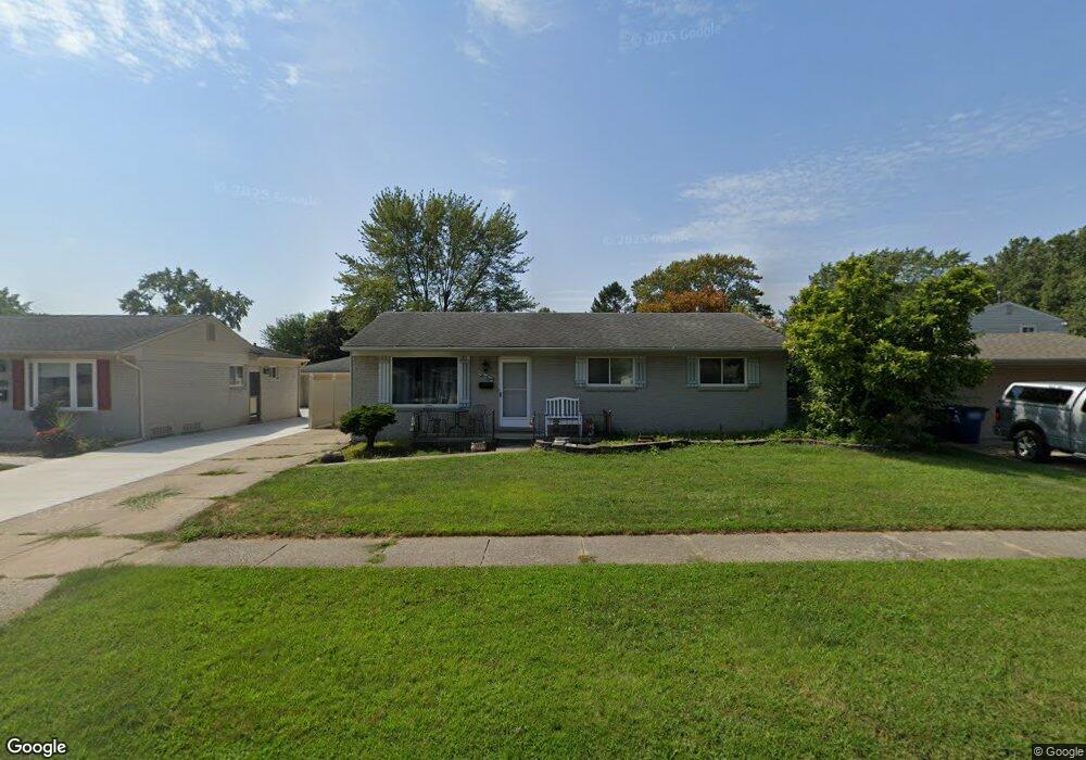
438 S Sybald St Westland, MI 48186
Estimated Value: $245,000 - $281,000
--
Bed
1
Bath
1,354
Sq Ft
$195/Sq Ft
Est. Value
About This Home
This home is located at 438 S Sybald St, Westland, MI 48186 and is currently estimated at $264,667, approximately $195 per square foot. 438 S Sybald St is a home located in Wayne County with nearby schools including P.D. Graham Elementary School, Marshall Upper Elementary School, and Adlai Stevenson Middle School.
Ownership History
Date
Name
Owned For
Owner Type
Purchase Details
Closed on
Jun 22, 2017
Sold by
Amella Cablldo Hector and Amella Cablldo
Bought by
Cabido Ryan R
Current Estimated Value
Home Financials for this Owner
Home Financials are based on the most recent Mortgage that was taken out on this home.
Original Mortgage
$55,962
Outstanding Balance
$47,449
Interest Rate
4.75%
Mortgage Type
FHA
Estimated Equity
$217,218
Create a Home Valuation Report for This Property
The Home Valuation Report is an in-depth analysis detailing your home's value as well as a comparison with similar homes in the area
Home Values in the Area
Average Home Value in this Area
Purchase History
| Date | Buyer | Sale Price | Title Company |
|---|---|---|---|
| Cabido Ryan R | $687,560 | Mortgage Center Title Llc |
Source: Public Records
Mortgage History
| Date | Status | Borrower | Loan Amount |
|---|---|---|---|
| Open | Cabido Ryan R | $55,962 |
Source: Public Records
Tax History Compared to Growth
Tax History
| Year | Tax Paid | Tax Assessment Tax Assessment Total Assessment is a certain percentage of the fair market value that is determined by local assessors to be the total taxable value of land and additions on the property. | Land | Improvement |
|---|---|---|---|---|
| 2025 | $2,344 | $119,900 | $0 | $0 |
| 2024 | $2,344 | $111,500 | $0 | $0 |
| 2023 | $2,238 | $100,900 | $0 | $0 |
| 2022 | $2,647 | $89,300 | $0 | $0 |
| 2021 | $2,581 | $85,700 | $0 | $0 |
| 2020 | $2,552 | $80,700 | $0 | $0 |
| 2019 | $2,459 | $79,200 | $0 | $0 |
| 2018 | $1,841 | $67,300 | $0 | $0 |
| 2017 | $944 | $64,800 | $0 | $0 |
| 2016 | $3,218 | $63,600 | $0 | $0 |
| 2015 | $4,557 | $53,360 | $0 | $0 |
| 2013 | $4,415 | $46,140 | $0 | $0 |
| 2012 | $3,093 | $47,270 | $0 | $0 |
Source: Public Records
Map
Nearby Homes
- 38386 Maes St
- 585 S John Hix St
- 00000 Avondale St
- 172 N Bryar St
- 336 Marigold Cir Unit 45
- 127 S John Hix St
- 39214 Dillingham St
- 39250 Northampton St
- 151 Dawson Ct
- 157 Carson Dr Unit 175
- 39615 Kirkland Dr
- 571 Summerfield Dr Unit 196
- 39194 Brookfield Dr Unit 182
- 39400 Cherry Hill Rd
- 285 Brookfield Dr Unit 25
- 673 Ethan Dr
- 714 Autumn Ridge Dr Unit 64
- 1786 Daisy Ln
- 39605 Dorchester Cir
- 977 N Newburgh Rd
- 450 S Sybald St
- 38431 Loruss Ave
- 38445 Loruss Ave
- 464 S Sybald St
- 439 S Bryar St
- 451 S Bryar St
- 38459 Loruss Ave
- 463 S Bryar St
- 431 S Sybald St
- 476 S Sybald St
- 419 S Sybald St
- 443 S Sybald St
- 407 S Sybald St
- 475 S Bryar St
- 457 S Sybald St
- 38475 Loruss Ave
- 488 S Sybald St
- 0 S Bryar St
- 469 S Sybald St
- 397 S Sybald St