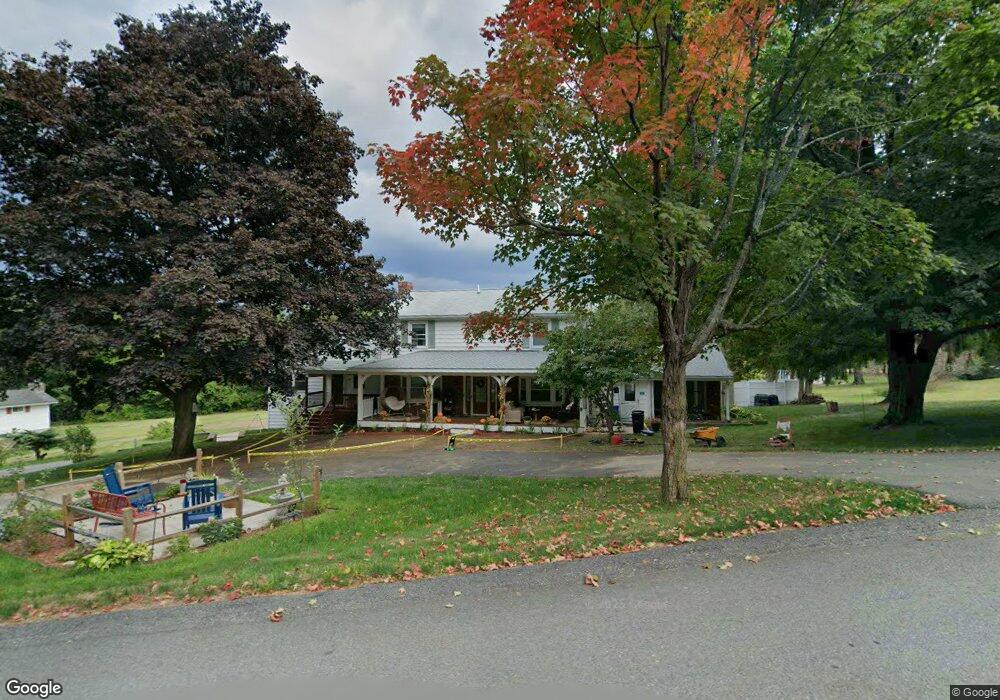
438 Sunnyhill Rd Unit 1 Lunenburg, MA 01462
Estimated Value: $712,000 - $924,000
4
Beds
2
Baths
2,200
Sq Ft
$357/Sq Ft
Est. Value
About This Home
This home is located at 438 Sunnyhill Rd Unit 1, Lunenburg, MA 01462 and is currently estimated at $786,073, approximately $357 per square foot. 438 Sunnyhill Rd Unit 1 is a home located in Worcester County with nearby schools including Lunenburg Primary School, Lunenburg High School, and St Bernards Elementary School.
Ownership History
Date
Name
Owned For
Owner Type
Purchase Details
Closed on
Jan 9, 2002
Sold by
Fredo Robert F and Fredo Martha L
Bought by
Champagne Joseph A and Champagne Heidi Edes
Current Estimated Value
Home Financials for this Owner
Home Financials are based on the most recent Mortgage that was taken out on this home.
Original Mortgage
$196,000
Interest Rate
7.04%
Mortgage Type
Purchase Money Mortgage
Create a Home Valuation Report for This Property
The Home Valuation Report is an in-depth analysis detailing your home's value as well as a comparison with similar homes in the area
Home Values in the Area
Average Home Value in this Area
Purchase History
| Date | Buyer | Sale Price | Title Company |
|---|---|---|---|
| Champagne Joseph A | $290,000 | -- |
Source: Public Records
Mortgage History
| Date | Status | Borrower | Loan Amount |
|---|---|---|---|
| Open | Champagne Joseph A | $216,000 | |
| Closed | Champagne Joseph A | $196,000 | |
| Previous Owner | Champagne Joseph A | $150,000 |
Source: Public Records
Tax History Compared to Growth
Tax History
| Year | Tax Paid | Tax Assessment Tax Assessment Total Assessment is a certain percentage of the fair market value that is determined by local assessors to be the total taxable value of land and additions on the property. | Land | Improvement |
|---|---|---|---|---|
| 2025 | $9,852 | $686,100 | $149,600 | $536,500 |
| 2024 | $9,636 | $683,400 | $141,200 | $542,200 |
| 2023 | $8,810 | $602,600 | $128,300 | $474,300 |
| 2022 | $8,255 | $480,200 | $107,000 | $373,200 |
| 2020 | $8,323 | $459,300 | $106,900 | $352,400 |
| 2019 | $7,537 | $403,500 | $100,700 | $302,800 |
| 2018 | $7,433 | $377,300 | $100,700 | $276,600 |
| 2017 | $7,279 | $364,300 | $95,200 | $269,100 |
| 2016 | $7,018 | $357,900 | $90,600 | $267,300 |
| 2015 | $5,436 | $296,700 | $85,900 | $210,800 |
Source: Public Records
Map
Nearby Homes
- 200-365 Hollis Rd
- 9 Fairview Rd
- 29 West St
- 452 Hollis Rd
- 31 School St
- 35 Leominster Rd
- 6 Riley Rd Unit 6
- 1479 Main St
- 3 Chase Ave
- 830 Massachusetts Ave
- 70 Kilburn St
- 44 Hamlin St
- 4 Lincoln St
- 711 Massachusetts Ave Unit 2
- 77 Electric Ave
- 313 Lincoln St
- 828 Lancaster Ave
- 319 Highland St
- 305 Pleasant St
- 63 Holman St
- 438 Sunnyhill Rd
- Lot 5B Sunnyhill Rd
- Lot 5A Sunnyhill Rd
- Lot 4A Sunny Hill Rd
- 424 Sunnyhill Rd
- 448 Sunnyhill Rd
- 419 Sunnyhill Rd Lot 5
- 419 Sunnyhill Rd
- 409 Sunnyhill Rd
- 426 Sunnyhill Rd
- 348 Leominster Rd
- 334 Leominster Rd
- 2 Elm St
- 389 Sunnyhill Rd
- 3 Elm St
- 420 Sunny Hill Rd
- 4 Elm St
- 420 Sunnyhill Rd
- 449 Sunnyhill Rd
- 449 Sunny Hill Rd