438 Tralee Ct Statham, GA 30666
Estimated Value: $1,007,000 - $1,176,000
3
Beds
3
Baths
4,331
Sq Ft
$247/Sq Ft
Est. Value
About This Home
This home is located at 438 Tralee Ct, Statham, GA 30666 and is currently estimated at $1,067,655, approximately $246 per square foot. 438 Tralee Ct is a home located in Barrow County with nearby schools including Bethlehem Elementary School, Haymon-Morris Middle School, and Apalachee High School.
Ownership History
Date
Name
Owned For
Owner Type
Purchase Details
Closed on
May 30, 2008
Sold by
Gary & Olsson Props Llc
Bought by
Blount Phillip and Blount Gyale
Current Estimated Value
Home Financials for this Owner
Home Financials are based on the most recent Mortgage that was taken out on this home.
Original Mortgage
$417,000
Outstanding Balance
$264,976
Interest Rate
5.86%
Mortgage Type
New Conventional
Estimated Equity
$802,679
Purchase Details
Closed on
Jul 6, 2005
Sold by
Barber Creek Land Company Llp
Bought by
Gary & Olsson Properties Llc
Purchase Details
Closed on
Feb 12, 1999
Bought by
Barber Creek Land Company Llp
Create a Home Valuation Report for This Property
The Home Valuation Report is an in-depth analysis detailing your home's value as well as a comparison with similar homes in the area
Home Values in the Area
Average Home Value in this Area
Purchase History
| Date | Buyer | Sale Price | Title Company |
|---|---|---|---|
| Blount Phillip | $540,600 | -- | |
| Gary & Olsson Properties Llc | $1,420,000 | -- | |
| Barber Creek Land Company Llp | -- | -- |
Source: Public Records
Mortgage History
| Date | Status | Borrower | Loan Amount |
|---|---|---|---|
| Open | Blount Phillip | $417,000 |
Source: Public Records
Tax History Compared to Growth
Tax History
| Year | Tax Paid | Tax Assessment Tax Assessment Total Assessment is a certain percentage of the fair market value that is determined by local assessors to be the total taxable value of land and additions on the property. | Land | Improvement |
|---|---|---|---|---|
| 2024 | $8,543 | $354,134 | $40,000 | $314,134 |
| 2023 | $7,183 | $316,638 | $40,000 | $276,638 |
| 2022 | $7,349 | $264,165 | $40,000 | $224,165 |
| 2021 | $7,800 | $264,165 | $40,000 | $224,165 |
| 2020 | $6,976 | $235,924 | $32,000 | $203,924 |
| 2019 | $6,969 | $231,524 | $27,600 | $203,924 |
| 2018 | $6,443 | $215,852 | $27,600 | $188,252 |
| 2017 | $5,421 | $186,177 | $27,600 | $158,577 |
| 2016 | $5,527 | $187,052 | $27,600 | $159,452 |
| 2015 | $5,300 | $178,654 | $27,600 | $151,054 |
| 2014 | $5,392 | $176,647 | $13,524 | $163,123 |
| 2013 | -- | $158,105 | $11,592 | $146,513 |
Source: Public Records
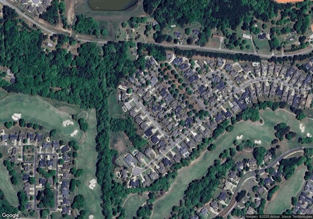
Map
Nearby Homes
- 440 Tralee Ct
- 436 Tralee Ct
- 436 Tralee Ct Unit 806
- 442 Tralee Ct Unit 54
- 442 Tralee Ct
- 434 Tralee Ct
- 308 Horseshoe Bend
- 306 Horseshoe Bend
- 306 Horseshoe Bend Unit 60
- 310 Horseshoe Bend
- 304 Horseshoe Bend
- 304 Horseshoe Bend Unit 59
- 312 Horseshoe Bend
- 435 Tralee Ct
- 444 Tralee Ct
- 432 Tralee Ct
- 439 Tralee Ct
- 437 Tralee Ct
- 441 Tralee Ct
- 302 Horseshoe Bend