4380 High Point Rd Kernersville, NC 27284
Yorktown NeighborhoodEstimated Value: $260,000 - $442,000
4
Beds
4
Baths
3,682
Sq Ft
$104/Sq Ft
Est. Value
About This Home
This home is located at 4380 High Point Rd, Kernersville, NC 27284 and is currently estimated at $381,863, approximately $103 per square foot. 4380 High Point Rd is a home located in Forsyth County with nearby schools including Union Cross Elementary School, Southeast Middle School, and R.B. Glenn High School.
Ownership History
Date
Name
Owned For
Owner Type
Purchase Details
Closed on
Aug 31, 2006
Sold by
Englebert Sandra I
Bought by
Linville James D
Current Estimated Value
Home Financials for this Owner
Home Financials are based on the most recent Mortgage that was taken out on this home.
Original Mortgage
$200,000
Outstanding Balance
$119,881
Interest Rate
6.73%
Mortgage Type
Purchase Money Mortgage
Estimated Equity
$261,982
Create a Home Valuation Report for This Property
The Home Valuation Report is an in-depth analysis detailing your home's value as well as a comparison with similar homes in the area
Home Values in the Area
Average Home Value in this Area
Purchase History
| Date | Buyer | Sale Price | Title Company |
|---|---|---|---|
| Linville James D | $250,000 | None Available |
Source: Public Records
Mortgage History
| Date | Status | Borrower | Loan Amount |
|---|---|---|---|
| Open | Linville James D | $200,000 |
Source: Public Records
Tax History Compared to Growth
Tax History
| Year | Tax Paid | Tax Assessment Tax Assessment Total Assessment is a certain percentage of the fair market value that is determined by local assessors to be the total taxable value of land and additions on the property. | Land | Improvement |
|---|---|---|---|---|
| 2025 | $2,062 | $425,300 | $156,900 | $268,400 |
| 2024 | $2,062 | $252,500 | $124,000 | $128,500 |
| 2023 | $2,062 | $252,500 | $124,000 | $128,500 |
| 2022 | $2,062 | $252,500 | $124,000 | $128,500 |
| 2021 | $2,024 | $252,500 | $124,000 | $128,500 |
| 2020 | $1,988 | $228,300 | $103,700 | $124,600 |
| 2019 | $2,011 | $228,300 | $103,700 | $124,600 |
| 2018 | $1,934 | $228,300 | $103,700 | $124,600 |
| 2016 | $1,990 | $233,759 | $100,227 | $133,532 |
| 2015 | $1,943 | $233,759 | $100,227 | $133,532 |
| 2014 | $1,600 | $233,759 | $100,227 | $133,532 |
Source: Public Records
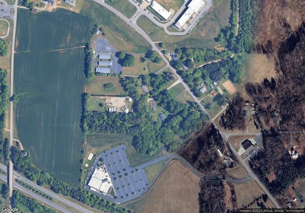
Map
Nearby Homes
- 4514 Woodway Dr
- 7549 Buckhaven Forest Dr
- 7554 Buckhaven Forest Dr
- 7553 Buckhaven Forest Dr
- 7267 Huntgate Dr
- 7567 Buckhaven Forest Dr
- 7167 Watkins Landing Ct
- 6031 Hickory Creek Rd
- 6008 Forest Trails Dr
- 0 Hayes Dr
- 1967 Kippen Dr
- The Columbia Plan at Brunswick Crossing
- The Cameron Plan at Brunswick Crossing
- The Stoddard Plan at Brunswick Crossing
- The Lexington Plan at Brunswick Crossing
- 4697 Deveron Dr
- 1837 Deveron Ct
- 1786 Mallard Dr
- 1788 Mallard Dr
- 1797 Mallard Dr
- 4386 High Point Rd
- 4390 High Point Rd
- 4385 High Point Rd
- 4371 High Point Rd
- 4377 High Point Rd
- 4365 High Point Rd
- 4350 High Point Rd
- 4395 High Point Rd
- 7215 Watkins Ford Rd
- 7221 Watkins Ford Rd
- 4340 High Point Rd
- 4353 High Point Rd
- 1793 Ridgestone Ln
- 4450 High Point Rd
- 1789 Ridgestone Ln
- 3767 Hastings Rd
- 1785 Ridgestone Ln
- 7239 Watkins Ford Rd
- 1784 Ridgestone Ln
- 1781 Ridgestone Ln