Estimated Value: $429,000 - $983,000
3
Beds
1
Bath
2,424
Sq Ft
$296/Sq Ft
Est. Value
About This Home
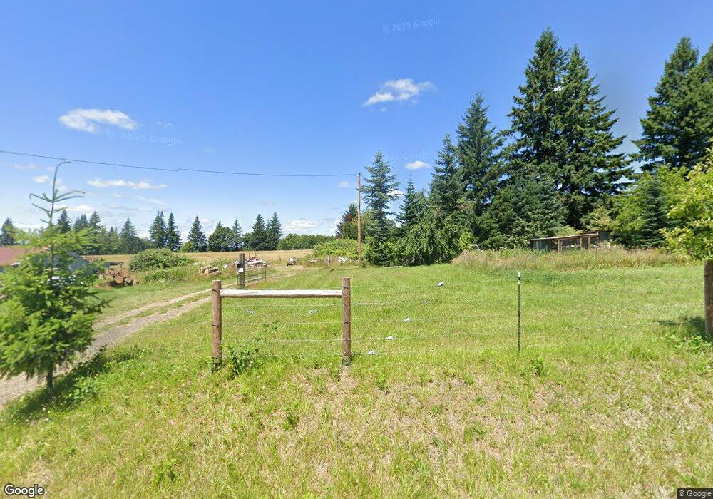
This home is located at 43808 SE Coalman Rd, Sandy, OR 97055 and is currently estimated at $716,693, approximately $295 per square foot. 43808 SE Coalman Rd is a home located in Clackamas County with nearby schools including Firwood Elementary School, Cedar Ridge Middle School, and Sandy High School.
Ownership History
Date
Name
Owned For
Owner Type
Purchase Details
Closed on
Oct 23, 2018
Sold by
Pearson Denise
Bought by
Pearson Lawrence and Pearson Shannon
Current Estimated Value
Purchase Details
Closed on
Jan 21, 2003
Sold by
Pearson Denise Lynn
Bought by
Pearson Denise
Home Financials for this Owner
Home Financials are based on the most recent Mortgage that was taken out on this home.
Original Mortgage
$189,000
Interest Rate
5.97%
Purchase Details
Closed on
Oct 1, 2001
Sold by
Pearson Lawrence R
Bought by
Pearson Denise Lynn
Home Financials for this Owner
Home Financials are based on the most recent Mortgage that was taken out on this home.
Original Mortgage
$150,500
Interest Rate
8.75%
Create a Home Valuation Report for This Property
The Home Valuation Report is an in-depth analysis detailing your home's value as well as a comparison with similar homes in the area
Home Values in the Area
Average Home Value in this Area
Purchase History
| Date | Buyer | Sale Price | Title Company |
|---|---|---|---|
| Pearson Lawrence | $168,618 | None Available | |
| Pearson Denise | -- | Fidelity Natl Title Co Of Or | |
| Pearson Denise Lynn | -- | First American Title Ins Co |
Source: Public Records
Mortgage History
| Date | Status | Borrower | Loan Amount |
|---|---|---|---|
| Previous Owner | Pearson Denise | $189,000 | |
| Previous Owner | Pearson Denise Lynn | $150,500 |
Source: Public Records
Tax History Compared to Growth
Tax History
| Year | Tax Paid | Tax Assessment Tax Assessment Total Assessment is a certain percentage of the fair market value that is determined by local assessors to be the total taxable value of land and additions on the property. | Land | Improvement |
|---|---|---|---|---|
| 2024 | $2,348 | $170,101 | -- | -- |
| 2023 | $2,348 | $165,274 | $0 | $0 |
| 2022 | $2,227 | $160,588 | $0 | $0 |
| 2021 | $2,151 | $156,030 | $0 | $0 |
| 2020 | $2,097 | $151,608 | $0 | $0 |
| 2019 | $2,090 | $147,318 | $0 | $0 |
| 2018 | $2,036 | $143,144 | $0 | $0 |
| 2017 | $1,992 | $139,094 | $0 | $0 |
| 2016 | $1,925 | $135,174 | $0 | $0 |
| 2015 | $1,874 | $131,356 | $0 | $0 |
| 2014 | $1,820 | $126,902 | $0 | $0 |
Source: Public Records
Map
Nearby Homes
- 19151 SE Veneer Ln
- 41890 Deschutes Ave Unit 82A
- 42125 SE Luzon Ln
- 41830 Deschutes Ave Unit 85A
- 41810 Deschutes Ave Unit 86B
- 41900 Deschutes Ave Unit 81A
- 41800 Deschutes Ave Unit 86A
- 19005 Ochoco Ct Unit 65
- 18905 Crooked River St Unit 46
- 19025 Ochoco Ct Unit 67
- 19100 Ochoco Ct Unit Lot 70
- 41820 Deschutes Ave Unit Lot 85B
- The Wildcat Plan at Hoodview Heights
- The Rock Creek Plan at Hoodview Heights
- The Hoodland Plan at Hoodview Heights
- The Cedar Creek Plan at Hoodview Heights
- The Brightwood Plan at Hoodview Heights
- 18855 Crooked River St Unit 41
- 18935 Crooked River St Unit 49
- 41855 Deschutes Ave Unit 60
- 43636 SE Coalman Rd
- 44040 SE Coalman Rd
- 44060 SE Coalman Rd
- 44125 SE Coalman Rd
- 43535 SE Coalman Rd
- 44041 SE Coalman Rd
- 44175 SE Coalman Rd
- 44195 SE Coalman Rd
- 17987 SE 422nd Ave
- 18476 SE 422nd Ave
- 18420 SE 422nd Ave
- 43295 SE Coalman Rd
- 44242 SE Coalman Rd
- 43221 SE Coalman Rd
- 43245 SE Coalman Rd
- 44423 SE Coalman Rd
- 18410 SE 422nd Ave
- 44434 SE Coalman Rd
- 43700 SE Tapp Rd
- 43220 SE Coalman Rd