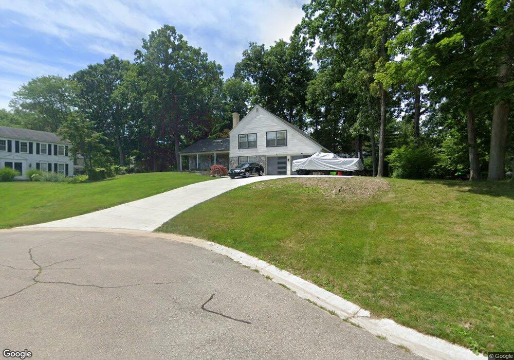
4381 Somerville Dr Unit Bldg-Unit West Bloomfield, MI 48323
Estimated Value: $467,000 - $490,443
4
Beds
3
Baths
2,692
Sq Ft
$177/Sq Ft
Est. Value
About This Home
This home is located at 4381 Somerville Dr Unit Bldg-Unit, West Bloomfield, MI 48323 and is currently estimated at $477,361, approximately $177 per square foot. 4381 Somerville Dr Unit Bldg-Unit is a home located in Oakland County with nearby schools including Sheiko Elementary School, West Bloomfield Middle School, and The Susan And Rabbi Harold Loss Ecc.
Ownership History
Date
Name
Owned For
Owner Type
Purchase Details
Closed on
Mar 21, 2018
Sold by
Levadi Laurette and Benezra Akdima Ruth
Bought by
Elliott Demetrius
Current Estimated Value
Home Financials for this Owner
Home Financials are based on the most recent Mortgage that was taken out on this home.
Original Mortgage
$282,292
Outstanding Balance
$241,844
Interest Rate
4.37%
Mortgage Type
FHA
Estimated Equity
$235,517
Purchase Details
Closed on
Jul 25, 2003
Sold by
Austin James F and Austin Linda
Bought by
Levadi Laurette
Create a Home Valuation Report for This Property
The Home Valuation Report is an in-depth analysis detailing your home's value as well as a comparison with similar homes in the area
Home Values in the Area
Average Home Value in this Area
Purchase History
| Date | Buyer | Sale Price | Title Company |
|---|---|---|---|
| Elliott Demetrius | $287,500 | Title Connect Llc | |
| Levadi Laurette | $326,000 | Capital Title Ins Agency |
Source: Public Records
Mortgage History
| Date | Status | Borrower | Loan Amount |
|---|---|---|---|
| Open | Elliott Demetrius | $282,292 |
Source: Public Records
Tax History Compared to Growth
Tax History
| Year | Tax Paid | Tax Assessment Tax Assessment Total Assessment is a certain percentage of the fair market value that is determined by local assessors to be the total taxable value of land and additions on the property. | Land | Improvement |
|---|---|---|---|---|
| 2024 | $4,111 | $200,980 | $0 | $0 |
| 2022 | $3,805 | $160,130 | $39,600 | $120,530 |
| 2021 | $5,703 | $152,560 | $0 | $0 |
| 2020 | $3,678 | $148,940 | $39,600 | $109,340 |
| 2018 | $4,075 | $131,710 | $30,000 | $101,710 |
| 2015 | -- | $115,360 | $0 | $0 |
| 2014 | -- | $103,990 | $0 | $0 |
| 2011 | -- | $88,400 | $0 | $0 |
Source: Public Records
Map
Nearby Homes
- 4163 Old Dominion Dr
- 4163 Autumn Ridge Dr
- 4841 Leesburg Dr
- 4117 Marlwood Dr
- 4205 Hardwoods Dr
- 3961 Will O Way Ln
- 5353 W Bloomfield Lake Rd
- 5352 W Doherty Dr
- 4825 Mirror Lake Dr
- 5710 Hobnail Cir
- 4343 Foxpointe Dr Unit 39
- 4371 Foxpointe Dr Unit 4
- 4291 Foxpointe Dr
- 4826 Cliffside Dr Unit 18
- 4832 Cliffside Dr Unit 21
- 3930 Harris Ln
- 4800 Faircourt Dr
- 4408 Knightsbridge Ln
- 5130 Lake Bluff Rd
- 3845 Lone Pine Rd Unit 101
- 4381 Somerville Dr
- 4365 Somerville Dr
- 5137 Hardwoods Dr
- 4431 Greenstown Dr
- 5157 Hardwoods Dr
- 4453 Greenstown Dr
- 5221 Hardwoods Dr
- 4349 Somerville Dr
- 5175 Hardwoods Dr
- 5229 Hardwoods Dr
- 4350 Somerville Dr
- 4356 Somerville Dr
- 5237 Hardwoods Dr
- 5136 Hardwoods Dr
- 4432 Greenstown Dr
- 4395 Greenstown Dr
- 4333 Somerville Dr
- 5156 Hardwoods Dr
- 5079 Hardwoods Dr
- 4473 Greenstown Dr