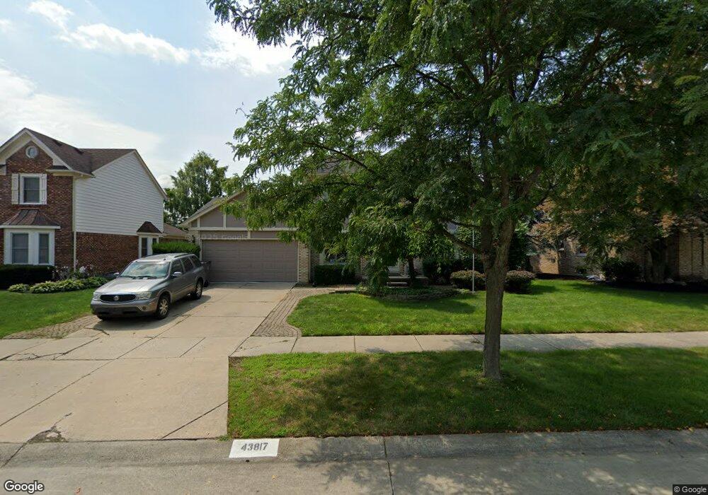
43817 Gunnison Dr Clinton Township, MI 48038
Estimated Value: $401,841 - $430,000
--
Bed
1
Bath
2,236
Sq Ft
$188/Sq Ft
Est. Value
About This Home
This home is located at 43817 Gunnison Dr, Clinton Township, MI 48038 and is currently estimated at $420,460, approximately $188 per square foot. 43817 Gunnison Dr is a home located in Macomb County with nearby schools including Cherokee Elementary School, Wyandot Middle School, and Chippewa Valley High School.
Ownership History
Date
Name
Owned For
Owner Type
Purchase Details
Closed on
Oct 24, 2005
Sold by
Caruso Salvatore J and Caruso Annette F
Bought by
Bastuba Phillip and Bastuba Frances
Current Estimated Value
Home Financials for this Owner
Home Financials are based on the most recent Mortgage that was taken out on this home.
Original Mortgage
$221,000
Outstanding Balance
$132,654
Interest Rate
7.75%
Mortgage Type
Fannie Mae Freddie Mac
Estimated Equity
$287,806
Create a Home Valuation Report for This Property
The Home Valuation Report is an in-depth analysis detailing your home's value as well as a comparison with similar homes in the area
Home Values in the Area
Average Home Value in this Area
Purchase History
| Date | Buyer | Sale Price | Title Company |
|---|---|---|---|
| Bastuba Phillip | $260,000 | Greco |
Source: Public Records
Mortgage History
| Date | Status | Borrower | Loan Amount |
|---|---|---|---|
| Open | Bastuba Phillip | $221,000 |
Source: Public Records
Tax History Compared to Growth
Tax History
| Year | Tax Paid | Tax Assessment Tax Assessment Total Assessment is a certain percentage of the fair market value that is determined by local assessors to be the total taxable value of land and additions on the property. | Land | Improvement |
|---|---|---|---|---|
| 2025 | $5,752 | $178,800 | $0 | $0 |
| 2024 | $3,427 | $168,500 | $0 | $0 |
| 2023 | $3,626 | $148,400 | $0 | $0 |
| 2022 | $5,982 | $131,200 | $0 | $0 |
| 2021 | $6,026 | $124,400 | $0 | $0 |
| 2020 | $3,091 | $123,100 | $0 | $0 |
| 2019 | $5,213 | $119,900 | $0 | $0 |
| 2018 | $4,843 | $112,000 | $0 | $0 |
| 2017 | $4,993 | $107,000 | $26,000 | $81,000 |
| 2016 | $5,326 | $107,000 | $0 | $0 |
| 2015 | -- | $100,600 | $0 | $0 |
| 2014 | -- | $94,700 | $0 | $0 |
| 2011 | -- | $94,700 | $21,100 | $73,600 |
Source: Public Records
Map
Nearby Homes
- 43852 Columbia Dr
- 43673 Welland Dr
- 44192 Rivergate Dr
- 19118 Killeen Dr
- 44340 Thunder Bay Dr
- 43373 Brooks Dr
- 43274 Hillsboro Dr
- 43363 Herring Dr
- 43377 Rivergate Dr
- 43646 Pintail Dr
- 44808 Rivergate Dr
- 44130 Cadburry Dr
- 20194 Calumet Dr
- 20465 Saint Laurence Dr
- 16297 Conifer Ln
- 0 Clinton River Rd Unit 20251013874
- 20561 Longwood Dr Unit 64
- 17901 Pointe Ct Unit 9
- 20387 Villa Grande Cir Unit 19
- 20445 Villa Grande Cir Unit 48
- 43797 Gunnison Dr
- 43837 Gunnison Dr
- 43834 Columbia Dr
- 43777 Gunnison Dr
- 43816 Columbia Dr
- 43798 Columbia Dr
- 43872 Columbia Dr
- 43816 Gunnison Dr
- 43757 Gunnison Dr
- 43836 Gunnison Dr
- 43796 Gunnison Dr
- 43778 Columbia Dr
- 43856 Gunnison Dr
- 43776 Gunnison Dr
- 43910 Columbia Dr
- 43758 Columbia Dr
- 43737 Gunnison Dr
- 43756 Gunnison Dr
- 43843 Columbia Dr
- 43851 Columbia Dr