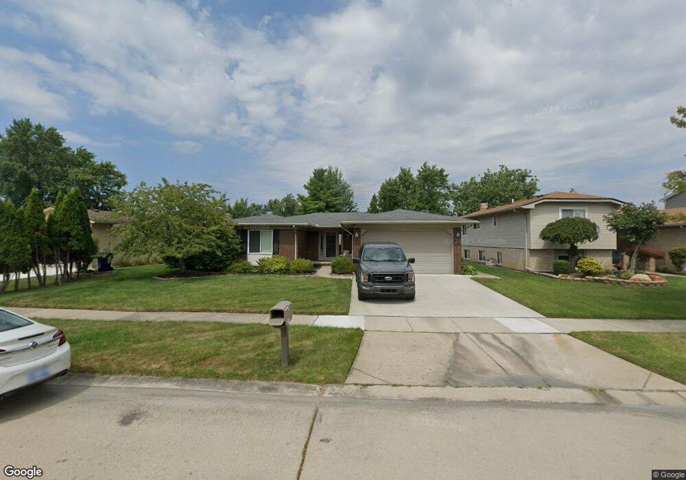
43818 Palisades Dr Unit Bldg-Unit Canton, MI 48187
Estimated Value: $357,000 - $414,000
--
Bed
2
Baths
1,524
Sq Ft
$250/Sq Ft
Est. Value
About This Home
This home is located at 43818 Palisades Dr Unit Bldg-Unit, Canton, MI 48187 and is currently estimated at $381,415, approximately $250 per square foot. 43818 Palisades Dr Unit Bldg-Unit is a home located in Wayne County with nearby schools including Canton High School, Discovery Middle School, and Salem High School.
Ownership History
Date
Name
Owned For
Owner Type
Purchase Details
Closed on
Jun 22, 2018
Sold by
Tinglan Randi J
Bought by
Ure Eric C
Current Estimated Value
Purchase Details
Closed on
Jul 31, 2008
Sold by
Ross Christopher J and Ross Rachel L
Bought by
Tinglan Randi J
Purchase Details
Closed on
Aug 21, 2002
Sold by
Koenig Christ
Bought by
Ross Christopher J
Purchase Details
Closed on
Mar 30, 2001
Sold by
Cadeau Kim
Bought by
Koenig Chris
Create a Home Valuation Report for This Property
The Home Valuation Report is an in-depth analysis detailing your home's value as well as a comparison with similar homes in the area
Home Values in the Area
Average Home Value in this Area
Purchase History
| Date | Buyer | Sale Price | Title Company |
|---|---|---|---|
| Ure Eric C | $246,000 | None Available | |
| Tinglan Randi J | $201,400 | Title Direct Llc | |
| Ross Christopher J | $210,000 | -- | |
| Koenig Chris | $135,000 | -- |
Source: Public Records
Tax History Compared to Growth
Tax History
| Year | Tax Paid | Tax Assessment Tax Assessment Total Assessment is a certain percentage of the fair market value that is determined by local assessors to be the total taxable value of land and additions on the property. | Land | Improvement |
|---|---|---|---|---|
| 2025 | $2,083 | $158,600 | $0 | $0 |
| 2024 | $2,083 | $145,200 | $0 | $0 |
| 2023 | $1,978 | $128,700 | $0 | $0 |
| 2022 | $4,352 | $113,100 | $0 | $0 |
| 2021 | $4,222 | $111,700 | $0 | $0 |
| 2020 | $4,169 | $106,900 | $0 | $0 |
| 2019 | $4,093 | $97,750 | $0 | $0 |
| 2018 | $1,162 | $91,320 | $0 | $0 |
| 2017 | $2,997 | $90,500 | $0 | $0 |
| 2016 | $2,625 | $92,600 | $0 | $0 |
| 2015 | $6,382 | $83,090 | $0 | $0 |
| 2013 | $6,183 | $64,680 | $0 | $0 |
| 2010 | -- | $69,690 | $39,888 | $29,802 |
Source: Public Records
Map
Nearby Homes
- 437 Corinne Blvd
- 44150 Duchess Dr
- 278 Cornell St
- 1322 Saltz Ct
- 603 Concord Dr Unit 67
- 42771 Lilley Pointe Dr Unit 154
- 42789 Lilley Pointe Dr Unit 146
- 44893 Fair Oaks Dr
- 1494 Ranier Blvd
- 227 Edington Cir
- 42697 Redfern St
- 550 Concord Dr Unit 75
- 5887 Northford
- 288 Edington Cir Unit 61
- 42479 Redfern St
- 42481 Lilley Pointe Dr Unit 33
- 45030 Glengarry Rd
- 1822 N Sheldon Rd
- 678 Kings Way
- 43592 Champlain Ct
- 43818 Palisades Dr
- 43806 Palisades Dr
- 43830 Palisades Dr
- 43770 Palisades Dr
- 43848 Palisades Dr
- 43813 Cranford Ave
- 43825 Cranford Ave
- 43801 Cranford Ave
- 408 Brittany Dr
- 43837 Cranford Ave
- 43758 Palisades Dr
- 43775 Cranford Ave
- 407 Nassau Ct
- 43866 Palisades Dr
- 43759 Cranford Ave
- 43855 Cranford Ave
- 264 Brittany Dr
- 409 Brittany Dr
- 43746 Palisades Dr
- 263 Nassau Ct