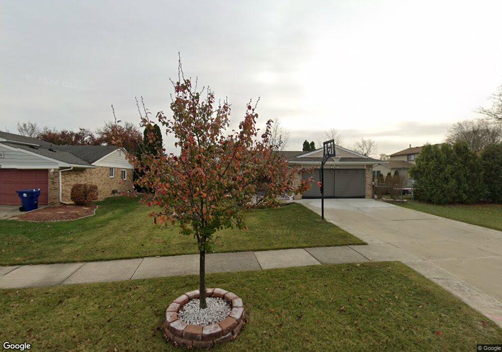
43821 Stuart Dr Canton, MI 48187
Estimated Value: $307,000 - $384,000
3
Beds
3
Baths
1,603
Sq Ft
$217/Sq Ft
Est. Value
About This Home
This home is located at 43821 Stuart Dr, Canton, MI 48187 and is currently estimated at $348,129, approximately $217 per square foot. 43821 Stuart Dr is a home located in Wayne County with nearby schools including Canton High School, Discovery Middle School, and Salem High School.
Ownership History
Date
Name
Owned For
Owner Type
Purchase Details
Closed on
May 10, 2010
Sold by
Hsbc Bank Usa Na
Bought by
Sidhu Palwinder and Kaur Sukhwinder
Current Estimated Value
Purchase Details
Closed on
Dec 10, 2009
Sold by
Swait James D and Swait Shirley A
Bought by
Hsbc Bank Usa Na
Create a Home Valuation Report for This Property
The Home Valuation Report is an in-depth analysis detailing your home's value as well as a comparison with similar homes in the area
Home Values in the Area
Average Home Value in this Area
Purchase History
| Date | Buyer | Sale Price | Title Company |
|---|---|---|---|
| Sidhu Palwinder | $122,000 | None Available | |
| Hsbc Bank Usa Na | $272,040 | None Available |
Source: Public Records
Tax History
| Year | Tax Paid | Tax Assessment Tax Assessment Total Assessment is a certain percentage of the fair market value that is determined by local assessors to be the total taxable value of land and additions on the property. | Land | Improvement |
|---|---|---|---|---|
| 2025 | $1,861 | $163,800 | $0 | $0 |
| 2024 | $1,808 | $155,500 | $0 | $0 |
| 2023 | $1,724 | $142,700 | $0 | $0 |
| 2022 | $3,805 | $132,200 | $0 | $0 |
| 2021 | $3,692 | $128,700 | $0 | $0 |
| 2020 | $3,645 | $121,600 | $0 | $0 |
| 2019 | $3,581 | $114,010 | $0 | $0 |
| 2018 | $1,465 | $107,260 | $0 | $0 |
| 2017 | $3,676 | $101,300 | $0 | $0 |
| 2016 | $3,258 | $100,700 | $0 | $0 |
| 2015 | $8,052 | $93,230 | $0 | $0 |
| 2013 | $7,800 | $79,690 | $0 | $0 |
| 2010 | -- | $80,280 | $35,148 | $45,132 |
Source: Public Records
Map
Nearby Homes
- 58560 Stuart Dr
- 1567 Marlowe St
- 1822 N Sheldon Rd
- 44528 Whitman Ave
- 44447 Savery Dr Unit 126
- 1987 E Franklin Dr Unit 65
- 44497 Savery Dr Unit 103
- 44035 Westminister Way
- 5806 Wedgewood Rd
- 1399 Copeland Cir
- 835 Coldrose Way
- 42739 Lilley Pointe Dr Unit 119
- 44652 Nantucket Dr
- 42751 Lilley Pointe Dr
- 49772 Shoreline Dr
- 45005 Saltz Rd
- 42789 Lilley Pointe Dr Unit 146
- 42195 Fairview Dr
- 42195 Briarcliff Ct
- 42216 Metaline Dr
- 43797 Stuart Dr
- 1950 Oakview Dr
- 1928 Oakview Dr
- 43773 Stuart Dr Unit Bldg-Unit
- 43773 Stuart Dr
- 43776 Laurelwood Dr
- 1906 Oakview Dr
- 1883 Willard Dr
- 1884 Oakview Dr
- 43749 Stuart Dr
- 43822 Stuart Dr
- 1994 Oakview Dr
- 43798 Stuart Dr
- 43752 Laurelwood Dr
- 6046 Braemore Ct
- 6075 Braemore Ct
- 6121 Braemore Ct
- 6121 Braemore Ct
- 1862 Oakview Dr
- 1861 Willard Dr
Your Personal Tour Guide
Ask me questions while you tour the home.