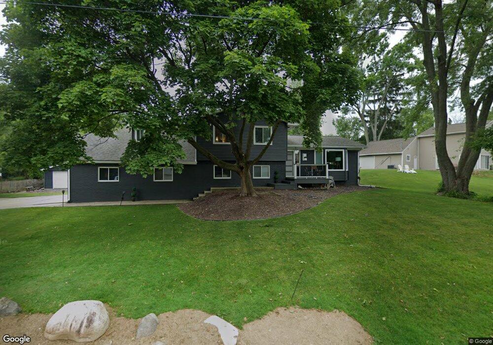
4384 Borland St West Bloomfield, MI 48323
Estimated Value: $381,239 - $719,000
4
Beds
3
Baths
2,004
Sq Ft
$259/Sq Ft
Est. Value
About This Home
This home is located at 4384 Borland St, West Bloomfield, MI 48323 and is currently estimated at $518,310, approximately $258 per square foot. 4384 Borland St is a home located in Oakland County with nearby schools including Walled Lake Central High School, The Susan And Rabbi Harold Loss Ecc, and Brookfield Academy - West Bloomfield.
Ownership History
Date
Name
Owned For
Owner Type
Purchase Details
Closed on
Dec 21, 2011
Sold by
Curry Erin
Bought by
Armstrong Lori Fera and Armstrong Robert Douglas
Current Estimated Value
Purchase Details
Closed on
Dec 22, 2008
Sold by
Loftis Austin and Cox Viviane Lavone
Bought by
Curry Erin
Create a Home Valuation Report for This Property
The Home Valuation Report is an in-depth analysis detailing your home's value as well as a comparison with similar homes in the area
Home Values in the Area
Average Home Value in this Area
Purchase History
| Date | Buyer | Sale Price | Title Company |
|---|---|---|---|
| Armstrong Lori Fera | $210,000 | Devon Title Agency | |
| Curry Erin | $120,510 | E Title Agency Inc |
Source: Public Records
Tax History Compared to Growth
Tax History
| Year | Tax Paid | Tax Assessment Tax Assessment Total Assessment is a certain percentage of the fair market value that is determined by local assessors to be the total taxable value of land and additions on the property. | Land | Improvement |
|---|---|---|---|---|
| 2024 | $2,447 | $172,650 | $0 | $0 |
| 2022 | $2,307 | $161,130 | $48,140 | $112,990 |
| 2021 | $3,795 | $154,670 | $0 | $0 |
| 2020 | $2,280 | $148,280 | $48,140 | $100,140 |
| 2018 | $3,694 | $127,900 | $49,190 | $78,710 |
| 2015 | -- | $114,030 | $0 | $0 |
| 2014 | -- | $106,500 | $0 | $0 |
| 2011 | -- | $92,350 | $0 | $0 |
Source: Public Records
Map
Nearby Homes
- 4442 Borland St
- 4540 Rolling Pine Ct
- 6980 Hambro St
- 4066 Green Lake Rd
- 6675 Langtoft St
- 0000 Langtoft
- 4335 Crestdale Ave
- 6978 Colony Dr
- 4245 Bunker Ave
- 3991 Fieldview Ave
- 3965 Carrick Ave
- 3950 Bradmore Ave
- 6903 Dandison Blvd
- 4212 Greendale Ave
- 7337 Richardson Rd
- 7381 Crestmore St
- 6768 Buckland Ave
- 7359 Woodlore Dr
- 7545/7585 Pontiac Trail
- 7585/7548 Pontiac Trail
- 4410 Borland St
- 4385 Welland Dr
- 4368 Borland St
- 4385 Borland St
- 4395 Welland Dr
- 4425 Borland St
- 4375 Borland St
- 6868 Renshaw St
- 4405 Welland Dr
- 4437 Borland St
- 6858 Renshaw St
- 4372 Welland Dr
- 0000 Colony Dr
- 6890 Renshaw St
- 4362 Welland Dr
- 4459 Bethune Ct
- 4454 Borland St
- 4408 Welland Dr
- 4461 Borland St