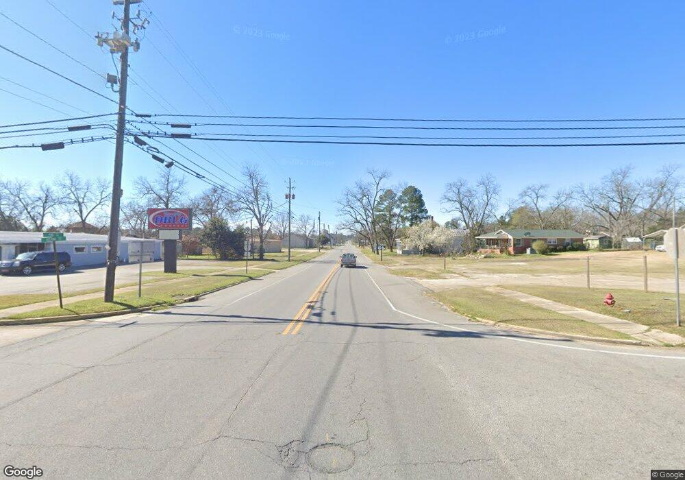
4384 Ga Highway 230 Unadilla, GA 31091
Estimated Value: $249,000 - $470,652
4
Beds
2
Baths
1,592
Sq Ft
$226/Sq Ft
Est. Value
About This Home
This home is located at 4384 Ga Highway 230, Unadilla, GA 31091 and is currently estimated at $359,826, approximately $226 per square foot. 4384 Ga Highway 230 is a home with nearby schools including Dooly County Elementary School, Dooly County Middle School, and Dooly County High School.
Ownership History
Date
Name
Owned For
Owner Type
Purchase Details
Closed on
Sep 8, 1999
Sold by
Arflin Arflin G and Arflin Ary
Bought by
Vanvanvanvanarflin Alan Van
Current Estimated Value
Purchase Details
Closed on
Oct 2, 1997
Sold by
Ransom Alvin
Bought by
Arflin Arflin G and Arflin Ary
Purchase Details
Closed on
Nov 13, 1996
Bought by
Ransom Thelma B Est Etal
Purchase Details
Closed on
Apr 25, 1986
Bought by
Ransom Alvin
Purchase Details
Closed on
Dec 7, 1950
Bought by
Ransom Ransom W and Ransom V
Create a Home Valuation Report for This Property
The Home Valuation Report is an in-depth analysis detailing your home's value as well as a comparison with similar homes in the area
Home Values in the Area
Average Home Value in this Area
Purchase History
| Date | Buyer | Sale Price | Title Company |
|---|---|---|---|
| Vanvanvanvanarflin Alan Van | -- | -- | |
| Arflin Arflin G | -- | -- | |
| Arflin Mary Sue Etal | -- | -- | |
| Ransom Thelma B Est Etal | -- | -- | |
| Ransom Alvin | -- | -- | |
| Ransom Ransom W | $35,000 | -- |
Source: Public Records
Tax History Compared to Growth
Tax History
| Year | Tax Paid | Tax Assessment Tax Assessment Total Assessment is a certain percentage of the fair market value that is determined by local assessors to be the total taxable value of land and additions on the property. | Land | Improvement |
|---|---|---|---|---|
| 2024 | $2,499 | $122,296 | $69,480 | $52,816 |
| 2023 | $2,592 | $108,164 | $50,400 | $57,764 |
| 2022 | $2,142 | $93,284 | $48,080 | $45,204 |
| 2021 | $1,793 | $71,032 | $36,960 | $34,072 |
| 2020 | $2,529 | $71,432 | $36,960 | $34,472 |
| 2019 | $1,742 | $71,432 | $36,960 | $34,472 |
| 2018 | $1,679 | $71,432 | $36,960 | $34,472 |
| 2017 | $2,461 | $71,432 | $36,960 | $34,472 |
| 2016 | $1,647 | $71,432 | $36,960 | $34,472 |
| 2015 | $1,508 | $67,772 | $36,960 | $30,812 |
| 2014 | $1,462 | $67,772 | $36,960 | $30,812 |
| 2013 | -- | $63,493 | $33,560 | $29,933 |
Source: Public Records
Map
Nearby Homes
- 3371 Sugar Hill Rd
- 3371 Sugar Hill Rd Unit County Line Rd
- 118 County Line Rd
- 230 3rd St
- 1090 Borum St
- 650 Third St
- 367 Pine St
- 0 Elko Rd Unit 256319
- 0 Elko Rd Unit 10614624
- A-1-13 Elko Rd
- 2410 Arena Rd
- 0 Jeannette St
- 0 Georgia 26 Unit 10418617
- 335 Georgia 26
- Lot 15 Georgia 26
- 384 Royal Rd
- 0 Lindsey Rd
- Ga-26
- Lot C-17 Elko Rd
- 104 Oak St
