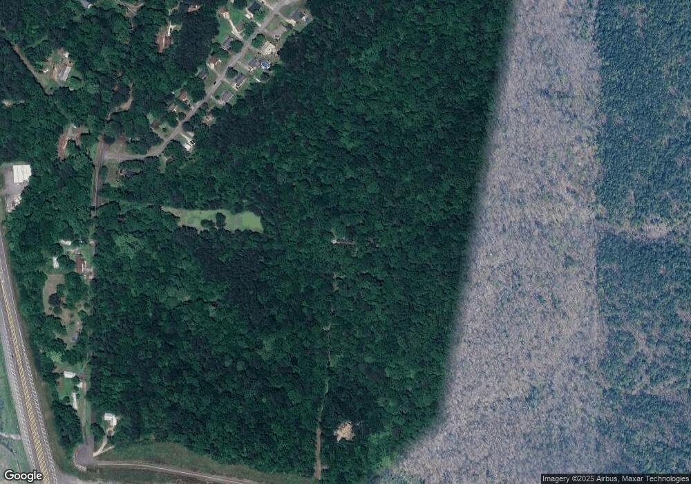
4384 Green Dr Pinson, AL 35126
Estimated Value: $241,000 - $385,000
4
Beds
4
Baths
1,832
Sq Ft
$181/Sq Ft
Est. Value
About This Home
This home is located at 4384 Green Dr, Pinson, AL 35126 and is currently estimated at $332,423, approximately $181 per square foot. 4384 Green Dr is a home located in Jefferson County with nearby schools including Pinson Elementary School, Kermit A. Johnson Elementary School, and Rudd Middle School.
Ownership History
Date
Name
Owned For
Owner Type
Purchase Details
Closed on
Nov 28, 2007
Sold by
Stephens Christina B and Moshier Charles V
Bought by
Waid Phillip B
Current Estimated Value
Home Financials for this Owner
Home Financials are based on the most recent Mortgage that was taken out on this home.
Original Mortgage
$298,900
Outstanding Balance
$189,777
Interest Rate
6.36%
Mortgage Type
Purchase Money Mortgage
Estimated Equity
$142,646
Purchase Details
Closed on
Sep 22, 1997
Sold by
Cox Dwaine and Cox Leslie Ann
Bought by
Stephens Donald J and Stephens Kay J
Create a Home Valuation Report for This Property
The Home Valuation Report is an in-depth analysis detailing your home's value as well as a comparison with similar homes in the area
Home Values in the Area
Average Home Value in this Area
Purchase History
| Date | Buyer | Sale Price | Title Company |
|---|---|---|---|
| Waid Phillip B | $298,900 | None Available | |
| Stephens Donald J | $32,500 | Cahaba Title Inc |
Source: Public Records
Mortgage History
| Date | Status | Borrower | Loan Amount |
|---|---|---|---|
| Open | Waid Phillip B | $298,900 |
Source: Public Records
Tax History Compared to Growth
Tax History
| Year | Tax Paid | Tax Assessment Tax Assessment Total Assessment is a certain percentage of the fair market value that is determined by local assessors to be the total taxable value of land and additions on the property. | Land | Improvement |
|---|---|---|---|---|
| 2024 | $1,424 | $29,480 | -- | -- |
| 2022 | $1,619 | $33,370 | $3,750 | $29,620 |
| 2021 | $1,122 | $23,450 | $3,000 | $20,450 |
| 2020 | $1,055 | $22,110 | $3,000 | $19,110 |
| 2019 | $1,055 | $22,120 | $0 | $0 |
| 2018 | $1,264 | $26,280 | $0 | $0 |
| 2017 | $1,264 | $26,280 | $0 | $0 |
| 2016 | $1,264 | $26,280 | $0 | $0 |
| 2015 | $1,264 | $26,280 | $0 | $0 |
| 2014 | $1,605 | $25,840 | $0 | $0 |
| 2013 | $1,605 | $25,840 | $0 | $0 |
Source: Public Records
Map
Nearby Homes
- 8240 Country Cir
- 8232 Country Cir
- 8226 Country Cir
- 8226 8232 8240 Country Cir
- 8400 Country Cir
- 7839 Old Bradford Rd
- 8516 Marsh Mountain Rd
- 4221 Jordan Cir
- 4234 Jordan Cir
- 4210 Jordan Cir
- 4242 Jordan Cir
- 4192 Jordan Cir
- 8596 Old Tennessee Pike Rd Unit 17
- 7624 Aspen Ridge Ln Unit 511
- 7620 Aspen Ridge Ln Unit 512
- 7621 Aspen Ridge Ln Unit 540
- 4457 Littleleaf Way Unit 523
- 7617 Aspen Ridge Ln Unit 539
- 7604 Aspen Ridge Ln Unit 524
- 3960 Redman Hall Rd Unit 6
- 4317 Patty Ln
- 4317 Patty Ln Unit 20
- 4321 Patty Ln
- 4313 Patty Ln
- 4325 Patty Ln
- 4329 Patty Ln
- 4390 Green Dr
- 4309 Patty Ln
- 4391 Green Dr
- 4333 Patty Ln
- 8193 Old Tennessee Pike Rd
- 4337 Patty Ln
- 4341 Patty Ln
- 4316 Patty Ln
- 4345 Patty Ln
- 4301 Patty Ln
- 4320 Patty Ln
- 4312 Patty Ln
- 4324 Patty Ln
- 4328 Patty Ln
