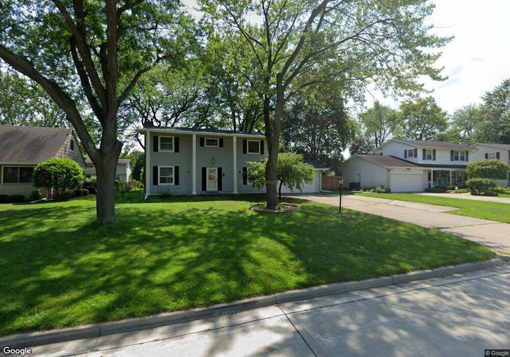
4385 S Wayside Dr Saginaw, MI 48603
Estimated Value: $215,000 - $254,000
4
Beds
3
Baths
2,160
Sq Ft
$110/Sq Ft
Est. Value
About This Home
This home is located at 4385 S Wayside Dr, Saginaw, MI 48603 and is currently estimated at $238,081, approximately $110 per square foot. 4385 S Wayside Dr is a home located in Saginaw County with nearby schools including Sherwood Elementary School, Weiss Elementary School, and White Pine Middle School.
Ownership History
Date
Name
Owned For
Owner Type
Purchase Details
Closed on
Oct 28, 2011
Sold by
Thomas Robert P and Thomas Karin M
Bought by
Ranshaw Evan M
Current Estimated Value
Home Financials for this Owner
Home Financials are based on the most recent Mortgage that was taken out on this home.
Original Mortgage
$104,500
Outstanding Balance
$71,259
Interest Rate
4.02%
Mortgage Type
Purchase Money Mortgage
Estimated Equity
$166,822
Purchase Details
Closed on
Nov 12, 2007
Sold by
Thomas R M and K M
Bought by
Thomas Robert P & Karin M Trust
Create a Home Valuation Report for This Property
The Home Valuation Report is an in-depth analysis detailing your home's value as well as a comparison with similar homes in the area
Home Values in the Area
Average Home Value in this Area
Purchase History
| Date | Buyer | Sale Price | Title Company |
|---|---|---|---|
| Ranshaw Evan M | $110,000 | -- | |
| Thomas Robert P & Karin M Trust | -- | -- |
Source: Public Records
Mortgage History
| Date | Status | Borrower | Loan Amount |
|---|---|---|---|
| Open | Ranshaw Evan M | $104,500 |
Source: Public Records
Tax History Compared to Growth
Tax History
| Year | Tax Paid | Tax Assessment Tax Assessment Total Assessment is a certain percentage of the fair market value that is determined by local assessors to be the total taxable value of land and additions on the property. | Land | Improvement |
|---|---|---|---|---|
| 2025 | $2,929 | $103,500 | $0 | $0 |
| 2024 | $1,530 | $99,000 | $0 | $0 |
| 2023 | $1,432 | $86,700 | $0 | $0 |
| 2022 | $2,504 | $75,800 | $0 | $0 |
| 2021 | $2,309 | $71,100 | $0 | $0 |
| 2020 | $2,255 | $65,000 | $0 | $0 |
| 2019 | $2,155 | $63,800 | $7,000 | $56,800 |
| 2018 | $1,062 | $63,700 | $0 | $0 |
| 2017 | $1,898 | $61,400 | $0 | $0 |
| 2016 | $1,877 | $60,300 | $0 | $0 |
| 2014 | $1,847 | $62,300 | $0 | $54,100 |
| 2013 | -- | $59,400 | $0 | $0 |
Source: Public Records
Map
Nearby Homes
- 4396 Bradford Dr
- 4415 Bradford Dr
- 2688 Linda St
- 2611 Bradford Dr
- 2606 Duane Dr
- 2671 Haenlein Dr
- 3280 Wintergreen Dr E
- 2400 Linda St
- 4215 Woodburn Ct
- 4211 Woodburn Ct
- 4215 Woodburn Ct Unit 17
- 4211 Woodburn Ct Unit 18
- 4073 Woodburn Ct Unit 38
- 3287 Columbine Dr
- 3716 Weiss St
- 3815 Chilton Dr
- 4121 Mackinaw St
- 6050 Mackinaw Rd
- 2764 Dunkirk Dr
- 5105 Cardington Dr
- 4399 S Wayside Dr
- 4373 S Wayside Dr
- 4411 S Wayside Dr
- 4382 Bradford Dr
- 4396 S Wayside Dr
- 4380 S Wayside Dr
- 4410 Bradford Dr
- 4351 S Wayside Dr
- 4368 Bradford Dr
- 4374 S Wayside Dr
- 4410 S Wayside Dr
- 4350 Bradford Dr
- 4335 S Wayside Dr
- 4350 S Wayside Dr
- 2819 Ferndale Dr
- 2837 Ferndale Dr
- 4338 S Wayside Dr
- 4440 Bradford Dr
- 4336 Bradford Dr
- 2880 Ferndale Dr