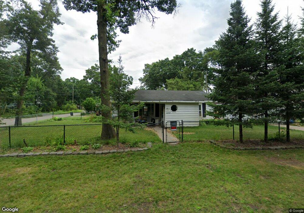
4387 Cedar Ave West Bloomfield, MI 48323
Estimated Value: $175,234 - $212,000
2
Beds
1
Bath
703
Sq Ft
$279/Sq Ft
Est. Value
About This Home
This home is located at 4387 Cedar Ave, West Bloomfield, MI 48323 and is currently estimated at $195,809, approximately $278 per square foot. 4387 Cedar Ave is a home located in Oakland County with nearby schools including Walled Lake Central High School, Our Lady Of Refuge School, and Frankel Jewish Academy Of Metro Detroit.
Ownership History
Date
Name
Owned For
Owner Type
Purchase Details
Closed on
Nov 30, 2012
Sold by
Mann William J and Mann Patricia M
Bought by
Mann William J and Mann Patricia M
Current Estimated Value
Purchase Details
Closed on
Aug 30, 2004
Sold by
Knudson Christine E
Bought by
Mann William J
Home Financials for this Owner
Home Financials are based on the most recent Mortgage that was taken out on this home.
Original Mortgage
$82,000
Outstanding Balance
$41,409
Interest Rate
6.17%
Mortgage Type
New Conventional
Estimated Equity
$154,400
Purchase Details
Closed on
May 3, 1996
Sold by
Dillman William
Bought by
Knudson Christine E
Home Financials for this Owner
Home Financials are based on the most recent Mortgage that was taken out on this home.
Original Mortgage
$36,000
Interest Rate
7.97%
Purchase Details
Closed on
Mar 4, 1993
Sold by
Elisabeth Coana
Bought by
Knudson Christine E
Create a Home Valuation Report for This Property
The Home Valuation Report is an in-depth analysis detailing your home's value as well as a comparison with similar homes in the area
Home Values in the Area
Average Home Value in this Area
Purchase History
| Date | Buyer | Sale Price | Title Company |
|---|---|---|---|
| Mann William J | -- | None Available | |
| Mann William J | -- | None Available | |
| Mann William J | $112,000 | Interstate Title Inc | |
| Knudson Christine E | $72,000 | -- | |
| Knudson Christine E | -- | -- |
Source: Public Records
Mortgage History
| Date | Status | Borrower | Loan Amount |
|---|---|---|---|
| Open | Mann William J | $82,000 | |
| Previous Owner | Knudson Christine E | $36,000 |
Source: Public Records
Tax History Compared to Growth
Tax History
| Year | Tax Paid | Tax Assessment Tax Assessment Total Assessment is a certain percentage of the fair market value that is determined by local assessors to be the total taxable value of land and additions on the property. | Land | Improvement |
|---|---|---|---|---|
| 2024 | $1,260 | $58,290 | $0 | $0 |
| 2022 | $674 | $48,100 | $18,560 | $29,540 |
| 2021 | $1,109 | $46,210 | $0 | $0 |
| 2020 | $667 | $45,430 | $18,560 | $26,870 |
| 2018 | $1,080 | $41,220 | $15,510 | $25,710 |
| 2015 | -- | $33,630 | $0 | $0 |
| 2014 | -- | $31,030 | $0 | $0 |
| 2011 | -- | $27,530 | $0 | $0 |
Source: Public Records
Map
Nearby Homes
- 4335 Crestdale Ave
- 4245 Bunker Ave
- 4442 Borland St
- 6980 Hambro St
- 6978 Colony Dr
- 4212 Greendale Ave
- 7337 Richardson Rd
- 7381 Crestmore St
- 4066 Green Lake Rd
- 0000 Langtoft
- 3991 Fieldview Ave
- 4540 Rolling Pine Ct
- 6675 Langtoft St
- 7359 Woodlore Dr
- 6903 Dandison Blvd
- 3965 Carrick Ave
- 3950 Bradmore Ave
- 6768 Buckland Ave
- 3632 Fieldview Ave
- 7065 Deerwood Trail Unit 27
- 7021 Manderson Terrace
- 4391 Cedar Ave
- 7011 Manderson Terrace
- 4382 Green Lake Rd
- 4396 Cedar Ave
- 4397 Cedar Ave
- 4400 Green Lake Rd
- 4380 Green Lake Rd
- 4405 Cedar Ave
- 4347 Cedar Ave
- 4410 Green Lake Rd
- 000 Manderson Terrace
- 4370 Green Lake Rd
- 4381 Green Lake Rd
- 4395 Middledale Ave
- Lot 12 Cedar Ave
- 4383 Green Lake Rd
- 00 Cedar Ave Lot #11
- 4420 Green Lake Rd
- 4436 Cedar Ave