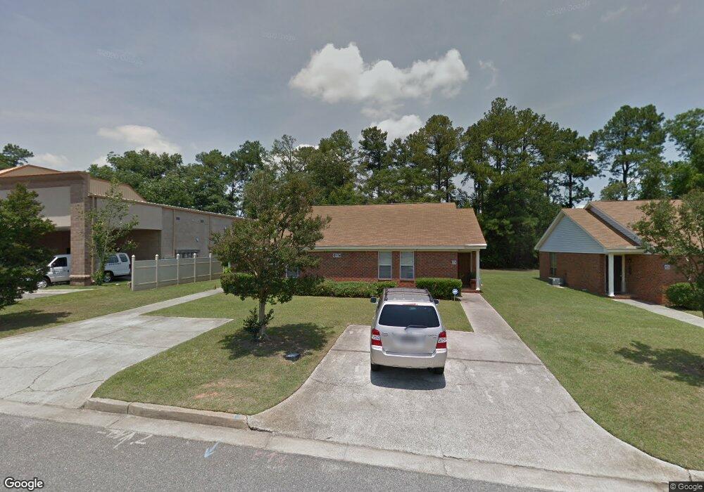
4387 W Maysfield Dr Augusta, GA 30909
Estimated Value: $184,423 - $323,000
6
Beds
1
Bath
2,348
Sq Ft
$102/Sq Ft
Est. Value
About This Home
This home is located at 4387 W Maysfield Dr, Augusta, GA 30909 and is currently estimated at $238,856, approximately $101 per square foot. 4387 W Maysfield Dr is a home located in Columbia County with nearby schools including Northboro Elementary School, Brookwood Elementary School, and Grovetown Middle School.
Ownership History
Date
Name
Owned For
Owner Type
Purchase Details
Closed on
Nov 17, 2008
Sold by
Davis Alpheus
Bought by
J & J Belair Square Inc
Current Estimated Value
Home Financials for this Owner
Home Financials are based on the most recent Mortgage that was taken out on this home.
Original Mortgage
$445,061
Interest Rate
6.51%
Mortgage Type
New Conventional
Purchase Details
Closed on
Feb 21, 2002
Sold by
Palmer Lucille Sapp and Palmer Denny L
Bought by
Davis Alpheus M
Create a Home Valuation Report for This Property
The Home Valuation Report is an in-depth analysis detailing your home's value as well as a comparison with similar homes in the area
Home Values in the Area
Average Home Value in this Area
Purchase History
| Date | Buyer | Sale Price | Title Company |
|---|---|---|---|
| J & J Belair Square Inc | $550,000 | -- | |
| Davis Alpheus M | $75,000 | -- |
Source: Public Records
Mortgage History
| Date | Status | Borrower | Loan Amount |
|---|---|---|---|
| Closed | J & J Belair Square Inc | $445,061 |
Source: Public Records
Tax History Compared to Growth
Tax History
| Year | Tax Paid | Tax Assessment Tax Assessment Total Assessment is a certain percentage of the fair market value that is determined by local assessors to be the total taxable value of land and additions on the property. | Land | Improvement |
|---|---|---|---|---|
| 2025 | $1,153 | $45,858 | $5,004 | $40,854 |
| 2024 | $1,205 | $45,858 | $5,004 | $40,854 |
| 2023 | $1,205 | $47,351 | $5,004 | $42,347 |
| 2022 | $1,290 | $47,351 | $5,004 | $42,347 |
| 2021 | $1,343 | $47,234 | $5,004 | $42,230 |
| 2020 | $1,371 | $0 | $0 | $0 |
| 2019 | $1,326 | $45,643 | $0 | $0 |
| 2018 | $1,353 | $0 | $0 | $0 |
| 2017 | $1,327 | $45,352 | $5,004 | $40,348 |
| 2016 | $1,191 | $41,979 | $4,980 | $36,999 |
| 2015 | $1,232 | $43,416 | $4,980 | $38,436 |
| 2014 | $1,289 | $44,960 | $4,980 | $39,980 |
Source: Public Records
Map
Nearby Homes
- 4355 Ridge Ct
- 4413 Wrightsboro Rd
- 361 Paces Ferry Rd
- 704 Leela Ct
- 591 Old Wheeler Rd
- 3902 Maddox Rd
- 3830 Maddox Rd
- 373 Forest Ct
- 4456 Wrightsboro Rd
- 302 Laurel Place
- 4366 Quail Creek Rd
- 4373 Quail Creek Rd
- 120 Ginkgo Ln
- 4350 Quail Creek Rd
- 1447 Collins Dr
- 2924 Belwood Dr
- 2912 Palmetto Dr
- 4123 Knollcrest Cir N
- 606 Todd Rd
- 706 Muscadine Ct
- 4385 W Maysfield Dr
- 4389 W Maysfield Dr
- 4386 Ridge Pointe Dr
- 4383 W Maysfield Dr
- 4384 Ridge Pointe Dr
- 4388 Ridge Pointe Dr
- 4384 W Maysfield Dr
- 4386 W Maysfield Dr
- 4382 W Maysfield Dr
- 4381 W Maysfield Dr
- 4390 Ridge Pointe Dr
- 4382 Ridge Pointe Dr
- 4392 Ridge Pointe Dr
- 4379 W Maysfield Dr
- 4380 W Maysfield Dr
- 4393 W Maysfield Dr
- 4380 Ridge Pointe Dr
- 4385 Ridge Pointe Dr
- 4378 W Maysfield Dr
- 4364 Ridge Ct