43870 Carla Dr Paw Paw, MI 49079
Estimated Value: $469,000 - $584,914
3
Beds
4
Baths
3,000
Sq Ft
$173/Sq Ft
Est. Value
About This Home
This home is located at 43870 Carla Dr, Paw Paw, MI 49079 and is currently estimated at $517,979, approximately $172 per square foot. 43870 Carla Dr is a home located in Van Buren County with nearby schools including Paw Paw Early Elementary School, Paw Paw Later Elementary School, and Paw Paw Middle School.
Ownership History
Date
Name
Owned For
Owner Type
Purchase Details
Closed on
Mar 30, 2005
Sold by
Drenth Ronald John and Drenth Judith Ann
Bought by
Duff Roger F and Duff Cynthia L
Current Estimated Value
Home Financials for this Owner
Home Financials are based on the most recent Mortgage that was taken out on this home.
Original Mortgage
$223,200
Outstanding Balance
$115,928
Interest Rate
5.88%
Mortgage Type
Fannie Mae Freddie Mac
Estimated Equity
$402,051
Create a Home Valuation Report for This Property
The Home Valuation Report is an in-depth analysis detailing your home's value as well as a comparison with similar homes in the area
Home Values in the Area
Average Home Value in this Area
Purchase History
| Date | Buyer | Sale Price | Title Company |
|---|---|---|---|
| Duff Roger F | $279,000 | Chicago Title Of Michigan |
Source: Public Records
Mortgage History
| Date | Status | Borrower | Loan Amount |
|---|---|---|---|
| Open | Duff Roger F | $223,200 |
Source: Public Records
Tax History Compared to Growth
Tax History
| Year | Tax Paid | Tax Assessment Tax Assessment Total Assessment is a certain percentage of the fair market value that is determined by local assessors to be the total taxable value of land and additions on the property. | Land | Improvement |
|---|---|---|---|---|
| 2025 | $6,051 | $294,900 | $0 | $0 |
| 2024 | $1,809 | $260,800 | $0 | $0 |
| 2023 | $1,723 | $260,600 | $0 | $0 |
| 2022 | $5,450 | $243,600 | $0 | $0 |
| 2021 | $5,285 | $244,700 | $14,400 | $230,300 |
| 2020 | $4,961 | $232,400 | $14,400 | $218,000 |
| 2019 | $4,723 | $229,100 | $229,100 | $0 |
| 2018 | $4,588 | $181,800 | $181,800 | $0 |
| 2017 | $4,467 | $153,600 | $0 | $0 |
| 2016 | $4,437 | $154,600 | $0 | $0 |
| 2015 | $4,154 | $154,600 | $0 | $0 |
| 2014 | $4,184 | $135,727 | $0 | $0 |
| 2013 | -- | $141,800 | $141,800 | $0 |
Source: Public Records
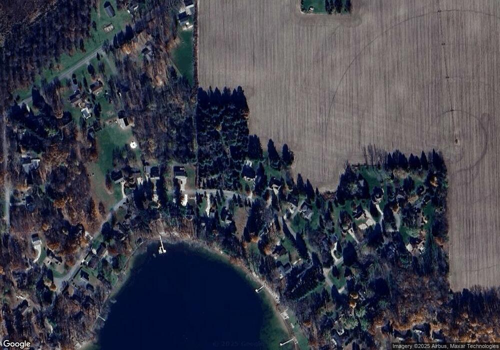
Map
Nearby Homes
- 43618 Carla Dr
- 0 Palmer Dr
- 0 70th Ave
- 44850 Woodman Dr
- 60846 N Lakeshore Dr
- 58356 Cr 671
- 59388 41st St
- Parcel A Territorial Rd
- 58797 Territorial Rd
- 66598 Territorial Rd
- 44702 B 56th Ave
- 38126 72nd Ave
- 38126 72nd Ave Unit b
- 73541 39th St
- 69217 51st St
- 41004 80th Ave
- 80660 42nd St
- 81480 42nd St
- 37111 Paw Rd
- 1 Kasper Dr