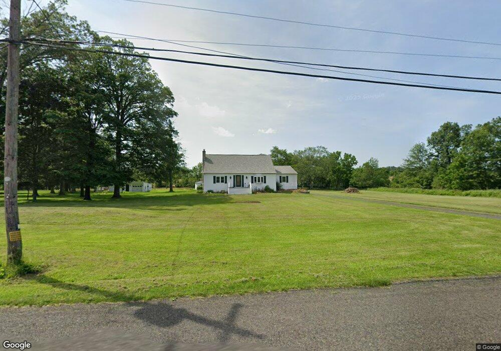
4389 Applebutter Rd Perkasie, PA 18944
Estimated Value: $509,000 - $644,000
3
Beds
1
Bath
2,160
Sq Ft
$266/Sq Ft
Est. Value
About This Home
This home is located at 4389 Applebutter Rd, Perkasie, PA 18944 and is currently estimated at $574,530, approximately $265 per square foot. 4389 Applebutter Rd is a home located in Bucks County with nearby schools including Pennridge High School and Plumstead Christian School.
Ownership History
Date
Name
Owned For
Owner Type
Purchase Details
Closed on
Nov 11, 2016
Sold by
Hunsberger John M and Hunsberger Joy D
Bought by
Hunsberger Joy Danelle
Current Estimated Value
Home Financials for this Owner
Home Financials are based on the most recent Mortgage that was taken out on this home.
Original Mortgage
$190,000
Outstanding Balance
$152,537
Interest Rate
3.42%
Mortgage Type
New Conventional
Estimated Equity
$421,993
Purchase Details
Closed on
Mar 6, 1954
Bought by
Hunsberger Daniel L and Hunsberger Alverna Y
Create a Home Valuation Report for This Property
The Home Valuation Report is an in-depth analysis detailing your home's value as well as a comparison with similar homes in the area
Home Values in the Area
Average Home Value in this Area
Purchase History
| Date | Buyer | Sale Price | Title Company |
|---|---|---|---|
| Hunsberger Joy Danelle | $200,000 | Attorney | |
| Hunsberger Daniel L | -- | -- |
Source: Public Records
Mortgage History
| Date | Status | Borrower | Loan Amount |
|---|---|---|---|
| Open | Hunsberger Joy Danelle | $190,000 |
Source: Public Records
Tax History Compared to Growth
Tax History
| Year | Tax Paid | Tax Assessment Tax Assessment Total Assessment is a certain percentage of the fair market value that is determined by local assessors to be the total taxable value of land and additions on the property. | Land | Improvement |
|---|---|---|---|---|
| 2025 | $4,017 | $23,600 | $3,520 | $20,080 |
| 2024 | $4,017 | $23,600 | $3,520 | $20,080 |
| 2023 | $3,970 | $23,600 | $3,520 | $20,080 |
| 2022 | $3,970 | $23,600 | $3,520 | $20,080 |
| 2021 | $3,970 | $23,600 | $3,520 | $20,080 |
| 2020 | $3,970 | $23,600 | $3,520 | $20,080 |
| 2019 | $3,946 | $23,600 | $3,520 | $20,080 |
| 2018 | $3,946 | $23,600 | $3,520 | $20,080 |
| 2017 | $3,917 | $23,600 | $3,520 | $20,080 |
| 2016 | $3,917 | $23,600 | $3,520 | $20,080 |
| 2015 | -- | $23,600 | $3,520 | $20,080 |
| 2014 | -- | $23,600 | $3,520 | $20,080 |
Source: Public Records
Map
Nearby Homes
- 4000 Miriam Dr
- 1222 Hockley Dr
- 1214 Hockley Dr
- 204 Pennland Farm Dr
- 319 Pennington Way
- 3789 Stump Rd
- Lot 10 Schadle Rd
- 316 Schadle Rd
- 4811 Lincoln Aly
- 81 Williams Dr
- 17 Ruhl Dr
- 238 Allem Ln Unit 238
- 137 S Main St
- 178 Elephant Rd Unit C26
- 178 Elephant Rd Unit A6
- 5068 Kratz Carriage Rd
- 116 Bishop Way
- 135 Bishop Way
- 169 Marlyn Ln
- 291 Elephant Rd
- 4381 Applebutter Rd
- 4299 Applebutter Rd
- 0 Applebutter Rd Unit 1003971349
- 4380 Applebutter Rd
- 4285 Applebutter Rd
- 4479 Applebutter Rd
- 4288 Applebutter Rd
- 4240 Applebutter Rd
- 4234 Applebutter Rd
- 0 Log Cabin Rd
- 00 Log Cabin Rd
- 1002 Landis Rush Dr
- 1000 Landis Rush Dr
- 4209 Applebutter Rd
- 1234 Hockley Dr
- 10 Log Cabin Rd
- 4192 Applebutter Rd
- 1232 Hockley Dr
- 1001 Landis Rush Dr
- 4220 Applebutter Rd