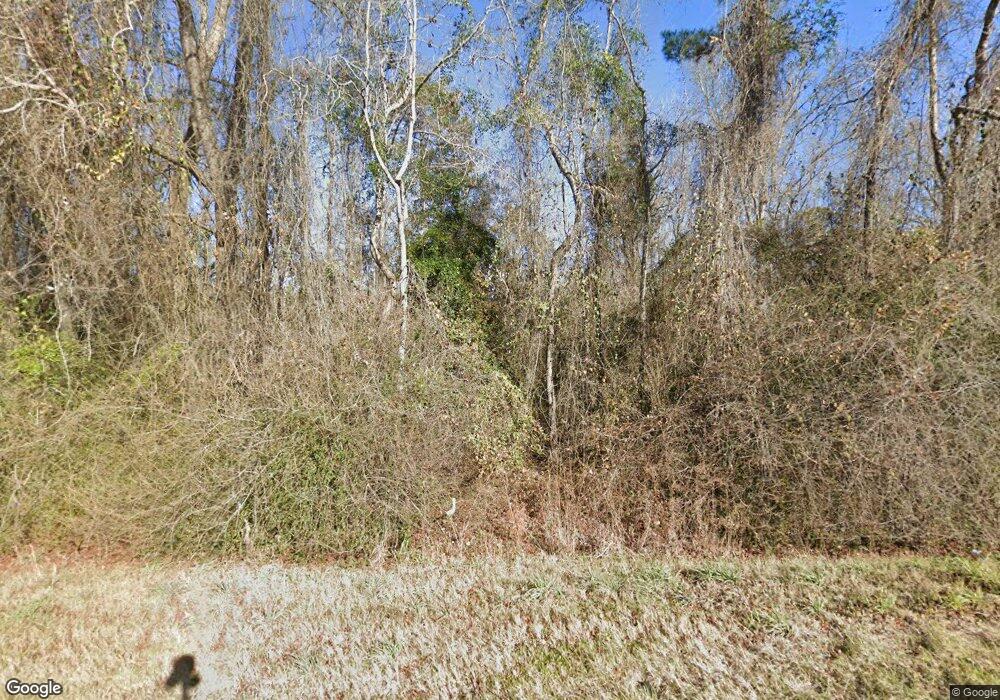
4389 Highway 84 Whigham, GA 39897
Estimated Value: $199,000 - $485,000
4
Beds
--
Bath
960
Sq Ft
$356/Sq Ft
Est. Value
About This Home
This home is located at 4389 Highway 84, Whigham, GA 39897 and is currently estimated at $342,000, approximately $356 per square foot. 4389 Highway 84 is a home.
Ownership History
Date
Name
Owned For
Owner Type
Purchase Details
Closed on
Jan 25, 2011
Sold by
Tandem Development Inc
Bought by
County Of Grady
Current Estimated Value
Purchase Details
Closed on
May 20, 2009
Sold by
County Line Farms Partnership
Bought by
Butler Miller L
Purchase Details
Closed on
Aug 3, 1995
Bought by
County Line Farms
Purchase Details
Closed on
Jul 20, 1990
Bought by
Dickson Ruth T
Create a Home Valuation Report for This Property
The Home Valuation Report is an in-depth analysis detailing your home's value as well as a comparison with similar homes in the area
Home Values in the Area
Average Home Value in this Area
Purchase History
| Date | Buyer | Sale Price | Title Company |
|---|---|---|---|
| County Of Grady | $33,000 | -- | |
| Butler Miller L | $37,873 | -- | |
| Butler Mary Anne | $86,520 | -- | |
| Butler Mary Anne | $35,000 | -- | |
| County Line Farms | -- | -- | |
| Dickson Walter James Tst | -- | -- | |
| Dickson Ruth T | $93,500 | -- |
Source: Public Records
Tax History Compared to Growth
Tax History
| Year | Tax Paid | Tax Assessment Tax Assessment Total Assessment is a certain percentage of the fair market value that is determined by local assessors to be the total taxable value of land and additions on the property. | Land | Improvement |
|---|---|---|---|---|
| 2024 | $3,001 | $185,418 | $141,878 | $43,540 |
| 2023 | $2,883 | $180,475 | $139,475 | $41,000 |
| 2022 | $1,213 | $180,475 | $139,475 | $41,000 |
| 2021 | $2,777 | $180,475 | $139,475 | $41,000 |
| 2020 | $2,744 | $180,475 | $139,475 | $41,000 |
| 2019 | $2,702 | $180,475 | $139,475 | $41,000 |
| 2018 | $2,498 | $180,475 | $139,475 | $41,000 |
| 2017 | $2,343 | $180,475 | $139,475 | $41,000 |
| 2016 | $2,153 | $174,394 | $139,475 | $34,920 |
| 2015 | $2,094 | $174,394 | $139,475 | $34,920 |
| 2014 | $2,119 | $176,394 | $139,475 | $36,920 |
| 2013 | -- | $140,809 | $140,809 | $0 |
Source: Public Records
Map
Nearby Homes
- 165 Larkin St
- 206 Lodge Ln
- 0 Earl Hester Rd
- Harrell Mill Rd
- 292 Sykes Mill Rd
- 267 Providence Rd
- 421 Antioch Church Rd
- 1718 Old 179 S
- 3695 Tired Creek Rd
- 2033 Old 179 N
- 723 Providence Rd
- 141 Covey Rise Rd
- 3667 Lake Douglas Rd
- 00 Tired Creek Rd
- 231 Mcintyre Ln
- 316 Faircloth Rd
- 317 Palmer Rd
- 0 Cal Thomas Rd
- 2992 Thomasville Rd
- 138 Cinnamon Dr
