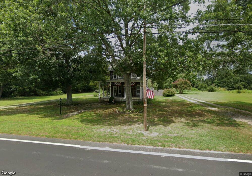
439 Baptist Rd Newport, NJ 08345
Estimated Value: $278,000 - $350,000
3
Beds
2
Baths
2,008
Sq Ft
$158/Sq Ft
Est. Value
About This Home
This home is located at 439 Baptist Rd, Newport, NJ 08345 and is currently estimated at $317,415, approximately $158 per square foot. 439 Baptist Rd is a home located in Cumberland County with nearby schools including Downe Township Elementary School.
Ownership History
Date
Name
Owned For
Owner Type
Purchase Details
Closed on
Oct 13, 2011
Sold by
Pennington Darlene
Bought by
Snidenbach John A and Snidenbach Eileen
Current Estimated Value
Home Financials for this Owner
Home Financials are based on the most recent Mortgage that was taken out on this home.
Original Mortgage
$124,800
Outstanding Balance
$85,732
Interest Rate
4.25%
Mortgage Type
Purchase Money Mortgage
Estimated Equity
$231,683
Create a Home Valuation Report for This Property
The Home Valuation Report is an in-depth analysis detailing your home's value as well as a comparison with similar homes in the area
Home Values in the Area
Average Home Value in this Area
Purchase History
| Date | Buyer | Sale Price | Title Company |
|---|---|---|---|
| Snidenbach John A | $156,000 | -- |
Source: Public Records
Mortgage History
| Date | Status | Borrower | Loan Amount |
|---|---|---|---|
| Open | Snidenbach John A | $124,800 |
Source: Public Records
Tax History Compared to Growth
Tax History
| Year | Tax Paid | Tax Assessment Tax Assessment Total Assessment is a certain percentage of the fair market value that is determined by local assessors to be the total taxable value of land and additions on the property. | Land | Improvement |
|---|---|---|---|---|
| 2025 | $5,416 | $187,800 | $57,500 | $130,300 |
| 2024 | $5,416 | $187,800 | $57,500 | $130,300 |
| 2023 | $4,939 | $187,800 | $57,500 | $130,300 |
| 2022 | $4,815 | $187,800 | $57,500 | $130,300 |
| 2021 | $4,334 | $187,800 | $57,500 | $130,300 |
| 2020 | $4,517 | $187,800 | $57,500 | $130,300 |
| 2019 | $4,441 | $187,800 | $57,500 | $130,300 |
| 2018 | $4,500 | $187,800 | $57,500 | $130,300 |
| 2017 | $4,321 | $187,800 | $57,500 | $130,300 |
| 2016 | $4,318 | $187,800 | $57,500 | $130,300 |
| 2015 | $3,799 | $187,800 | $57,500 | $130,300 |
| 2014 | $3,500 | $187,800 | $57,500 | $130,300 |
Source: Public Records
Map
Nearby Homes
- 13 Hall St
- 303 Baptist Rd
- 442 Shaws Mill Rd
- 184 Landing Rd
- 281 Fortescue Rd
- 0 Relm Ave Unit NJCB2022890
- 0 Keln Ave Unit NJCB2022904
- 91 Landis Ave
- 297 Factory Rd
- 554 Old Beaver Dam Rd
- 377 Main St
- 73 Maple Ave
- 0 Lawn Ave Unit NJCB2022888
- 0 Lawn Ave Unit NJCB2022906
- 0 Forn Unit NJCB2022896
- 0 W Forn Unit NJCB2022892
- 348 Main St
- 0 Nark-Lawn Ave Unit NJCB2022900
- 0 Nark-Lawn Ave Unit NJCB2022902
- 0 Nark-Lawn Ave Unit NJCB2022898