439 Bexton Rd Moreland, GA 30259
Estimated Value: $320,000 - $429,000
3
Beds
3
Baths
2,112
Sq Ft
$183/Sq Ft
Est. Value
About This Home
This home is located at 439 Bexton Rd, Moreland, GA 30259 and is currently estimated at $387,073, approximately $183 per square foot. 439 Bexton Rd is a home located in Coweta County with nearby schools including Moreland Elementary School, Smokey Road Middle School, and Newnan High School.
Ownership History
Date
Name
Owned For
Owner Type
Purchase Details
Closed on
Mar 15, 2001
Sold by
Carlisle Paula K
Bought by
Carlisle Phillip L
Current Estimated Value
Purchase Details
Closed on
Jun 1, 1995
Bought by
Hopkins Harold
Purchase Details
Closed on
Dec 21, 1993
Bought by
Hopkins Harold
Purchase Details
Closed on
Nov 9, 1993
Bought by
Coweta County
Create a Home Valuation Report for This Property
The Home Valuation Report is an in-depth analysis detailing your home's value as well as a comparison with similar homes in the area
Home Values in the Area
Average Home Value in this Area
Purchase History
| Date | Buyer | Sale Price | Title Company |
|---|---|---|---|
| Carlisle Phillip L | -- | -- | |
| Hopkins Harold | -- | -- | |
| Hopkins Harold | -- | -- | |
| Coweta County | -- | -- |
Source: Public Records
Tax History Compared to Growth
Tax History
| Year | Tax Paid | Tax Assessment Tax Assessment Total Assessment is a certain percentage of the fair market value that is determined by local assessors to be the total taxable value of land and additions on the property. | Land | Improvement |
|---|---|---|---|---|
| 2025 | $2,268 | $155,369 | $38,742 | $116,627 |
| 2024 | $2,102 | $150,253 | $36,208 | $114,045 |
| 2023 | $2,102 | $138,026 | $34,196 | $103,830 |
| 2022 | $1,239 | $108,892 | $19,581 | $89,311 |
| 2021 | $1,472 | $98,363 | $18,649 | $79,714 |
| 2020 | $1,478 | $98,363 | $18,649 | $79,714 |
| 2019 | $1,520 | $80,860 | $16,906 | $63,954 |
| 2018 | $1,524 | $80,860 | $16,906 | $63,954 |
| 2017 | $1,524 | $80,860 | $16,906 | $63,954 |
| 2016 | $1,499 | $80,860 | $16,906 | $63,954 |
| 2015 | $2,171 | $80,860 | $16,906 | $63,954 |
| 2014 | $2,156 | $80,860 | $16,906 | $63,954 |
Source: Public Records
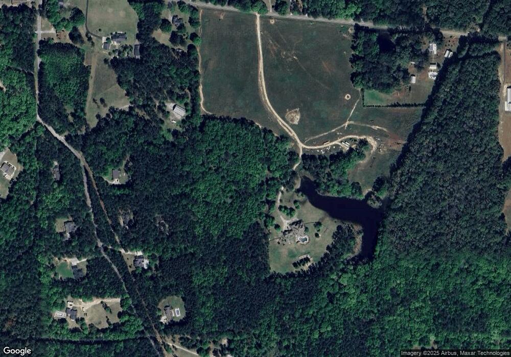
Map
Nearby Homes
- 04 Bears Bend
- 120 Bexton Rd
- 0 Lamb Rd Unit 10571369
- 276 Lee Thompson Rd
- 79 Lamb Rd
- 223 Donald Lamb Rd
- 3486 S Highway 29
- 296 Deer Creek Run Unit LOT 11
- 188 Ball St
- 110 Moreland Oaks Dr
- 24 Deer Creek Ct
- 30 Deer Creek Ct
- 230 Haynes Rd
- 2486 Highway 54 Unit LOT 4
- LOT 1 Haynes Rd
- 114 Dingler Rd
- 1234 Haynie Rd
- 8 Cameron St
- 145 E Camp St
- 59 Akers Lake Dr
- 448 Bexton Rd
- 11 Andrew R Evans Rd
- 458 Bexton Rd
- 379 Bexton Rd
- 394 Bexton Rd
- 104 Trammell Rd
- 488 Bexton Rd
- 376 Bexton Rd
- 61 Andrew R Evans Rd
- 36 Trammell Rd
- 359 Bexton Rd
- 42 Andrew R Evans Rd
- 34 Andrew R Evans Rd
- 502 Bexton Rd
- 0 Trammell Rd Unit 220 8242367
- 0 Trammell Rd Unit 220 7020677
- 0 Trammell Rd Unit 220 7516782
- 0 Trammell Rd Unit 2 8883569
- 79 Andrew R Evans Rd
- 512 Bexton Rd