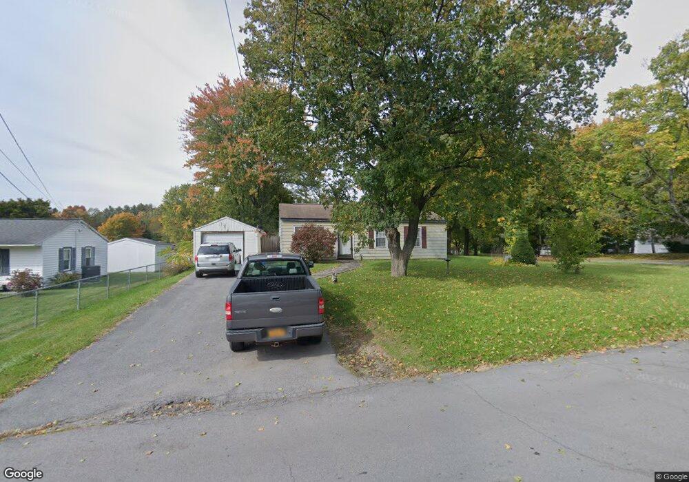
439 Briarcliff Ave Utica, NY 13502
North Utica NeighborhoodEstimated Value: $87,000 - $204,000
3
Beds
1
Bath
925
Sq Ft
$170/Sq Ft
Est. Value
About This Home
This home is located at 439 Briarcliff Ave, Utica, NY 13502 and is currently estimated at $157,048, approximately $169 per square foot. 439 Briarcliff Ave is a home located in Oneida County with nearby schools including Thomas R. Proctor High School, Utica Academy of Science Charter School, and Christian Heritage School.
Ownership History
Date
Name
Owned For
Owner Type
Purchase Details
Closed on
May 29, 2008
Sold by
Clemente Dominick P
Bought by
Moore Dennis A
Current Estimated Value
Home Financials for this Owner
Home Financials are based on the most recent Mortgage that was taken out on this home.
Original Mortgage
$82,348
Outstanding Balance
$41,048
Interest Rate
5.91%
Mortgage Type
Purchase Money Mortgage
Estimated Equity
$116,000
Purchase Details
Closed on
Nov 14, 2005
Sold by
Kennedy Waiyee
Bought by
Clemente Dominick
Create a Home Valuation Report for This Property
The Home Valuation Report is an in-depth analysis detailing your home's value as well as a comparison with similar homes in the area
Home Values in the Area
Average Home Value in this Area
Purchase History
| Date | Buyer | Sale Price | Title Company |
|---|---|---|---|
| Moore Dennis A | $83,000 | -- | |
| Clemente Dominick | $65,500 | -- |
Source: Public Records
Mortgage History
| Date | Status | Borrower | Loan Amount |
|---|---|---|---|
| Open | Moore Dennis A | $82,348 |
Source: Public Records
Tax History Compared to Growth
Tax History
| Year | Tax Paid | Tax Assessment Tax Assessment Total Assessment is a certain percentage of the fair market value that is determined by local assessors to be the total taxable value of land and additions on the property. | Land | Improvement |
|---|---|---|---|---|
| 2024 | $2,279 | $37,200 | $13,300 | $23,900 |
| 2023 | $787 | $37,200 | $13,300 | $23,900 |
| 2022 | $1,010 | $37,200 | $13,300 | $23,900 |
| 2021 | $1,289 | $37,200 | $13,300 | $23,900 |
| 2020 | $1,186 | $37,200 | $13,300 | $23,900 |
| 2019 | $447 | $37,200 | $13,300 | $23,900 |
| 2018 | $1,476 | $37,200 | $13,300 | $23,900 |
| 2017 | $1,444 | $37,200 | $13,300 | $23,900 |
| 2016 | $2,378 | $37,200 | $13,300 | $23,900 |
| 2015 | -- | $37,200 | $13,300 | $23,900 |
| 2014 | -- | $37,200 | $13,300 | $23,900 |
Source: Public Records
Map
Nearby Homes
- 170 Concord Dr
- 5720 Mapleton Dr
- 516 Woodburne Dr
- 1506 Bette Rd
- 606 Sycamore Ln
- 128 Concord Dr
- 616 Sycamore Ln
- 239 Colonial Cir
- 1427 Fairwood Dr
- 5635 Mapleton Dr
- 435 Brody Dr
- 153 Rodeo Dr
- 164 Rodeo Dr
- 125 Windsor Cir
- 422 Donegal Dr
- 403 Brody Dr
- 10830 Cosby Manor Rd
- 1305 Fairwood Dr
- 1355 Herkimer Rd
- 10799 Cosby Manor Rd
- 437 Briarcliff Ave
- 424 Woodburne Dr
- 440 Briarcliff Ave
- 422 Woodburne Dr
- 441 Briarcliff Ave
- 435 Briarcliff Ave
- 438 Briarcliff Ave
- 442 Briarcliff Ave
- 1507 Redwood Ave
- 420 Woodburne Dr
- 436 Briarcliff Ave
- 500 Briarcliff Ave
- 503 Briarcliff Ave
- 433 Briarcliff Ave
- 502 Woodburne Dr
- 418 Woodburne Dr
- 425 Woodburne Dr
- 502 Briarcliff Ave
- 169 Concord Dr
- 434 Briarcliff Ave