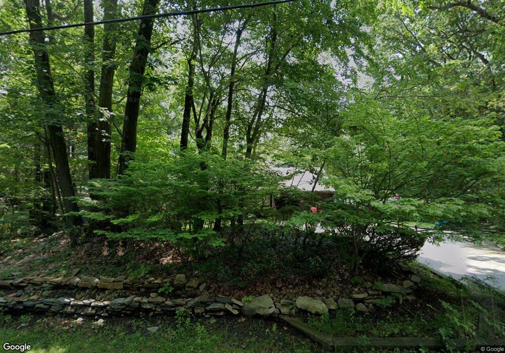
439 Central Turnpike Sutton, MA 01590
Estimated Value: $630,018 - $752,000
3
Beds
2
Baths
1,862
Sq Ft
$359/Sq Ft
Est. Value
About This Home
This home is located at 439 Central Turnpike, Sutton, MA 01590 and is currently estimated at $669,255, approximately $359 per square foot. 439 Central Turnpike is a home located in Worcester County with nearby schools including Sutton Elementary School, Sutton Middle School, and Sutton High School.
Ownership History
Date
Name
Owned For
Owner Type
Purchase Details
Closed on
Dec 10, 2003
Sold by
Tello Gerald F and Tello Virginia M
Bought by
Gaucher-Hibbard Jayne E and Hibbard Robert D
Current Estimated Value
Home Financials for this Owner
Home Financials are based on the most recent Mortgage that was taken out on this home.
Original Mortgage
$261,600
Outstanding Balance
$121,390
Interest Rate
5.9%
Mortgage Type
Purchase Money Mortgage
Estimated Equity
$547,865
Create a Home Valuation Report for This Property
The Home Valuation Report is an in-depth analysis detailing your home's value as well as a comparison with similar homes in the area
Home Values in the Area
Average Home Value in this Area
Purchase History
| Date | Buyer | Sale Price | Title Company |
|---|---|---|---|
| Gaucher-Hibbard Jayne E | $327,500 | -- |
Source: Public Records
Mortgage History
| Date | Status | Borrower | Loan Amount |
|---|---|---|---|
| Open | Gaucher-Hibbard Jayne E | $261,600 |
Source: Public Records
Tax History
| Year | Tax Paid | Tax Assessment Tax Assessment Total Assessment is a certain percentage of the fair market value that is determined by local assessors to be the total taxable value of land and additions on the property. | Land | Improvement |
|---|---|---|---|---|
| 2025 | $6,973 | $580,100 | $193,700 | $386,400 |
| 2024 | $7,184 | $566,600 | $184,500 | $382,100 |
| 2023 | $7,140 | $515,500 | $167,700 | $347,800 |
| 2022 | $6,353 | $418,500 | $128,700 | $289,800 |
| 2021 | $5,083 | $404,000 | $128,700 | $275,300 |
| 2020 | $6,223 | $392,400 | $128,700 | $263,700 |
| 2019 | $6,000 | $363,200 | $128,700 | $234,500 |
| 2018 | $78 | $348,800 | $128,700 | $220,100 |
| 2017 | $5,600 | $339,400 | $113,500 | $225,900 |
| 2016 | $5,516 | $330,700 | $113,500 | $217,200 |
| 2015 | $5,301 | $317,800 | $113,500 | $204,300 |
| 2014 | $5,273 | $312,400 | $119,400 | $193,000 |
Source: Public Records
Map
Nearby Homes
- 399 Central Turnpike
- 345 Central Turnpike
- 37 Putnam Hill Rd
- 198 Uxbridge Rd
- 416 Boston Rd
- 5 Putnam Hill Rd
- 63 Uxbridge Rd
- 278 Putnam Hill Rd
- 66 Hutchinson Rd
- 354 W Sutton Rd
- 47 Singletary Ave
- 1 Burbank Rd
- 324 W Sutton Rd
- 37 W Millbury Rd
- 32 Sibley Rd
- 186 8 Lots Rd
- 126 Burbank Rd
- 229 Worcester-Providence Turnpike
- 175 Armsby Rd
- 14 Millers Way Unit D
- 437 Central Turnpike
- 442 Central Turnpike
- 441 Central Turnpike
- 434 Central Turnpike
- 438 Central Turnpike
- 429 Central Turnpike
- 448 Central Turnpike
- 449 Central Turnpike
- 455 Central Turnpike
- 419 Central Turnpike
- 450 Central Turnpike
- 454 Central Turnpike
- 97 Putnam Hill Rd
- 197 Mendon Rd
- 415 Central Turnpike
- 460 Central Turnpike
- 459 Central Turnpike
- 183 Mendon Rd
- 193 Mendon Rd
- 179 Mendon Rd
Your Personal Tour Guide
Ask me questions while you tour the home.