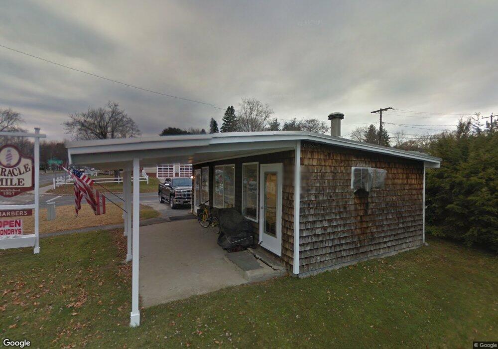
439 Dalton Ave Pittsfield, MA 01201
Estimated Value: $79,214
Studio
--
Bath
1,064
Sq Ft
$74/Sq Ft
Est. Value
About This Home
This home is located at 439 Dalton Ave, Pittsfield, MA 01201 and is currently estimated at $79,214, approximately $74 per square foot. 439 Dalton Ave is a home located in Berkshire County with nearby schools including Allendale Elementary School, Theodore Herberg Middle School, and Pittsfield High School.
Ownership History
Date
Name
Owned For
Owner Type
Purchase Details
Closed on
Jul 7, 2021
Sold by
Rose Jeffrey H
Bought by
Zamboni Michael G
Current Estimated Value
Purchase Details
Closed on
Jun 8, 2021
Sold by
Rose Ft
Bought by
Rose Jeffrey H
Purchase Details
Closed on
Jun 19, 2007
Sold by
Rose Carol P
Bought by
Rose Jeffrey H
Home Financials for this Owner
Home Financials are based on the most recent Mortgage that was taken out on this home.
Original Mortgage
$134,000
Interest Rate
6.19%
Mortgage Type
Commercial
Create a Home Valuation Report for This Property
The Home Valuation Report is an in-depth analysis detailing your home's value as well as a comparison with similar homes in the area
Home Values in the Area
Average Home Value in this Area
Purchase History
| Date | Buyer | Sale Price | Title Company |
|---|---|---|---|
| Zamboni Michael G | $60,000 | None Available | |
| Rose Jeffrey H | -- | None Available | |
| Rose Jeffrey H | $134,000 | -- |
Source: Public Records
Mortgage History
| Date | Status | Borrower | Loan Amount |
|---|---|---|---|
| Previous Owner | Rose Jeffrey H | $134,000 |
Source: Public Records
Tax History
| Year | Tax Paid | Tax Assessment Tax Assessment Total Assessment is a certain percentage of the fair market value that is determined by local assessors to be the total taxable value of land and additions on the property. | Land | Improvement |
|---|---|---|---|---|
| 2025 | $2,858 | $75,300 | $64,800 | $10,500 |
| 2024 | $2,983 | $75,300 | $64,800 | $10,500 |
| 2023 | $2,953 | $75,300 | $64,800 | $10,500 |
| 2022 | $3,308 | $82,900 | $64,800 | $18,100 |
| 2021 | $3,379 | $84,500 | $65,600 | $18,900 |
| 2020 | $3,410 | $84,500 | $65,600 | $18,900 |
| 2019 | $3,375 | $84,500 | $65,600 | $18,900 |
| 2018 | $3,648 | $84,500 | $65,600 | $18,900 |
| 2017 | $3,361 | $84,500 | $65,600 | $18,900 |
| 2016 | $3,219 | $84,590 | $65,600 | $18,990 |
| 2015 | $3,099 | $84,590 | $65,600 | $18,990 |
Source: Public Records
Map
Nearby Homes
- 121 Elberon Ave
- 258 Dalton Ave
- 607 Crane Ave
- 167 E Park Terrace
- 21 Ensign Ave
- 0 Stanley Ave
- 81 Dartmouth St Unit 108
- 91 Dalton Ave
- 40 Roland St
- 96 Broadview Terrace
- 74 Norman Ave
- 127 Oak Hill Rd
- 50 Grand Ave
- 71 Dickinson Ave
- I11001904 Scammell Ave
- 1842 East St
- 0 Faucett Ln
- 245 Cheshire Rd Unit 54
- 121 Kittredge Rd
- 0 Brown St
- 441 Dalton Ave
- 423 Dalton Ave
- 16 Yorkshire Ave
- 342 Connecticut Ave
- 428 Dalton Ave
- 17 Yorkshire Ave
- 444 Dalton Ave
- 419 Dalton Ave
- 424 Dalton Ave
- 21 Yorkshire Ave
- 448 Dalton Ave
- 420 Dalton Ave
- 415 Dalton Ave
- 334 Connecticut Ave
- 4 Plastics Ave
- 414 Dalton Ave
- 329 Connecticut Ave
- 12 Kensington Ave
- 25 Yorkshire Ave
- 26 Yorkshire Ave
Your Personal Tour Guide
Ask me questions while you tour the home.