439 Dedham St Unit E Newton Center, MA 02459
Newton Highlands NeighborhoodEstimated Value: $1,465,910 - $1,770,000
3
Beds
2
Baths
1,907
Sq Ft
$838/Sq Ft
Est. Value
About This Home
This home is located at 439 Dedham St Unit E, Newton Center, MA 02459 and is currently estimated at $1,598,728, approximately $838 per square foot. 439 Dedham St Unit E is a home located in Middlesex County with nearby schools including Countryside Elementary School, Charles E Brown Middle School, and Newton South High School.
Ownership History
Date
Name
Owned For
Owner Type
Purchase Details
Closed on
Aug 22, 2003
Sold by
Marmorek Ruth D
Bought by
Kasarjian Parnag H and Kasarjian Nancy D
Current Estimated Value
Home Financials for this Owner
Home Financials are based on the most recent Mortgage that was taken out on this home.
Original Mortgage
$350,000
Outstanding Balance
$153,003
Interest Rate
5.52%
Mortgage Type
Purchase Money Mortgage
Estimated Equity
$1,445,725
Create a Home Valuation Report for This Property
The Home Valuation Report is an in-depth analysis detailing your home's value as well as a comparison with similar homes in the area
Home Values in the Area
Average Home Value in this Area
Purchase History
| Date | Buyer | Sale Price | Title Company |
|---|---|---|---|
| Kasarjian Parnag H | $715,000 | -- |
Source: Public Records
Mortgage History
| Date | Status | Borrower | Loan Amount |
|---|---|---|---|
| Open | Kasarjian Parnag H | $350,000 |
Source: Public Records
Tax History Compared to Growth
Tax History
| Year | Tax Paid | Tax Assessment Tax Assessment Total Assessment is a certain percentage of the fair market value that is determined by local assessors to be the total taxable value of land and additions on the property. | Land | Improvement |
|---|---|---|---|---|
| 2025 | $11,886 | $1,212,900 | $0 | $1,212,900 |
| 2024 | $11,493 | $1,177,600 | $0 | $1,177,600 |
| 2023 | $11,237 | $1,103,800 | $0 | $1,103,800 |
| 2022 | $11,059 | $1,051,200 | $0 | $1,051,200 |
| 2021 | $10,671 | $991,700 | $0 | $991,700 |
| 2020 | $12,772 | $991,700 | $0 | $991,700 |
| 2019 | $10,061 | $962,800 | $0 | $962,800 |
| 2018 | $10,041 | $928,000 | $0 | $928,000 |
| 2017 | $10,319 | $928,000 | $0 | $928,000 |
| 2016 | $9,870 | $867,300 | $0 | $867,300 |
| 2015 | $9,590 | $826,000 | $0 | $826,000 |
Source: Public Records
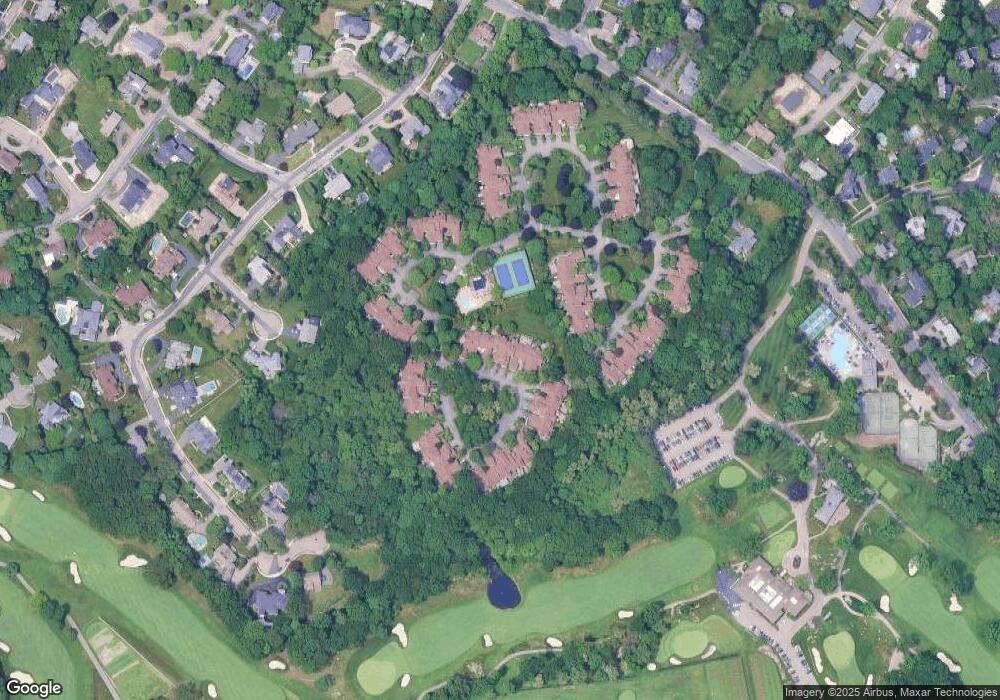
Map
Nearby Homes
- 415 Dedham St Unit D
- 15 Buff Cir
- 58 Country Club Rd
- 36 Cannon St
- 207 Nahanton St Unit 207
- 250 Woodcliff Rd
- 51 Carl St
- 65 Levbert Rd
- 45 Brandeis Rd
- 36 Roland St
- 210 Nahanton St Unit 404
- 128 Charlemont St
- 135 Hartman Rd
- 41 Juniper Ln
- 19 Selwyn Rd
- 36 Ober Rd
- 35 Haynes Rd
- 116 Upland Ave
- 59 Deborah Rd
- 44 Lovett Rd
- 439 Dedham St Unit F
- 439 Dedham St Unit D
- 439 Dedham St Unit C
- 439 Dedham St Unit B
- 439 Dedham St Unit A
- 439 Dedham St Unit F6
- 439 Dedham St Unit C3
- 439 Dedham St Unit 439C
- 435 Dedham St Unit E
- 435 Dedham St Unit D
- 435 Dedham St Unit C
- 435 Dedham St Unit B
- 435 Dedham St Unit A
- 431 Dedham St Unit D
- 431 Dedham St Unit C
- 431 Dedham St Unit B
- 431 Dedham St Unit A
- 421 Dedham St Unit D
- 421 Dedham St Unit C
- 421 Dedham St Unit B