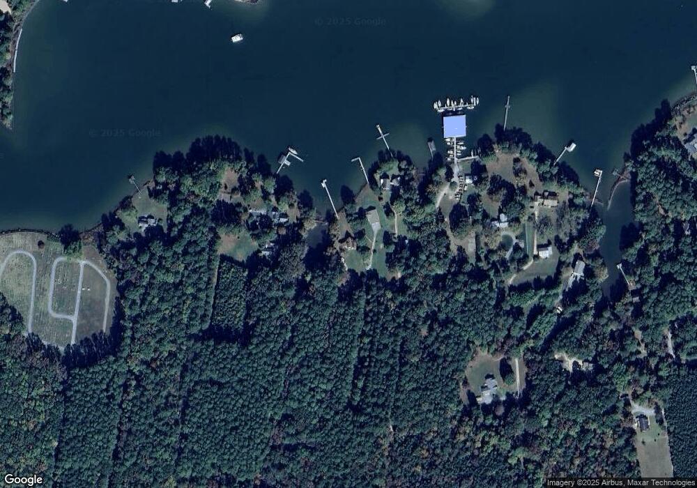
439 Forrest Ln Cobbs Creek, VA 23035
Mathews NeighborhoodEstimated Value: $852,914 - $963,000
3
Beds
2
Baths
2,457
Sq Ft
$366/Sq Ft
Est. Value
About This Home
This home is located at 439 Forrest Ln, Cobbs Creek, VA 23035 and is currently estimated at $899,305, approximately $366 per square foot. 439 Forrest Ln is a home located in Mathews County with nearby schools including Thomas Hunter Middle School and Mathews High School.
Ownership History
Date
Name
Owned For
Owner Type
Purchase Details
Closed on
Dec 30, 2015
Sold by
Vuich David and Welch Vuich Ginger
Bought by
Dunn Phillip C and Podd Joan A
Current Estimated Value
Home Financials for this Owner
Home Financials are based on the most recent Mortgage that was taken out on this home.
Original Mortgage
$292,740
Outstanding Balance
$232,975
Interest Rate
3.98%
Mortgage Type
New Conventional
Estimated Equity
$666,330
Create a Home Valuation Report for This Property
The Home Valuation Report is an in-depth analysis detailing your home's value as well as a comparison with similar homes in the area
Home Values in the Area
Average Home Value in this Area
Purchase History
| Date | Buyer | Sale Price | Title Company |
|---|---|---|---|
| Dunn Phillip C | $487,900 | First American Title Insuran |
Source: Public Records
Mortgage History
| Date | Status | Borrower | Loan Amount |
|---|---|---|---|
| Open | Dunn Phillip C | $292,740 |
Source: Public Records
Tax History Compared to Growth
Tax History
| Year | Tax Paid | Tax Assessment Tax Assessment Total Assessment is a certain percentage of the fair market value that is determined by local assessors to be the total taxable value of land and additions on the property. | Land | Improvement |
|---|---|---|---|---|
| 2025 | $4,504 | $750,600 | $176,400 | $574,200 |
| 2024 | $4,203 | $750,600 | $176,400 | $574,200 |
| 2023 | $4,203 | $750,600 | $176,400 | $574,200 |
| 2022 | $3,473 | $542,700 | $176,400 | $366,300 |
| 2021 | $3,500 | $542,700 | $176,400 | $366,300 |
| 2020 | $3,500 | $542,700 | $176,400 | $366,300 |
| 2019 | $3,500 | $542,700 | $176,400 | $366,300 |
| 2018 | $3,121 | $542,700 | $176,400 | $366,300 |
| 2017 | $3,121 | $542,700 | $176,400 | $366,300 |
| 2015 | $26,568 | $0 | $0 | $0 |
| 2014 | $26,568 | $492,000 | $176,400 | $315,600 |
| 2013 | $2,312 | $492,000 | $176,400 | $315,600 |
Source: Public Records
Map
Nearby Homes
- 2Lots-10171&10172 Queens Creek Rd
- 229 Skipjack Ln
- 141 Blue Heron Ln
- 6285 Buckley Hall Rd
- 628 Starkwood Ln
- 70 Postle Cove Rd
- 6109 Buckley Hall Rd
- 6080 Buckley Hall Rd
- 98 Bradfords Rd
- Lot65A Old Ferry Rd
- Lot 66 Old Ferry Rd
- 2208 Old Ferry Rd
- 0000 Old Ferry Rd
- .51+AC Old Ferry Rd
- 2210 Old Ferry Rd
- 5667 Buckley Hall Rd
- 18 AC Buckley Hall Rd
- 2.67 AC Godfrey Bay Rd
- 2.29 AC Godfrey Bay Rd
- 2.67 Godfrey Bay Rd
- 444 Forrest Ln
- 445 Forrest Ln
- 321 Walnut Acres Ln
- 364 Walnut Acres Ln
- 271 Walnut Acres Ln
- 377 Adams Ln
- 316 Walnut Acres Ln
- 234 Walnut Acres Ln
- 369 Queens Creek Rd
- 193 Oyster Ln
- 277 Queens Creek Rd
- 0 Walnut Acres Ln
- 407 Lewis Ln
- 271 Queens Creek Rd
- 411 Lewis Ln
- 447 Queens Creek Rd
- 237 Hunley's Cove Ln
- 415 Lewis Ln
- 268 Hunleys Cove Ln
- 00 Smithers Ln
