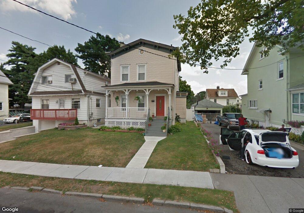
439 Howe Ave Passaic, NJ 07055
Estimated Value: $521,000 - $718,000
Studio
--
Bath
1,448
Sq Ft
$429/Sq Ft
Est. Value
About This Home
This home is located at 439 Howe Ave, Passaic, NJ 07055 and is currently estimated at $620,810, approximately $428 per square foot. 439 Howe Ave is a home located in Passaic County with nearby schools including Passaic High School # 12, Ybh Of Passaic-Hillel, and Collegiate School.
Ownership History
Date
Name
Owned For
Owner Type
Purchase Details
Closed on
Jan 17, 2006
Sold by
Kropliak Glenn P
Bought by
Cedeno Peter and Cedeno Marleny
Current Estimated Value
Home Financials for this Owner
Home Financials are based on the most recent Mortgage that was taken out on this home.
Original Mortgage
$432,000
Outstanding Balance
$243,391
Interest Rate
6.31%
Estimated Equity
$377,419
Purchase Details
Closed on
May 7, 2003
Sold by
Spoelstra Susan
Bought by
Kropilak Glenn
Purchase Details
Closed on
Jan 23, 2002
Sold by
Giardiello Jon
Bought by
Stephen Nimitz Realty
Home Financials for this Owner
Home Financials are based on the most recent Mortgage that was taken out on this home.
Original Mortgage
$100,000
Interest Rate
7.01%
Create a Home Valuation Report for This Property
The Home Valuation Report is an in-depth analysis detailing your home's value as well as a comparison with similar homes in the area
Home Values in the Area
Average Home Value in this Area
Purchase History
| Date | Buyer | Sale Price | Title Company |
|---|---|---|---|
| Cedeno Peter | $540,000 | -- | |
| Kropilak Glenn | $25,000 | -- | |
| Stephen Nimitz Realty | $100,000 | -- |
Source: Public Records
Mortgage History
| Date | Status | Borrower | Loan Amount |
|---|---|---|---|
| Open | Cedeno Peter | $432,000 | |
| Previous Owner | Stephen Nimitz Realty | $100,000 |
Source: Public Records
Tax History
| Year | Tax Paid | Tax Assessment Tax Assessment Total Assessment is a certain percentage of the fair market value that is determined by local assessors to be the total taxable value of land and additions on the property. | Land | Improvement |
|---|---|---|---|---|
| 2025 | $15,548 | $377,100 | $105,200 | $271,900 |
| 2024 | $15,099 | $377,100 | $105,200 | $271,900 |
Source: Public Records
Map
Nearby Homes
- 16 Parkview Place
- 18 Guenther Place
- 9 Century Place
- 11 Century Place
- 412 Broadway Unit 32B
- 435 Van Houten Ave Unit 307
- 16 Mineral Spring Ave
- 56 Dawson Ave
- 383 Broadway
- 189 Mineral Spring Ave
- 112 Dawson Ave
- 90 Dick St
- 55 Heights Rd
- 72 Richard St
- 72 Richard St Unit 3
- 76 Scoles Ave
- 106 Speer Ave
- 136 Martin Ave
- 102 Scoles Ave
- 80 Major St
Your Personal Tour Guide
Ask me questions while you tour the home.