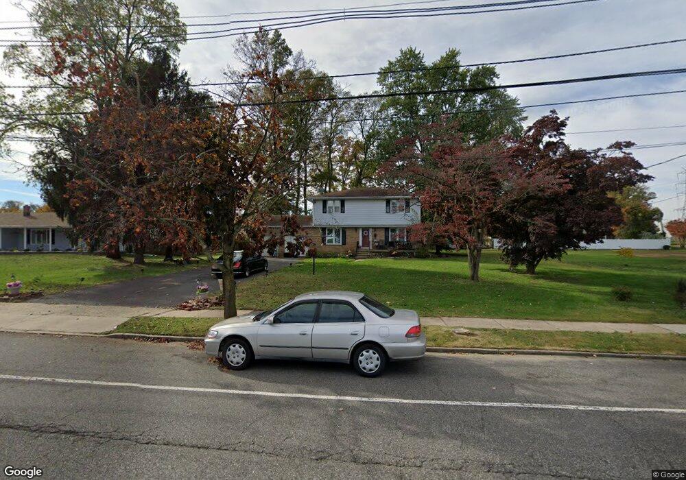
439 Independence Ave Trenton, NJ 08610
Franklin Park NeighborhoodEstimated Value: $429,372 - $493,000
--
Bed
--
Bath
1,768
Sq Ft
$261/Sq Ft
Est. Value
About This Home
This home is located at 439 Independence Ave, Trenton, NJ 08610 and is currently estimated at $461,593, approximately $261 per square foot. 439 Independence Ave is a home located in Mercer County with nearby schools including Lalor Elementary School, Albert E. Grice Middle School, and Hamilton West-Watson High School.
Ownership History
Date
Name
Owned For
Owner Type
Purchase Details
Closed on
Mar 7, 2005
Sold by
Forker Agnes
Bought by
Wormley Ernest and Wormley Mavis
Current Estimated Value
Home Financials for this Owner
Home Financials are based on the most recent Mortgage that was taken out on this home.
Original Mortgage
$255,600
Outstanding Balance
$130,354
Interest Rate
5.7%
Mortgage Type
Purchase Money Mortgage
Estimated Equity
$331,239
Create a Home Valuation Report for This Property
The Home Valuation Report is an in-depth analysis detailing your home's value as well as a comparison with similar homes in the area
Home Values in the Area
Average Home Value in this Area
Purchase History
| Date | Buyer | Sale Price | Title Company |
|---|---|---|---|
| Wormley Ernest | $319,500 | -- |
Source: Public Records
Mortgage History
| Date | Status | Borrower | Loan Amount |
|---|---|---|---|
| Open | Wormley Ernest | $255,600 |
Source: Public Records
Tax History Compared to Growth
Tax History
| Year | Tax Paid | Tax Assessment Tax Assessment Total Assessment is a certain percentage of the fair market value that is determined by local assessors to be the total taxable value of land and additions on the property. | Land | Improvement |
|---|---|---|---|---|
| 2025 | $7,214 | $204,700 | $40,500 | $164,200 |
| 2024 | $6,761 | $204,700 | $40,500 | $164,200 |
| 2023 | $6,761 | $204,700 | $40,500 | $164,200 |
| 2022 | $6,655 | $204,700 | $40,500 | $164,200 |
| 2021 | $8,256 | $204,700 | $40,500 | $164,200 |
| 2020 | $7,519 | $204,700 | $40,500 | $164,200 |
| 2019 | $7,298 | $204,700 | $40,500 | $164,200 |
| 2018 | $7,242 | $204,700 | $40,500 | $164,200 |
| 2017 | $6,862 | $204,700 | $40,500 | $164,200 |
| 2016 | $5,535 | $204,700 | $40,500 | $164,200 |
| 2015 | $8,215 | $157,100 | $32,000 | $125,100 |
| 2014 | $8,045 | $157,100 | $32,000 | $125,100 |
Source: Public Records
Map
Nearby Homes
- 316 W Park Ave
- 27 Westcott Ave
- 2325 S Broad St
- 604 Schiller Ave
- 1961 S Broad St
- 164 Lillian Ave
- 28 Thropp Ave
- 1857 S Broad St
- 218 Sewell Ave
- 158 Churchill Ave
- 34 Sewell Ave
- 204 Thropp Ave
- 156 Maddock Ave
- 429 Wilfred Ave
- 29 Oregon Ave
- 234 Thropp Ave
- 1816 Chambers St
- 238 Grand Ave
- 323 Wilfred Ave
- 229 Parkinson Ave
- 166 Westcott Ave
- 453 Independence Ave
- 160 Westcott Ave
- 172 Westcott Ave
- 465 Independence Ave
- 176 Westcott Ave
- 420 Lake Ave
- 361 Independence Ave
- 169 Westcott Ave
- 479 Independence Ave
- 180 Westcott Ave
- 519 Randall Ave
- 412 Lake Ave
- 351 Independence Ave
- 175 Westcott Ave Unit 1ST FL
- 175 Westcott Ave Unit 2ND FL
- 175 Westcott Ave
- 175 Westcott Ave Unit 2ND FLR
- 175 Westcott Ave Unit 2 - 2ND FLR