439 McDonald Rd Dahlonega, GA 30533
Estimated Value: $340,000 - $1,624,045
--
Bed
1
Bath
1,344
Sq Ft
$731/Sq Ft
Est. Value
About This Home
This home is located at 439 McDonald Rd, Dahlonega, GA 30533 and is currently estimated at $982,023, approximately $730 per square foot. 439 McDonald Rd is a home located in Lumpkin County with nearby schools including Clay County Middle School and Lumpkin County High School.
Ownership History
Date
Name
Owned For
Owner Type
Purchase Details
Closed on
Apr 12, 2024
Sold by
Brown Sharon
Bought by
Donald L Seabolt Living Trust and Seabolt Donald L Trust
Current Estimated Value
Purchase Details
Closed on
Nov 28, 2000
Bought by
Seabolt Lyndal
Purchase Details
Closed on
Feb 24, 1989
Sold by
Seabolt Lyndal
Bought by
Seabolt Don Etal
Create a Home Valuation Report for This Property
The Home Valuation Report is an in-depth analysis detailing your home's value as well as a comparison with similar homes in the area
Home Values in the Area
Average Home Value in this Area
Purchase History
| Date | Buyer | Sale Price | Title Company |
|---|---|---|---|
| Donald L Seabolt Living Trust | -- | -- | |
| Seabolt & Brown Farm Llc | -- | -- | |
| Brown Charles Dwayne Trustix | -- | -- | |
| Derrel Seabolt Living Trust | -- | -- | |
| Seabolt Philip V Trust | -- | -- | |
| Seabolt Lyndal | -- | -- | |
| Seabolt Don Etal | -- | -- |
Source: Public Records
Tax History Compared to Growth
Tax History
| Year | Tax Paid | Tax Assessment Tax Assessment Total Assessment is a certain percentage of the fair market value that is determined by local assessors to be the total taxable value of land and additions on the property. | Land | Improvement |
|---|---|---|---|---|
| 2024 | $117 | $440,523 | $396,395 | $44,128 |
| 2023 | $1,991 | $383,479 | $341,720 | $41,759 |
| 2022 | $1,996 | $349,824 | $310,655 | $39,169 |
| 2021 | $1,912 | $344,997 | $310,655 | $34,342 |
| 2020 | $1,924 | $344,288 | $310,655 | $33,633 |
| 2019 | $1,914 | $344,288 | $310,655 | $33,633 |
| 2018 | $1,941 | $341,796 | $310,655 | $31,141 |
| 2017 | $2,476 | $361,702 | $316,072 | $45,630 |
| 2016 | $2,387 | $356,905 | $316,072 | $40,833 |
| 2015 | $2,077 | $356,905 | $316,072 | $40,833 |
| 2014 | $2,077 | $357,724 | $316,072 | $41,652 |
| 2013 | -- | $358,774 | $316,072 | $42,702 |
Source: Public Records
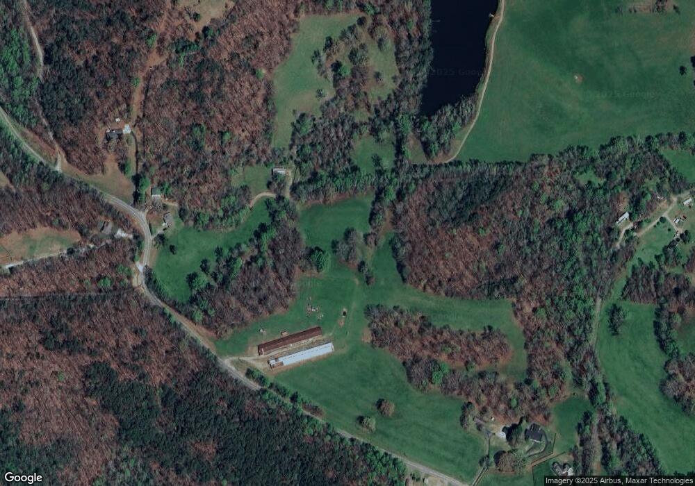
Map
Nearby Homes
- 265 Hound Dog Ln
- 1437 Porter Springs Rd
- 1036 Wards Creek Dr
- 124 Candy Man Ln
- 925 Horseshoe Bend Rd
- 34 Great Works Dr
- 134 Elkmont Dr
- 133 Elkmont Dr
- 180 Alonzo Cain Rd
- 0 Horseshoe Bend Rd Unit 10571975
- 0 Horseshoe Bend Rd Unit 7620338
- 200 Huntington Place
- 46 Deer Acres Dr
- 399 Ranch Mountain Dr
- 0 Ridley Rd Unit 7672007
- 0 Ridley Rd Unit 10632021
- 13 Hallmark Place
- 105 Ranch Mountain Ct
- 0 Yahoola Rd Unit 10535206
- 45 Marlie Seabolt Rd
- 445 McDonald Rd
- 0 Marlie Seabolt Rd Unit 3787142
- 0 Marlie Seabolt Rd Unit 4106046
- 183 McDonald Rd
- 444 McDonald Rd
- 175 McDonald Rd
- 185 McDonald Rd
- 233 Serendipity Rd
- 12 Serendipity Rd
- 454 Marlie Seabolt Rd
- 2385 Porter Springs Rd
- 0 McDonald Mill Unit 10099217
- 0 McDonald Mill
- 850 McDonald Rd
- 511 Marlie Seabolt Rd
- 648 Marlie Seabolt Rd
- 819 McDonald Rd
- 815 McDonald Rd
- 2755 Porter Springs Rd