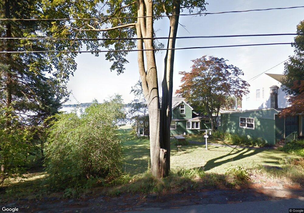
439 River Rd Eliot, ME 03903
South Eliot NeighborhoodEstimated Value: $448,000 - $524,000
3
Beds
2
Baths
1,074
Sq Ft
$450/Sq Ft
Est. Value
About This Home
This home is located at 439 River Rd, Eliot, ME 03903 and is currently estimated at $483,471, approximately $450 per square foot. 439 River Rd is a home located in York County with nearby schools including Marshwood High School and Seacoast Waldorf School.
Ownership History
Date
Name
Owned For
Owner Type
Purchase Details
Closed on
Oct 3, 2011
Sold by
Becker Denise J and Becker Dale R
Bought by
Hunter Adina and Hunter Mark
Current Estimated Value
Home Financials for this Owner
Home Financials are based on the most recent Mortgage that was taken out on this home.
Original Mortgage
$140,000
Outstanding Balance
$95,715
Interest Rate
4.15%
Mortgage Type
Purchase Money Mortgage
Estimated Equity
$387,756
Create a Home Valuation Report for This Property
The Home Valuation Report is an in-depth analysis detailing your home's value as well as a comparison with similar homes in the area
Home Values in the Area
Average Home Value in this Area
Purchase History
| Date | Buyer | Sale Price | Title Company |
|---|---|---|---|
| Hunter Adina | $175,000 | -- |
Source: Public Records
Mortgage History
| Date | Status | Borrower | Loan Amount |
|---|---|---|---|
| Open | Hunter Adina | $140,000 |
Source: Public Records
Tax History
| Year | Tax Paid | Tax Assessment Tax Assessment Total Assessment is a certain percentage of the fair market value that is determined by local assessors to be the total taxable value of land and additions on the property. | Land | Improvement |
|---|---|---|---|---|
| 2024 | $3,659 | $308,800 | $127,400 | $181,400 |
| 2023 | $3,545 | $289,400 | $121,600 | $167,800 |
| 2022 | $3,421 | $282,700 | $121,600 | $161,100 |
| 2021 | $3,586 | $265,600 | $111,900 | $153,700 |
| 2020 | $3,578 | $243,400 | $107,000 | $136,400 |
| 2019 | $3,578 | $243,400 | $107,000 | $136,400 |
| 2018 | $3,578 | $243,400 | $107,000 | $136,400 |
| 2017 | $3,545 | $247,900 | $107,000 | $140,900 |
| 2016 | $3,483 | $247,900 | $107,000 | $140,900 |
| 2015 | $3,471 | $247,900 | $107,000 | $140,900 |
| 2014 | $3,421 | $247,900 | $107,000 | $140,900 |
| 2013 | $3,265 | $247,900 | $107,000 | $140,900 |
Source: Public Records
Map
Nearby Homes
- 708 River Rd Unit 2
- 708 River Rd Unit 3
- 18 Governor Hill Rd
- 0 Cote Dr Unit 55B
- Slip B18 Little Bay
- 1708 State Rd
- 348 Dover Point Rd
- 354 Dover Point Rd
- 41 Clearwater Dr
- 18 Little Bay Dr
- 25 Fosters Dr
- 10 Pasture Hill Dr
- Lot 2 Cedar Tbd
- 71 Shipwright Way
- 10 Shipwright Way
- 0 Franks Fort Island Unit 1650383
- 25 Heritage Dr
- 69 Polly Ann Trailer Park
- 116 Heron Cove Rd
- 16 Polly Ann Park
- 493 River Rd
- 121 River Rd
- Lot 0 River Rd
- 500 River Rd
- 488 River Rd
- 5 Locust Ave
- 17 Hill Dr
- 126 River Rd
- 467 River Rd
- 15 Rogers Point Dr
- 12 Grandview Dr
- 0 Rogers Point Dr Unit 4056246
- 13 Rogers Pt Dr
- 0 Grandview Dr Unit 1456164
- 0 Rocky Point Rd
- TBD Rocky Point Rd
- 114 River Rd
- 511 River Rd
- 464 River Rd
- 7 Grandview Dr