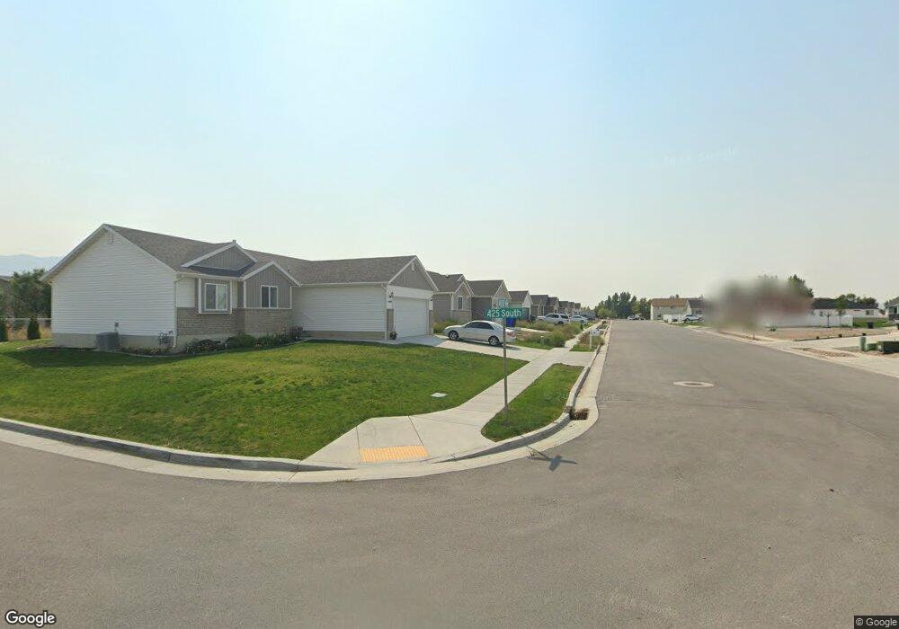
439 S 400 W Unit 77 Tremonton, UT 84337
Estimated Value: $408,000 - $474,000
--
Bed
--
Bath
--
Sq Ft
7,841
Sq Ft Lot
About This Home
This home is located at 439 S 400 W Unit 77, Tremonton, UT 84337 and is currently estimated at $432,500. 439 S 400 W Unit 77 is a home located in Box Elder County with nearby schools including McKinley School, Alice C. Harris Intermediate School, and Bear River Middle School.
Ownership History
Date
Name
Owned For
Owner Type
Purchase Details
Closed on
Jul 23, 2020
Sold by
Straatman Lane and Straatman Natalie
Bought by
Tolman Tysen Jaren
Current Estimated Value
Home Financials for this Owner
Home Financials are based on the most recent Mortgage that was taken out on this home.
Original Mortgage
$266,666
Outstanding Balance
$236,462
Interest Rate
3.1%
Mortgage Type
New Conventional
Estimated Equity
$196,038
Purchase Details
Closed on
Dec 19, 2018
Sold by
Straatman Natalie
Bought by
Straatman Lane and Straatman Natalie
Create a Home Valuation Report for This Property
The Home Valuation Report is an in-depth analysis detailing your home's value as well as a comparison with similar homes in the area
Home Values in the Area
Average Home Value in this Area
Purchase History
| Date | Buyer | Sale Price | Title Company |
|---|---|---|---|
| Tolman Tysen Jaren | -- | Heritage West Title Be | |
| Straatman Lane | -- | Northern Title Company | |
| Straatman Natalie | -- | Northern Title Company |
Source: Public Records
Mortgage History
| Date | Status | Borrower | Loan Amount |
|---|---|---|---|
| Open | Tolman Tysen Jaren | $266,666 |
Source: Public Records
Tax History Compared to Growth
Tax History
| Year | Tax Paid | Tax Assessment Tax Assessment Total Assessment is a certain percentage of the fair market value that is determined by local assessors to be the total taxable value of land and additions on the property. | Land | Improvement |
|---|---|---|---|---|
| 2025 | $2,389 | $418,890 | $115,000 | $303,890 |
| 2024 | $2,389 | $413,714 | $115,000 | $298,714 |
| 2023 | $2,412 | $410,017 | $110,000 | $300,017 |
| 2022 | $2,210 | $214,293 | $22,000 | $192,293 |
| 2021 | $1,748 | $40,000 | $40,000 | $0 |
| 2020 | $472 | $40,000 | $40,000 | $0 |
| 2019 | $487 | $40,000 | $40,000 | $0 |
Source: Public Records
Map
Nearby Homes
- 447 S 400 W Unit 78
- 447 S 400 W
- 429 S 400 W Unit 76
- 429 S 400 W
- 442 S 400 W
- 473 S 400 W Unit 79
- 473 S 400 W
- 408 W 450 S Unit 95
- 436 S 400 W Unit 96
- 436 S 400 W
- 424 S 400 W Unit 97
- 424 S 400 W
- 413 W 450 S Unit 91
- 497 S 400 W Unit 80
- 497 S 400 W
- 422 W 450 S Unit 94
- 422 W 450 S
- 494 S 400 W
- 408 S 400 W Unit 98
- 408 S 400 W