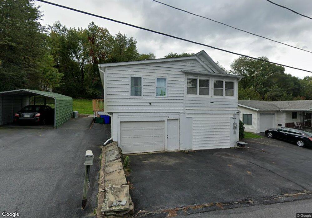
439 Simpson St Dupont, PA 18641
Estimated Value: $143,000 - $154,000
2
Beds
1
Bath
1,100
Sq Ft
$134/Sq Ft
Est. Value
About This Home
This home is located at 439 Simpson St, Dupont, PA 18641 and is currently estimated at $146,951, approximately $133 per square foot. 439 Simpson St is a home located in Luzerne County with nearby schools including Pittston City Intermediate Center, Pittston Area Middle School, and Frederick County Middle School.
Ownership History
Date
Name
Owned For
Owner Type
Purchase Details
Closed on
Sep 12, 2022
Sold by
Jeffery Cieslak
Bought by
Bloom Karen
Current Estimated Value
Home Financials for this Owner
Home Financials are based on the most recent Mortgage that was taken out on this home.
Original Mortgage
$100,000
Outstanding Balance
$95,336
Interest Rate
4.99%
Mortgage Type
Balloon
Estimated Equity
$51,615
Purchase Details
Closed on
Apr 8, 2010
Sold by
Legezdh George and Faust Mari Ann
Bought by
Cieslak Jeffery
Home Financials for this Owner
Home Financials are based on the most recent Mortgage that was taken out on this home.
Original Mortgage
$57,931
Interest Rate
5.25%
Mortgage Type
FHA
Create a Home Valuation Report for This Property
The Home Valuation Report is an in-depth analysis detailing your home's value as well as a comparison with similar homes in the area
Home Values in the Area
Average Home Value in this Area
Purchase History
| Date | Buyer | Sale Price | Title Company |
|---|---|---|---|
| Bloom Karen | $115,000 | -- | |
| Cieslak Jeffery | $59,000 | None Available |
Source: Public Records
Mortgage History
| Date | Status | Borrower | Loan Amount |
|---|---|---|---|
| Open | Bloom Karen | $100,000 | |
| Previous Owner | Cieslak Jeffery | $57,931 |
Source: Public Records
Tax History Compared to Growth
Tax History
| Year | Tax Paid | Tax Assessment Tax Assessment Total Assessment is a certain percentage of the fair market value that is determined by local assessors to be the total taxable value of land and additions on the property. | Land | Improvement |
|---|---|---|---|---|
| 2025 | $1,507 | $61,200 | $22,100 | $39,100 |
| 2024 | $1,507 | $61,200 | $22,100 | $39,100 |
| 2023 | $1,507 | $61,200 | $22,100 | $39,100 |
| 2022 | $1,495 | $61,200 | $22,100 | $39,100 |
| 2021 | $1,495 | $61,200 | $22,100 | $39,100 |
| 2020 | $1,461 | $61,200 | $22,100 | $39,100 |
| 2019 | $1,449 | $61,200 | $22,100 | $39,100 |
| 2018 | $1,419 | $61,200 | $22,100 | $39,100 |
| 2017 | $1,357 | $61,200 | $22,100 | $39,100 |
| 2016 | -- | $61,200 | $22,100 | $39,100 |
| 2015 | $1,197 | $61,200 | $22,100 | $39,100 |
| 2014 | $1,197 | $61,200 | $22,100 | $39,100 |
Source: Public Records
Map
Nearby Homes
- 443 Simpson St
- 429 Simpson St
- 447 Simpson St
- 438 Simpson St
- 434 Simpson St
- 427 Simpson St
- 430 Simpson St
- 449 Simpson St
- 424 Simpson St
- 419 Simpson St
- 420 Simpson St
- 427 Mclean St
- 402 Simpson St
- 407 Simpson St
- 419 Mclean St Unit 21
- 413 Mclean St
- 400 Simpson St
- 401 Simpson St
- 409 Mclean St
- 450 Stanton St