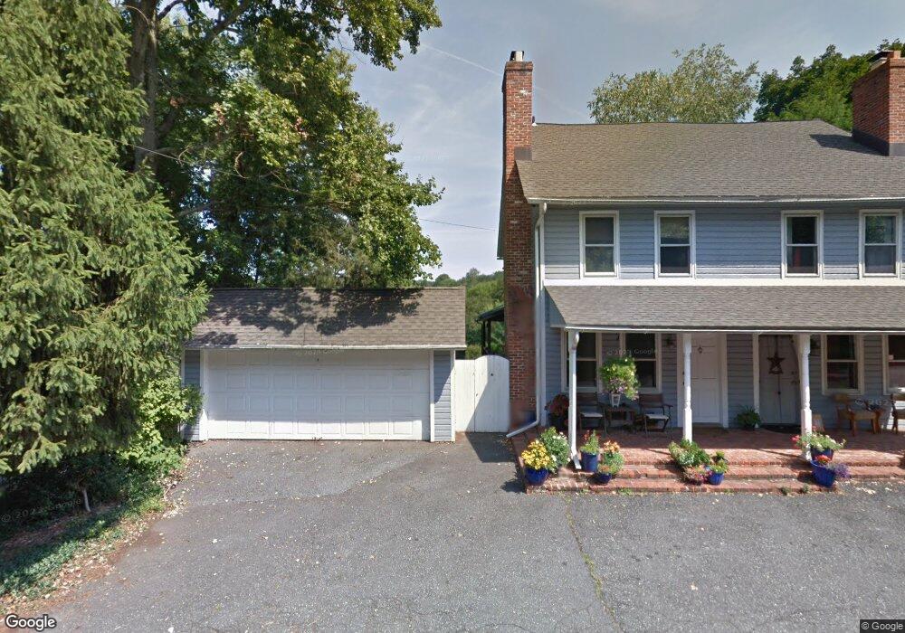
439 Upper Snuff Mill Row Unit RW Hockessin, DE 19707
Ashland NeighborhoodEstimated Value: $351,000 - $464,000
2
Beds
2
Baths
1,152
Sq Ft
$366/Sq Ft
Est. Value
About This Home
This home is located at 439 Upper Snuff Mill Row Unit RW, Hockessin, DE 19707 and is currently estimated at $421,230, approximately $365 per square foot. 439 Upper Snuff Mill Row Unit RW is a home located in New Castle County with nearby schools including Alexis I. du Pont Middle School, Alexis I. du Pont High School, and Hockessin Montessori School.
Ownership History
Date
Name
Owned For
Owner Type
Purchase Details
Closed on
Oct 14, 2022
Sold by
Allen Angela
Bought by
Allen Family Trust
Current Estimated Value
Purchase Details
Closed on
Jul 14, 2021
Sold by
Vaughan Nadine L
Bought by
Allen Angela
Home Financials for this Owner
Home Financials are based on the most recent Mortgage that was taken out on this home.
Original Mortgage
$285,000
Interest Rate
2.96%
Mortgage Type
New Conventional
Purchase Details
Closed on
Apr 28, 2006
Sold by
Wagner Stephen C and Wagner Sheeler B
Bought by
Vaughan Nadine L
Home Financials for this Owner
Home Financials are based on the most recent Mortgage that was taken out on this home.
Original Mortgage
$267,920
Interest Rate
6.4%
Mortgage Type
Fannie Mae Freddie Mac
Create a Home Valuation Report for This Property
The Home Valuation Report is an in-depth analysis detailing your home's value as well as a comparison with similar homes in the area
Home Values in the Area
Average Home Value in this Area
Purchase History
| Date | Buyer | Sale Price | Title Company |
|---|---|---|---|
| Allen Family Trust | -- | -- | |
| Allen Angela | -- | None Available | |
| Vaughan Nadine L | $334,900 | None Available |
Source: Public Records
Mortgage History
| Date | Status | Borrower | Loan Amount |
|---|---|---|---|
| Previous Owner | Allen Angela | $285,000 | |
| Previous Owner | Vaughan Nadine L | $267,920 |
Source: Public Records
Tax History
| Year | Tax Paid | Tax Assessment Tax Assessment Total Assessment is a certain percentage of the fair market value that is determined by local assessors to be the total taxable value of land and additions on the property. | Land | Improvement |
|---|---|---|---|---|
| 2024 | $3,277 | $88,700 | $9,000 | $79,700 |
| 2023 | $2,891 | $88,700 | $9,000 | $79,700 |
| 2022 | $2,926 | $88,700 | $9,000 | $79,700 |
| 2021 | $2,925 | $88,700 | $9,000 | $79,700 |
| 2020 | $2,935 | $88,700 | $9,000 | $79,700 |
| 2019 | $2,930 | $88,700 | $9,000 | $79,700 |
| 2018 | $2,872 | $88,700 | $9,000 | $79,700 |
| 2017 | $2,709 | $88,700 | $9,000 | $79,700 |
| 2016 | $2,709 | $88,700 | $9,000 | $79,700 |
| 2015 | $2,539 | $88,700 | $9,000 | $79,700 |
| 2014 | $2,349 | $88,700 | $9,000 | $79,700 |
Source: Public Records
Map
Nearby Homes
- 12 Larchmont Ct
- 11 Yorkridge Trail
- 10 Yorkridge Trail
- 747 Morris Rd
- 707 Pine Ridge Ln
- 2 Farron Dr
- 988 Sharpless Rd
- 1075 Yorklyn Rd
- 47 Clifton Dr
- 304 Bartram Ln E
- 0 Old Kennett Rd
- 403 Woodale Dr
- 2160 Brackenville Rd
- 112 Cameron Dr
- 105 Bellfield Ct
- 100 Pennfield Dr
- 200 Fulling Dr
- 408 Willowbend Ct
- 107 Walnut Ridge Rd
- 9 Walnut Ridge Rd
- 445 Upper Snuff Mill Row Unit RW
- 445 Upper Snuff Mill Row
- 447 Upper Snuff Mill Row Unit RW
- 441 Upper Snuff Mill Row Unit RW
- 435 Upper Snuff Mill Row Unit RW
- 433 Upper Snuff Mill Row Unit RW
- 423 Upper Snuff Mill Row Unit RW
- 559 Dawson Track
- 555 Dawson Track
- 549 Dawson Track
- 543 Dawson Track
- 567 Dawson Track
- 537 Dawson Tract
- 204 Stone Row Unit RW
- 228 Stone Row Unit RW
- 230 Stone Row Unit RW
- 230 Stone Row
- 236 Stone Row Unit RW
- 236 Stone Row
- 246 Stone Row Unit RW
Your Personal Tour Guide
Ask me questions while you tour the home.