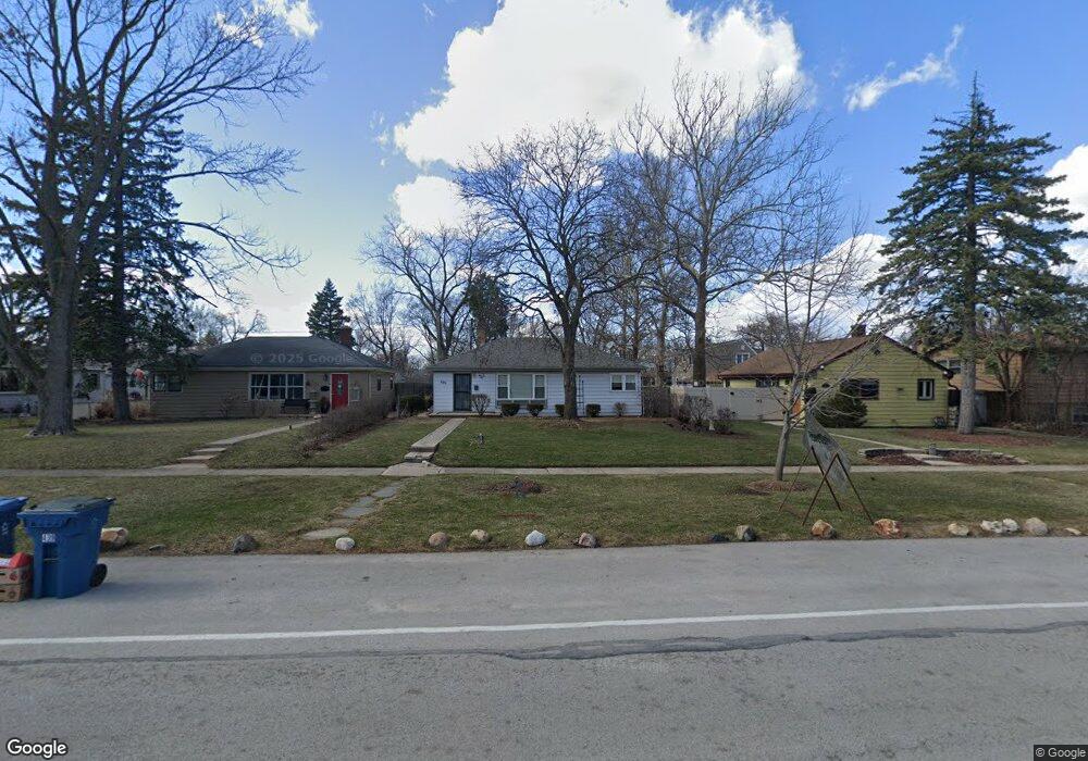
439 W Butterfield Rd Elmhurst, IL 60126
Estimated Value: $291,181 - $409,000
--
Bed
--
Bath
912
Sq Ft
$377/Sq Ft
Est. Value
About This Home
This home is located at 439 W Butterfield Rd, Elmhurst, IL 60126 and is currently estimated at $343,795, approximately $376 per square foot. 439 W Butterfield Rd is a home located in DuPage County with nearby schools including Salt Creek Elementary School, Stella May Swartz Elementary School, and John E Albright Middle School.
Ownership History
Date
Name
Owned For
Owner Type
Purchase Details
Closed on
May 6, 1996
Sold by
Kash Richard M and Kash Mary
Bought by
Osullivan Paul E
Current Estimated Value
Home Financials for this Owner
Home Financials are based on the most recent Mortgage that was taken out on this home.
Original Mortgage
$48,000
Interest Rate
7.86%
Mortgage Type
Purchase Money Mortgage
Purchase Details
Closed on
Apr 24, 1989
Sold by
Kash William O
Bought by
Kash Kenneth C and Kash Richard M
Purchase Details
Closed on
Apr 7, 1989
Sold by
Kash Ronald P and Kash Leslie
Bought by
Kash Kenneth C and Kash Richard M
Create a Home Valuation Report for This Property
The Home Valuation Report is an in-depth analysis detailing your home's value as well as a comparison with similar homes in the area
Home Values in the Area
Average Home Value in this Area
Purchase History
| Date | Buyer | Sale Price | Title Company |
|---|---|---|---|
| Osullivan Paul E | $60,000 | -- | |
| Kash Kenneth C | $10,000 | -- | |
| Kash Kenneth C | $10,000 | -- | |
| Kash Kenneth C | $10,000 | -- |
Source: Public Records
Mortgage History
| Date | Status | Borrower | Loan Amount |
|---|---|---|---|
| Closed | Osullivan Paul E | $48,000 |
Source: Public Records
Tax History Compared to Growth
Tax History
| Year | Tax Paid | Tax Assessment Tax Assessment Total Assessment is a certain percentage of the fair market value that is determined by local assessors to be the total taxable value of land and additions on the property. | Land | Improvement |
|---|---|---|---|---|
| 2024 | $4,428 | $81,808 | $24,818 | $56,990 |
| 2023 | $3,817 | $75,650 | $22,950 | $52,700 |
| 2022 | $3,609 | $72,720 | $22,060 | $50,660 |
| 2021 | $3,677 | $70,910 | $21,510 | $49,400 |
| 2020 | $3,642 | $69,360 | $21,040 | $48,320 |
| 2019 | $3,509 | $65,940 | $20,000 | $45,940 |
| 2018 | $3,454 | $63,190 | $18,940 | $44,250 |
| 2017 | $3,410 | $60,220 | $18,050 | $42,170 |
| 2016 | $3,223 | $56,730 | $17,000 | $39,730 |
| 2015 | $3,191 | $52,850 | $15,840 | $37,010 |
| 2014 | $3,594 | $56,750 | $13,010 | $43,740 |
| 2013 | $3,554 | $57,550 | $13,190 | $44,360 |
Source: Public Records
Map
Nearby Homes
- 1S045 Spring Rd Unit 1D
- 1S150 Spring Rd Unit 5B
- 1S150 Spring Rd Unit 4L
- 2 S Atrium Way Unit 203
- 3 Oak Brook Club Dr Unit E207
- 274 Timber View Dr
- 130 Crab Apple Ln
- 1200 S Prospect Ave Unit 303
- 1200 S Prospect Ave Unit 108
- 1 Oak Brook Club Dr Unit A301
- 1 Oak Brook Club Dr Unit A312
- 995 S Swain Ave
- 963 S Saylor Ave
- 175 W Brush Hill Rd Unit 404
- 1046 E Van Buren St
- 936 S Mitchell Ave
- 625 E Van Buren St
- 110 W Butterfield Rd Unit 502S
- 814 S Saylor Ave
- 805 S Spring Rd
- 435 W Butterfield Rd
- 443 W Butterfield Rd
- 382 W Avery St
- 447 W Butterfield Rd
- 390 W Avery St
- 394 W Avery St
- 451 W Butterfield Rd
- 413 W Verret St
- 417 W Verret St
- 423 W Butterfield Rd
- 398 W Avery St
- 419 W Butterfield Rd
- 402 W Avery St
- 389 W Avery St
- 425 W Verret St
- 393 W Avery St
- 397 W Avery St
- 414 W Verret St
- 415 W Butterfield Rd
- 429 W Verret St