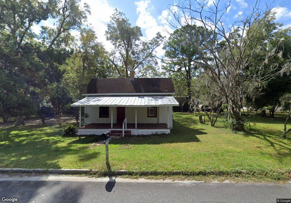
439 W Waring St Waycross, GA 31503
Estimated Value: $92,000 - $121,000
2
Beds
1
Bath
990
Sq Ft
$101/Sq Ft
Est. Value
About This Home
This home is located at 439 W Waring St, Waycross, GA 31503 and is currently estimated at $99,923, approximately $100 per square foot. 439 W Waring St is a home located in Ware County with nearby schools including Wacona Elementary School, Ware County Middle School, and Ware County High School.
Ownership History
Date
Name
Owned For
Owner Type
Purchase Details
Closed on
May 30, 2025
Sold by
Branson Rental Propertis Llc
Bought by
Dunder Mifflin Rentals Llc
Current Estimated Value
Purchase Details
Closed on
Oct 6, 2022
Sold by
Arnold Marietta
Bought by
Branson Rental Properties Llc
Home Financials for this Owner
Home Financials are based on the most recent Mortgage that was taken out on this home.
Original Mortgage
$40,000
Interest Rate
5.89%
Mortgage Type
New Conventional
Purchase Details
Closed on
Jul 11, 2022
Sold by
Arnold James Huey
Bought by
Arnold Marietta Bennett
Purchase Details
Closed on
Oct 22, 1998
Sold by
Johns Ethel D
Bought by
Arnold Huey and Arnold Mariet
Create a Home Valuation Report for This Property
The Home Valuation Report is an in-depth analysis detailing your home's value as well as a comparison with similar homes in the area
Home Values in the Area
Average Home Value in this Area
Purchase History
| Date | Buyer | Sale Price | Title Company |
|---|---|---|---|
| Dunder Mifflin Rentals Llc | $105,000 | -- | |
| Branson Rental Properties Llc | $49,000 | -- | |
| Arnold Marietta Bennett | -- | -- | |
| Arnold Huey | $8,800 | -- |
Source: Public Records
Mortgage History
| Date | Status | Borrower | Loan Amount |
|---|---|---|---|
| Previous Owner | Branson Rental Properties Llc | $40,000 |
Source: Public Records
Tax History Compared to Growth
Tax History
| Year | Tax Paid | Tax Assessment Tax Assessment Total Assessment is a certain percentage of the fair market value that is determined by local assessors to be the total taxable value of land and additions on the property. | Land | Improvement |
|---|---|---|---|---|
| 2024 | $650 | $23,770 | $1,796 | $21,974 |
| 2023 | $612 | $17,384 | $1,184 | $16,200 |
| 2022 | $502 | $17,384 | $1,184 | $16,200 |
| 2021 | $381 | $12,134 | $1,184 | $10,950 |
| 2020 | $320 | $10,090 | $1,184 | $8,906 |
| 2019 | $314 | $9,725 | $1,184 | $8,541 |
| 2018 | $317 | $9,725 | $1,184 | $8,541 |
| 2017 | $334 | $10,234 | $1,184 | $9,050 |
| 2016 | $334 | $10,234 | $1,184 | $9,050 |
| 2015 | $337 | $10,234 | $1,184 | $9,050 |
| 2014 | $336 | $10,234 | $1,184 | $9,050 |
| 2013 | -- | $10,234 | $1,184 | $9,050 |
Source: Public Records
Map
Nearby Homes
- 1953 State St
- 2066 Cherokee St
- 221 Sierra Ln
- 2117 Tamara Rd
- 2869 Ben St
- 121 Union St
- 122 Hopkins St
- 2879 Ben St
- 2350 Edgewood St
- 2885 Ben St
- Lot 155 N Augusta Avenue Cherokee Ave
- 110 Briarwood Rd
- 135 Morgan St
- 109 Hebard St
- 220 E Blackshear Ave
- 1210 N Augusta Ave
- 1300 Stanton Ave
- Tract 2,3 Stetson Dr
- 0 Fluker St
- 0000 Lejune Rd