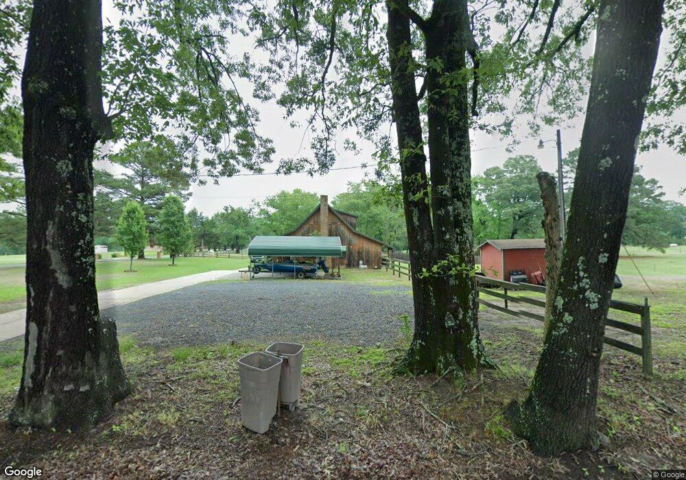
439 White Rd W Texarkana, TX 75503
Estimated Value: $208,063 - $271,000
--
Bed
--
Bath
1,448
Sq Ft
$162/Sq Ft
Est. Value
About This Home
This home is located at 439 White Rd W, Texarkana, TX 75503 and is currently estimated at $235,016, approximately $162 per square foot. 439 White Rd W is a home located in Bowie County with nearby schools including Red Lick Elementary School and Red Lick Middle School.
Ownership History
Date
Name
Owned For
Owner Type
Purchase Details
Closed on
Mar 19, 2008
Sold by
Briggs Bonnie S
Bought by
White Cory W and White Melodie L
Current Estimated Value
Home Financials for this Owner
Home Financials are based on the most recent Mortgage that was taken out on this home.
Original Mortgage
$137,887
Outstanding Balance
$87,593
Interest Rate
6.11%
Mortgage Type
FHA
Estimated Equity
$147,423
Create a Home Valuation Report for This Property
The Home Valuation Report is an in-depth analysis detailing your home's value as well as a comparison with similar homes in the area
Home Values in the Area
Average Home Value in this Area
Purchase History
| Date | Buyer | Sale Price | Title Company |
|---|---|---|---|
| White Cory W | -- | None Available |
Source: Public Records
Mortgage History
| Date | Status | Borrower | Loan Amount |
|---|---|---|---|
| Open | White Cory W | $137,887 |
Source: Public Records
Tax History Compared to Growth
Tax History
| Year | Tax Paid | Tax Assessment Tax Assessment Total Assessment is a certain percentage of the fair market value that is determined by local assessors to be the total taxable value of land and additions on the property. | Land | Improvement |
|---|---|---|---|---|
| 2025 | $1,587 | $180,634 | $19,000 | $161,634 |
| 2024 | $1,587 | $170,828 | $19,000 | $151,828 |
| 2023 | $2,669 | $162,203 | $0 | $0 |
| 2022 | $2,479 | $149,910 | $19,000 | $130,910 |
| 2021 | $2,362 | $134,052 | $19,000 | $115,052 |
| 2020 | $2,305 | $129,457 | $19,000 | $110,457 |
| 2019 | $2,324 | $126,285 | $19,000 | $107,285 |
| 2018 | $2,537 | $137,849 | $19,000 | $118,849 |
| 2017 | $2,481 | $135,899 | $19,000 | $116,899 |
| 2016 | $2,421 | $132,581 | $18,500 | $114,081 |
| 2015 | $2,097 | $137,231 | $23,500 | $113,731 |
| 2014 | $2,097 | $136,312 | $23,500 | $112,812 |
Source: Public Records
Map
Nearby Homes
- 3201 Jason Ln
- 24 Silver Hill Dr
- 18 Country Ln
- 193 Bronco Dr
- 185 Bronco Dr
- 52 Chesterfield Cir
- 8820 W New Boston Rd
- 23 Steeple View
- 50 Beaver Lake Dr
- TBD Noah Ave
- 0 Ava Ln
- 437 Beaver Lake Dr
- 38 King Rd
- 262 Beaver Creek Run
- 8163 Coyote Trail
- 781 Beaver Lake Dr
- 14 Lone Star Pkwy
- 1 Beaver Creek Run
- 1067 Beaver Lake Dr
- 1243 Beaver Lake Dr
- 451 White Rd
- 1324 Earnest Rd
- 389 White Rd W
- 1230 Earnest Rd
- 1344 Earnest Rd
- 1270 Earnest Rd
- 359 White Rd W
- 1178 Earnest Rd
- 346 White Rd W
- 1217 Earnest Rd
- 1450 Earnest Rd
- 1467 Earnest Rd
- 1141 Earnest Rd
- 299 White Rd W
- 235 White Rd W
- 1102 Earnest Rd
- 1074 Earnest Rd
- 190 White Rd W
- 1032 Earnest Rd
- 43 Petty Page Dr