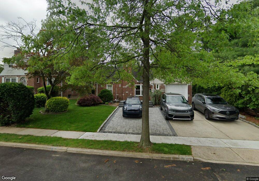
439 Wilson St West Hempstead, NY 11552
Estimated Value: $790,000 - $810,911
4
Beds
3
Baths
1,412
Sq Ft
$567/Sq Ft
Est. Value
About This Home
This home is located at 439 Wilson St, West Hempstead, NY 11552 and is currently estimated at $800,456, approximately $566 per square foot. 439 Wilson St is a home located in Nassau County with nearby schools including Chestnut Street School, West Hempstead Secondary School, and Hebrew Academy of Nassau County (HANC).
Ownership History
Date
Name
Owned For
Owner Type
Purchase Details
Closed on
Jul 15, 2021
Sold by
Grgas Vladimir and Carollo Maryana
Bought by
Yiu Patrick T F and Ni Mae
Current Estimated Value
Home Financials for this Owner
Home Financials are based on the most recent Mortgage that was taken out on this home.
Original Mortgage
$334,100
Outstanding Balance
$303,605
Interest Rate
3%
Mortgage Type
New Conventional
Estimated Equity
$496,851
Purchase Details
Closed on
Mar 5, 2012
Sold by
Grgas Vladimir
Bought by
Carollo Maryana
Purchase Details
Closed on
May 21, 2004
Sold by
Citera John
Bought by
Grgas Vladimir
Purchase Details
Closed on
Jan 19, 1998
Create a Home Valuation Report for This Property
The Home Valuation Report is an in-depth analysis detailing your home's value as well as a comparison with similar homes in the area
Home Values in the Area
Average Home Value in this Area
Purchase History
| Date | Buyer | Sale Price | Title Company |
|---|---|---|---|
| Yiu Patrick T F | $655,000 | Judicial Title | |
| Carollo Maryana | -- | -- | |
| Grgas Vladimir | $335,500 | -- | |
| -- | -- | -- |
Source: Public Records
Mortgage History
| Date | Status | Borrower | Loan Amount |
|---|---|---|---|
| Open | Yiu Patrick T F | $334,100 |
Source: Public Records
Tax History Compared to Growth
Tax History
| Year | Tax Paid | Tax Assessment Tax Assessment Total Assessment is a certain percentage of the fair market value that is determined by local assessors to be the total taxable value of land and additions on the property. | Land | Improvement |
|---|---|---|---|---|
| 2025 | $13,940 | $489 | $257 | $232 |
| 2024 | $4,568 | $489 | $257 | $232 |
| 2023 | $13,736 | $489 | $257 | $232 |
| 2022 | $13,736 | $489 | $257 | $232 |
| 2021 | $17,160 | $467 | $245 | $222 |
| 2020 | $13,859 | $823 | $524 | $299 |
| 2019 | $4,633 | $823 | $524 | $299 |
| 2018 | $8,303 | $823 | $0 | $0 |
| 2017 | $7,397 | $823 | $524 | $299 |
| 2016 | $11,507 | $823 | $524 | $299 |
| 2015 | $3,833 | $823 | $524 | $299 |
| 2014 | $3,833 | $823 | $524 | $299 |
| 2013 | $3,589 | $823 | $524 | $299 |
Source: Public Records
Map
Nearby Homes
- 126 Oakland Ave
- 474 Roy St
- 72 Spruce St
- 594 Fenworth Blvd
- 198 Guildford Ct
- 303 Nassau Blvd
- 106 Sycamore St
- 149 Rule St
- 352 Hempstead Ave
- 19 Richard St
- 26 Sycamore St
- 218 Colony St
- 231 Dogwood Ave
- 537 Madison Ave
- 89 Osborne Rd
- 350 Paul Place
- 279 Semton Blvd
- 590 Langley Ave
- 87 Elton St
- 576 Western Park Dr