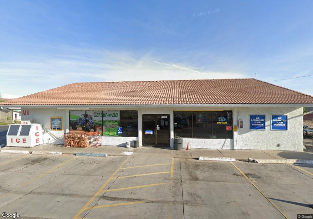
4390 W State St Hurricane, UT 84737
Estimated Value: $264,000
Studio
--
Bath
2,728
Sq Ft
$97/Sq Ft
Est. Value
About This Home
This home is located at 4390 W State St, Hurricane, UT 84737 and is currently priced at $264,000, approximately $96 per square foot. 4390 W State St is a home located in Washington County with nearby schools including Coral Canyon School, Hurricane High School, and Hurricane Middle School.
Ownership History
Date
Name
Owned For
Owner Type
Purchase Details
Closed on
Jun 4, 2021
Sold by
Tervort Investments Llc
Bought by
Tervort Investments Lc
Current Estimated Value
Purchase Details
Closed on
Sep 16, 2019
Sold by
Tooke Mills Gary
Bought by
Tervort Investments Llc
Purchase Details
Closed on
Aug 5, 2019
Sold by
Tervort Investments Lc
Bought by
Tooke Mills Gary
Purchase Details
Closed on
Feb 7, 2019
Sold by
Tervort Investments Lc
Bought by
Tooke Mills Gary
Purchase Details
Closed on
Sep 24, 2009
Sold by
Federal National Mortgage Association
Bought by
Anglin Mary Geissler
Purchase Details
Closed on
May 23, 2007
Sold by
Behunin Terry and Behunin Melanie
Bought by
Meyer Michael J and Meyer Jeri
Home Financials for this Owner
Home Financials are based on the most recent Mortgage that was taken out on this home.
Original Mortgage
$170,000
Interest Rate
6.18%
Mortgage Type
Purchase Money Mortgage
Create a Home Valuation Report for This Property
The Home Valuation Report is an in-depth analysis detailing your home's value as well as a comparison with similar homes in the area
Purchase History
| Date | Buyer | Sale Price | Title Company |
|---|---|---|---|
| Tervort Investments Lc | -- | None Available | |
| Tervort Investments Llc | -- | Dixie Title Co | |
| Tooke Mills Gary | -- | Dixie Title Co | |
| Tooke Mills Gary | -- | None Available | |
| Anglin Mary Geissler | -- | Southern Utah Title | |
| Meyer Michael J | -- | Southern Utah Title Co |
Source: Public Records
Mortgage History
| Date | Status | Borrower | Loan Amount |
|---|---|---|---|
| Previous Owner | Meyer Michael J | $170,000 |
Source: Public Records
Tax History
| Year | Tax Paid | Tax Assessment Tax Assessment Total Assessment is a certain percentage of the fair market value that is determined by local assessors to be the total taxable value of land and additions on the property. | Land | Improvement |
|---|---|---|---|---|
| 2021 | $3,561 | $364,000 | $109,600 | $254,400 |
| 2020 | $3,660 | $349,700 | $106,400 | $243,300 |
| 2019 | $3,572 | $331,100 | $98,800 | $232,300 |
| 2018 | $3,948 | $329,200 | $0 | $0 |
| 2017 | $3,243 | $270,400 | $0 | $0 |
| 2016 | $3,374 | $273,600 | $0 | $0 |
| 2015 | $3,374 | $262,500 | $0 | $0 |
| 2014 | $2,510 | $203,100 | $0 | $0 |
Source: Public Records
Map
Nearby Homes
- 4400 W State St Unit 74
- 4400 W State St Unit 113
- Corner of Sand Hollow Rd & Bash Pkwy
- 3929 W 40 N
- 5.18 Acres Along Sand Hollow Rd
- 73 N 3950 W
- 99 N 3950 W
- 4042 W 1440 S Unit Lot 2
- 4042 W 1440 S
- 36 N 3880 W
- 3871 W 20 N
- 39 N 3850 W
- 102 N 3910 W
- 4044 W 1440 S Unit Lot 1
- 3796 S 1440 W
- 3829 W 20 N
- 4308 Cambridge Pkwy N
- 3900 W 120 N
- 1502 S 4040 W Unit (Lot 2)
- 3886 W 1440 S
- 65 Quail Creek Dr
- 65 Quail Creek Dr Unit 65
- 65 Quail Creek Dr Unit 1
- 63A Pheasant Dr
- 63 Pheasant Dr
- 63A Pheasant Dr Unit 63a
- 63 Pheasant Dr Unit 1
- 58 Quail Creek Dr
- 58 Quail Creek Dr Unit 58
- 72A Quail Creek Dr Unit 72
- 66A Quail Creek Dr
- 67A Partridge Cir
- 67 Partridge Cir
- 67 Partridge Cir Unit 1
- 67 Partridge Cir Unit 67A
- 67A Partridge Cir
- 68 Partridge Cir Unit 68 &
- 68 Partridge Cir
- 68 (67 68 68a) Partridge Cir
- 68 Partridge Cir
Your Personal Tour Guide
Ask me questions while you tour the home.