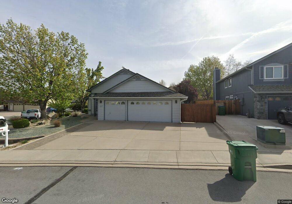
4391 Garratt Cir Sparks, NV 89436
Los Altos Parkway NeighborhoodEstimated Value: $540,000 - $572,000
4
Beds
2
Baths
1,811
Sq Ft
$307/Sq Ft
Est. Value
About This Home
This home is located at 4391 Garratt Cir, Sparks, NV 89436 and is currently estimated at $555,082, approximately $306 per square foot. 4391 Garratt Cir is a home located in Washoe County with nearby schools including Bud Beasley Elementary School, Lou Mendive Middle School, and Edward C Reed High School.
Ownership History
Date
Name
Owned For
Owner Type
Purchase Details
Closed on
Apr 23, 2012
Sold by
Glock Donald and Glock Linda L
Bought by
Glock Donald J and Glock Linda L
Current Estimated Value
Purchase Details
Closed on
Jun 4, 2002
Sold by
Naugle Theodore L and Naugle Linda K
Bought by
Glock Donald and Glock Linda L
Purchase Details
Closed on
Feb 19, 2002
Sold by
Naugle Theodore L and Naugle Linda K
Bought by
Naugle Theodore L and Naugle Linda K
Purchase Details
Closed on
Oct 23, 1995
Sold by
Quilici Brent E and Quilici Lisa A
Bought by
Naugle Theodore L and Naugle Linda K
Create a Home Valuation Report for This Property
The Home Valuation Report is an in-depth analysis detailing your home's value as well as a comparison with similar homes in the area
Home Values in the Area
Average Home Value in this Area
Purchase History
| Date | Buyer | Sale Price | Title Company |
|---|---|---|---|
| Glock Donald J | -- | None Available | |
| Glock Donald | $221,500 | First American Title | |
| Naugle Theodore L | $190,000 | -- | |
| Naugle Theodore L | $165,000 | First Centennial Title Co |
Source: Public Records
Tax History Compared to Growth
Tax History
| Year | Tax Paid | Tax Assessment Tax Assessment Total Assessment is a certain percentage of the fair market value that is determined by local assessors to be the total taxable value of land and additions on the property. | Land | Improvement |
|---|---|---|---|---|
| 2025 | $2,546 | $99,051 | $38,304 | $60,747 |
| 2024 | $2,546 | $96,362 | $36,068 | $60,295 |
| 2023 | $2,473 | $92,220 | $34,839 | $57,381 |
| 2022 | $2,407 | $77,668 | $29,547 | $48,121 |
| 2021 | $2,337 | $69,665 | $21,452 | $48,213 |
| 2020 | $2,268 | $70,022 | $21,420 | $48,602 |
| 2019 | $2,253 | $69,356 | $21,924 | $47,432 |
| 2018 | $2,187 | $62,714 | $16,002 | $46,712 |
| 2017 | $2,124 | $61,835 | $14,805 | $47,030 |
| 2016 | $2,070 | $62,318 | $13,073 | $49,245 |
| 2015 | $2,066 | $61,212 | $11,592 | $49,620 |
| 2014 | $2,007 | $57,967 | $9,797 | $48,170 |
| 2013 | -- | $53,310 | $8,479 | $44,831 |
Source: Public Records
Map
Nearby Homes
- 4515 Whitney Cir
- 1357 Silver View Cir
- 4788 Ravello Dr
- 1484 Serendipity Ct
- 4748 Pradera St
- 4675 Firtree Ln
- 1550 Istrice Rd
- 1557 Satellite Dr
- 4393 Acobat Ct
- 1215 Ebling Dr
- 1475 Golddust Dr
- 3988 Ella Jayne Ct Unit Lot 6
- 1560 Freeman Way
- 4950 San Diego Ct
- 1685 Southview Dr
- 1304 Lambrusca Dr
- 1388 Lambrays Ln
- 4750 Desert Song Ct
- 5105 Santa Anita Dr
- 5049 Keams Ct
- 4389 Garratt Cir
- 4393 Garratt Ct
- 4387 Garratt Cir
- 4395 Garratt Ct
- 4394 Garratt Cir
- 4388 Garratt Cir
- 4397 Garratt Ct
- 4399 Garratt Ct
- 4385 Garratt Cir
- 4399 Garratt Ct
- 4398 Garratt Cir
- 4399 Garratt Cir
- 4523 Mount Bachelor Dr
- 4384 Garratt Cir
- 4519 Mount Bachelor Dr
- 4527 Mount Bachelor Dr
- 4401 Garratt Cir
- 4402 Garratt Cir
- 4515 Mount Bachelor Dr
- 4383 Garratt Cir