4393 N 635 W Huntington, IN 46750
Estimated Value: $233,000 - $244,000
3
Beds
2
Baths
1,734
Sq Ft
$138/Sq Ft
Est. Value
About This Home
This home is located at 4393 N 635 W, Huntington, IN 46750 and is currently estimated at $238,914, approximately $137 per square foot. 4393 N 635 W is a home located in Huntington County with nearby schools including Andrews Elementary School, Riverview Middle School, and Huntington North High School.
Ownership History
Date
Name
Owned For
Owner Type
Purchase Details
Closed on
Apr 20, 2016
Sold by
Bartoo Andrew M
Bought by
Bartoo Andrew M and Bartoo Paula Beth
Current Estimated Value
Home Financials for this Owner
Home Financials are based on the most recent Mortgage that was taken out on this home.
Original Mortgage
$101,500
Outstanding Balance
$44,485
Interest Rate
3.71%
Mortgage Type
New Conventional
Estimated Equity
$194,429
Purchase Details
Closed on
Jan 26, 2005
Sold by
Clore Earl W and Clore Josephine M
Bought by
Bartoo Andrew M
Home Financials for this Owner
Home Financials are based on the most recent Mortgage that was taken out on this home.
Original Mortgage
$121,250
Interest Rate
5.77%
Mortgage Type
New Conventional
Create a Home Valuation Report for This Property
The Home Valuation Report is an in-depth analysis detailing your home's value as well as a comparison with similar homes in the area
Home Values in the Area
Average Home Value in this Area
Purchase History
| Date | Buyer | Sale Price | Title Company |
|---|---|---|---|
| Bartoo Andrew M | -- | None Available | |
| Bartoo Andrew M | -- | None Available |
Source: Public Records
Mortgage History
| Date | Status | Borrower | Loan Amount |
|---|---|---|---|
| Open | Bartoo Andrew M | $101,500 | |
| Previous Owner | Bartoo Andrew M | $121,250 |
Source: Public Records
Tax History Compared to Growth
Tax History
| Year | Tax Paid | Tax Assessment Tax Assessment Total Assessment is a certain percentage of the fair market value that is determined by local assessors to be the total taxable value of land and additions on the property. | Land | Improvement |
|---|---|---|---|---|
| 2024 | $1,273 | $169,900 | $22,500 | $147,400 |
| 2023 | $1,419 | $181,200 | $22,500 | $158,700 |
| 2022 | $1,277 | $165,000 | $22,500 | $142,500 |
| 2021 | $1,249 | $151,100 | $22,500 | $128,600 |
| 2020 | $1,135 | $138,400 | $22,500 | $115,900 |
| 2019 | $961 | $128,600 | $22,500 | $106,100 |
| 2018 | $988 | $125,700 | $22,500 | $103,200 |
| 2017 | $914 | $123,900 | $22,500 | $101,400 |
| 2016 | $733 | $122,800 | $22,500 | $100,300 |
| 2014 | $609 | $113,000 | $22,500 | $90,500 |
Source: Public Records
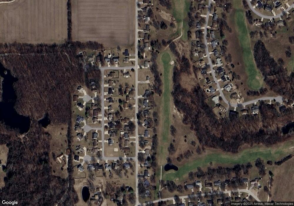
Map
Nearby Homes
- TBD W Maple Grove Rd
- 5725 W 600 N
- TBD 495 N
- 874 N Jackson St
- 58 Quayle Run
- 1513 Avon Place
- 3881 W 558 N
- 63 E Mckeever St
- 6709 N Goshen Rd
- 187 S Snowden St
- 330 W Mckeever St
- 37 Northway Dr
- 0 Walmart Dr
- 3562 W 554 N
- 1920 Hunters Ridge Dr
- 3550 W 558 N
- 5572 N Clear Creek Rd
- 5562 W 100 N
- 1756 Cherry St
- 1106 Elias Murray Dr