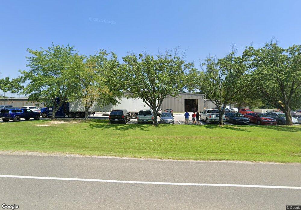
43950 Airport View Dr Unit A Hollywood, MD 20636
Estimated Value: $2,151,725
--
Bed
--
Bath
14,000
Sq Ft
$154/Sq Ft
Est. Value
About This Home
This home is located at 43950 Airport View Dr Unit A, Hollywood, MD 20636 and is currently estimated at $2,151,725, approximately $153 per square foot. 43950 Airport View Dr Unit A is a home located in St. Mary's County with nearby schools including Captain Walter Francis Duke Elementary School, Leonardtown Middle School, and Leonardtown High School.
Ownership History
Date
Name
Owned For
Owner Type
Purchase Details
Closed on
May 29, 2003
Sold by
St Clair Joseph A
Bought by
St Clair Enterprises Llc and A Maryland Ltd Liability Co
Current Estimated Value
Purchase Details
Closed on
Jul 18, 1996
Sold by
County Commissioners Board Of
Bought by
St Clair Joseph A
Purchase Details
Closed on
Aug 30, 1977
Sold by
St Marys Industrial Park
Bought by
County Commissioners Board Of
Home Financials for this Owner
Home Financials are based on the most recent Mortgage that was taken out on this home.
Original Mortgage
$153,000
Interest Rate
8.93%
Create a Home Valuation Report for This Property
The Home Valuation Report is an in-depth analysis detailing your home's value as well as a comparison with similar homes in the area
Home Values in the Area
Average Home Value in this Area
Purchase History
| Date | Buyer | Sale Price | Title Company |
|---|---|---|---|
| St Clair Enterprises Llc | -- | -- | |
| St Clair Joseph A | $550,000 | -- | |
| County Commissioners Board Of | $153,000 | -- |
Source: Public Records
Mortgage History
| Date | Status | Borrower | Loan Amount |
|---|---|---|---|
| Previous Owner | County Commissioners Board Of | $153,000 |
Source: Public Records
Tax History Compared to Growth
Tax History
| Year | Tax Paid | Tax Assessment Tax Assessment Total Assessment is a certain percentage of the fair market value that is determined by local assessors to be the total taxable value of land and additions on the property. | Land | Improvement |
|---|---|---|---|---|
| 2025 | $16,306 | $1,544,000 | $428,100 | $1,115,900 |
| 2024 | $16,306 | $1,518,167 | $0 | $0 |
| 2023 | $16,028 | $1,492,333 | $0 | $0 |
| 2022 | $15,573 | $1,466,500 | $389,200 | $1,077,300 |
| 2021 | $15,568 | $1,466,500 | $389,200 | $1,077,300 |
| 2020 | $15,562 | $1,466,500 | $389,200 | $1,077,300 |
| 2019 | $15,841 | $1,493,800 | $361,700 | $1,132,100 |
| 2018 | $15,835 | $1,493,800 | $361,700 | $1,132,100 |
| 2017 | $15,778 | $1,493,800 | $0 | $0 |
| 2016 | -- | $1,714,900 | $0 | $0 |
| 2015 | -- | $1,712,867 | $0 | $0 |
| 2014 | $17,772 | $1,710,833 | $0 | $0 |
Source: Public Records
Map
Nearby Homes
- 44249 Clarkes Landing Rd
- 23450 Dahlia Cir
- 44405 5 LOTS K & R Way
- 44018 Bellflower Way
- 23706 Three Notch Rd
- 23317 Hyacinth Ln
- 23305 Hyacinth Ln
- 23321 Dianthus Way
- 0 Cottonwood Pkwy
- 23320 Calla Way
- 23218 Windflower Way
- 23201 Foxglove St
- 23230 Willow Creek Way
- 24313 Mervell Dean Rd
- 43915 Honeysuckle Way
- 43643 Evening Primrose Ct
- 24190 Alice Spring Ln
- 44059 Fieldstone Way
- 43761 Winterberry Way
- 23175 Whistlewood Ln
- 43950 Airport View Dr
- 43960 Airport View Dr
- 43935 Commerce Ave Unit 1&2
- 43935 Commerce Ave
- 43955 Commerce Ave
- 43920 Airport View Dr
- 43877 Airport View Dr
- 43883 Airport View Dr
- 43915 Commerce Ave
- 43890 Airport View Dr
- 43871 Airport View Dr
- 43956 Commerce Ave
- 43902 Commerce Ave
- 0 Airport View Rd Unit 1007900092
- 0 Airport View Rd Unit 1007900080
- 0 Airport View Rd Unit 1006917542
- 0 Airport View Rd Unit 1006917532
- 0 Airport View Rd Unit SM7818345
- 0 Airport View Rd Unit SM8607771
- 43904 Commerce Ave