Estimated Value: $87,000 - $142,000
3
Beds
2
Baths
1,564
Sq Ft
$78/Sq Ft
Est. Value
About This Home
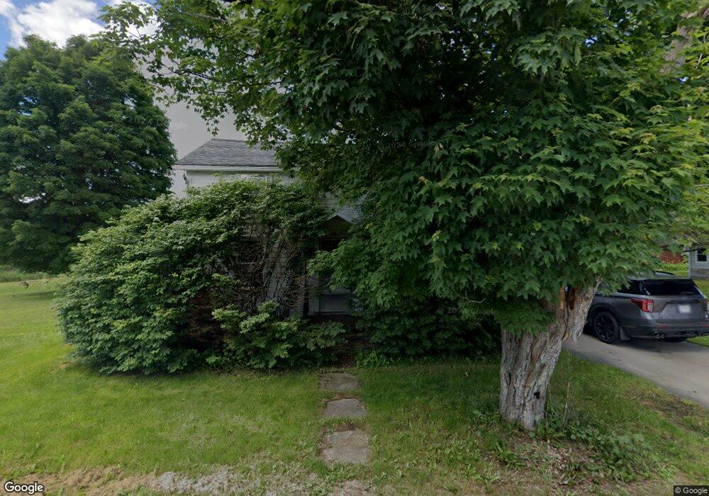
This home is located at 4396 Clark St, Scio, NY 14880 and is currently estimated at $121,539, approximately $77 per square foot. 4396 Clark St is a home with nearby schools including Scio Central School.
Ownership History
Date
Name
Owned For
Owner Type
Purchase Details
Closed on
Jun 18, 2011
Sold by
Windus Thomas
Bought by
Chambers Crystal
Current Estimated Value
Home Financials for this Owner
Home Financials are based on the most recent Mortgage that was taken out on this home.
Original Mortgage
$67,275
Outstanding Balance
$46,378
Interest Rate
4.63%
Mortgage Type
New Conventional
Estimated Equity
$75,161
Purchase Details
Closed on
May 1, 2002
Sold by
Lawson Joseph N and Lawson Sandra
Bought by
Windus Thomas H
Purchase Details
Closed on
Sep 18, 1997
Sold by
Conner Harvey
Bought by
Lawson Joseph N and Lawson Sandra L
Create a Home Valuation Report for This Property
The Home Valuation Report is an in-depth analysis detailing your home's value as well as a comparison with similar homes in the area
Home Values in the Area
Average Home Value in this Area
Purchase History
| Date | Buyer | Sale Price | Title Company |
|---|---|---|---|
| Chambers Crystal | $65,000 | David Shultz | |
| Chambers Crystal M | $65,000 | None Available | |
| Windus Thomas H | $60,000 | David A. Shults | |
| Lawson Joseph N | $58,000 | -- |
Source: Public Records
Mortgage History
| Date | Status | Borrower | Loan Amount |
|---|---|---|---|
| Open | Chambers Crystal M | $67,275 |
Source: Public Records
Tax History Compared to Growth
Tax History
| Year | Tax Paid | Tax Assessment Tax Assessment Total Assessment is a certain percentage of the fair market value that is determined by local assessors to be the total taxable value of land and additions on the property. | Land | Improvement |
|---|---|---|---|---|
| 2024 | $1,588 | $67,500 | $12,100 | $55,400 |
| 2023 | $3,006 | $67,500 | $12,100 | $55,400 |
| 2022 | $2,919 | $67,500 | $12,100 | $55,400 |
| 2021 | $3,053 | $67,500 | $12,100 | $55,400 |
| 2020 | $2,632 | $66,000 | $11,200 | $54,800 |
| 2019 | $2,547 | $66,000 | $11,200 | $54,800 |
| 2018 | $2,547 | $66,000 | $11,200 | $54,800 |
| 2017 | $2,520 | $66,000 | $11,200 | $54,800 |
| 2016 | $2,568 | $66,000 | $11,200 | $54,800 |
| 2015 | -- | $66,000 | $11,200 | $54,800 |
| 2014 | -- | $45,000 | $7,000 | $38,000 |
Source: Public Records
Map
Nearby Homes
- 4010 Main St
- 3963 Main St
- 0 Ruttin Rd Rd Unit R1608664
- 4144 Main St
- 5166 Vandermark Rd
- 0 Riverside Dr
- 3319 Riverside Dr
- 0 Ingraham Rd
- 3197 Riverside Dr
- 0 Stryker Rd Unit B1615449
- 4807 Scio Rd
- 3656 Putt Brook Rd
- 3656 Putt-Brook
- 108 Scott Ave
- 4607 Waugh Brook Rd
- 4473 Bolivar Rd
- 39 Grover St
- 5218 Saunders Hill Rd
- 0 Snowball Hollow Rd Unit 24588212
- 0 Snowball Hollow Rd Unit S1634135
- 4037 State Route 19
- 4017 State Route 19 St
- 4041 State Route 19
- 4397 Clark St
- 4076 New York 19
- 4015 State Route 19
- 4017 Railroad Ave
- 4420 Clark St
- 4028 Church St
- 4057 State Route 19
- 4030 State Route 19
- 4018 State Route 19
- 4014 State Route 19
- 4014 Church St
- 4010 State Route 19
- 4029 Church St
- 4414 W Sciota St
- 4033 Church St
- 4056 State Route 19
- 4063 State Route 19