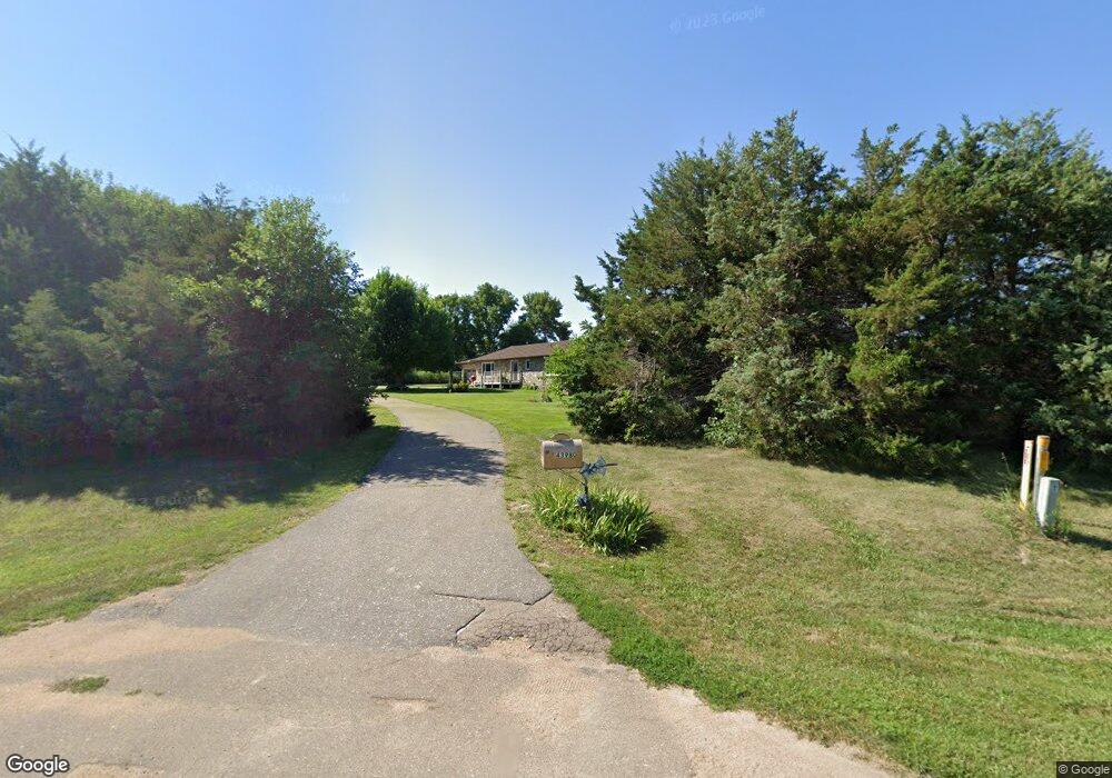
43980 Paulsen Rd Broken Bow, NE 68822
Estimated Value: $254,000 - $378,000
--
Bed
2
Baths
1,560
Sq Ft
$214/Sq Ft
Est. Value
About This Home
This home is located at 43980 Paulsen Rd, Broken Bow, NE 68822 and is currently estimated at $334,540, approximately $214 per square foot. 43980 Paulsen Rd is a home located in Custer County with nearby schools including North Park Elementary School, Broken Bow Junior High School, and Broken Bow High School.
Ownership History
Date
Name
Owned For
Owner Type
Purchase Details
Closed on
Mar 20, 2012
Sold by
Kirkpatrick Bert W
Bought by
Kirkpatrick Bert W and Kirkpatrick Roberta A
Current Estimated Value
Purchase Details
Closed on
Mar 11, 2010
Sold by
Kirkpatrick David H
Bought by
Kirkpatrick Bert
Purchase Details
Closed on
Dec 31, 2007
Sold by
Spence Accomodation Xxi Llc
Bought by
Kirkpatrick David H and Kirkpatrick Bettie C
Purchase Details
Closed on
Oct 16, 2007
Sold by
Sanders Cornelius W and Sanders Wf
Bought by
Spence Accomodation Xxi Llc
Create a Home Valuation Report for This Property
The Home Valuation Report is an in-depth analysis detailing your home's value as well as a comparison with similar homes in the area
Home Values in the Area
Average Home Value in this Area
Purchase History
| Date | Buyer | Sale Price | Title Company |
|---|---|---|---|
| Kirkpatrick Bert W | -- | -- | |
| Kirkpatrick Bert | -- | -- | |
| Kirkpatrick David H | $225,000 | -- | |
| Spence Accomodation Xxi Llc | $225,000 | -- |
Source: Public Records
Tax History Compared to Growth
Tax History
| Year | Tax Paid | Tax Assessment Tax Assessment Total Assessment is a certain percentage of the fair market value that is determined by local assessors to be the total taxable value of land and additions on the property. | Land | Improvement |
|---|---|---|---|---|
| 2025 | $2,584 | $281,537 | $40,000 | $241,537 |
| 2024 | $2,584 | $271,603 | $40,000 | $231,603 |
| 2023 | $2,668 | $245,050 | $40,000 | $205,050 |
| 2022 | $3,074 | $245,050 | $40,000 | $205,050 |
| 2021 | $2,895 | $245,050 | $40,000 | $205,050 |
| 2020 | $2,744 | $235,245 | $40,000 | $195,245 |
| 2019 | $2,734 | $235,245 | $40,000 | $195,245 |
| 2017 | $2,575 | $219,743 | $40,000 | $179,743 |
| 2016 | $2,859 | $217,993 | $38,250 | $179,743 |
| 2015 | $2,735 | $187,644 | $33,250 | $154,394 |
| 2014 | $2,735 | $187,644 | $33,250 | $154,394 |
Source: Public Records
Map
Nearby Homes
- 2056 N 9th Ave
- 43982 Paulsen Rd
- 79989 Airport Rd
- 1947 N 9th Ave
- 79981 Airport Rd
- 1750 N 9th Ave
- 1652 N 9th Ave
- 79971 Airport Rd
- 1650 N 9th Ave
- 1528 N 9th Ave
- 79965 Airport Rd
- 1462 N 9th Ave
- 43936 Paulsen Rd
- 79957 Airport Rd
- 1304 N 9th Ave
- 79960 Airport Rd
- 1770 N 17th Ave
- 1302 N 9th Ave
- 79962 Airport Rd
- 79959 Airport Rd