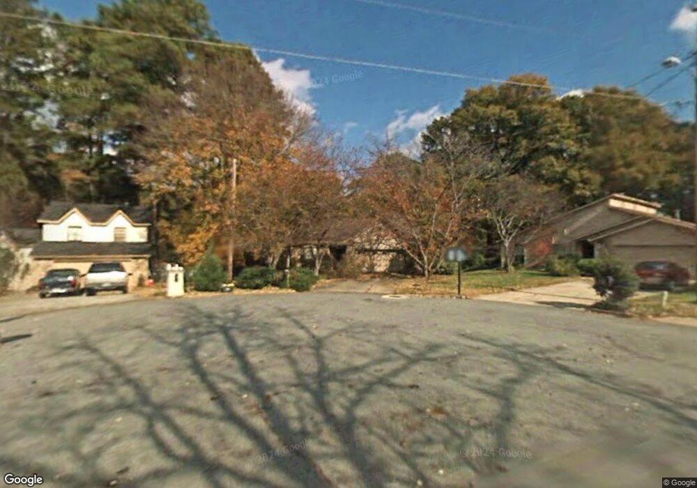
4399 Stonebridge Ct Unit 6 Duluth, GA 30096
Estimated Value: $350,000 - $368,250
3
Beds
2
Baths
1,636
Sq Ft
$220/Sq Ft
Est. Value
About This Home
This home is located at 4399 Stonebridge Ct Unit 6, Duluth, GA 30096 and is currently estimated at $360,563, approximately $220 per square foot. 4399 Stonebridge Ct Unit 6 is a home located in Gwinnett County with nearby schools including Beaver Ridge Elementary School, Summerour Middle School, and Norcross High School.
Ownership History
Date
Name
Owned For
Owner Type
Purchase Details
Closed on
Jul 23, 1999
Sold by
Jasper Edward K
Bought by
White Fred G
Current Estimated Value
Home Financials for this Owner
Home Financials are based on the most recent Mortgage that was taken out on this home.
Original Mortgage
$112,500
Outstanding Balance
$31,165
Interest Rate
7.66%
Mortgage Type
New Conventional
Estimated Equity
$329,398
Purchase Details
Closed on
Dec 19, 1997
Sold by
Bartlett Dianne F
Bought by
Jasper Edward K
Home Financials for this Owner
Home Financials are based on the most recent Mortgage that was taken out on this home.
Original Mortgage
$118,750
Interest Rate
7.23%
Mortgage Type
New Conventional
Create a Home Valuation Report for This Property
The Home Valuation Report is an in-depth analysis detailing your home's value as well as a comparison with similar homes in the area
Home Values in the Area
Average Home Value in this Area
Purchase History
| Date | Buyer | Sale Price | Title Company |
|---|---|---|---|
| White Fred G | $125,000 | -- | |
| Jasper Edward K | $125,000 | -- |
Source: Public Records
Mortgage History
| Date | Status | Borrower | Loan Amount |
|---|---|---|---|
| Open | White Fred G | $112,500 | |
| Previous Owner | Jasper Edward K | $118,750 |
Source: Public Records
Tax History Compared to Growth
Tax History
| Year | Tax Paid | Tax Assessment Tax Assessment Total Assessment is a certain percentage of the fair market value that is determined by local assessors to be the total taxable value of land and additions on the property. | Land | Improvement |
|---|---|---|---|---|
| 2025 | $3,793 | $149,760 | $31,920 | $117,840 |
| 2024 | $3,775 | $142,680 | $27,200 | $115,480 |
| 2023 | $3,775 | $142,680 | $27,200 | $115,480 |
| 2022 | $3,229 | $118,560 | $21,200 | $97,360 |
| 2021 | $2,202 | $67,520 | $12,400 | $55,120 |
| 2020 | $2,216 | $67,520 | $12,400 | $55,120 |
| 2019 | $2,163 | $67,520 | $12,400 | $55,120 |
| 2018 | $2,161 | $67,520 | $12,400 | $55,120 |
| 2016 | $1,888 | $53,880 | $10,400 | $43,480 |
| 2015 | $1,666 | $43,840 | $8,000 | $35,840 |
| 2014 | -- | $43,840 | $8,000 | $35,840 |
Source: Public Records
Map
Nearby Homes
- 2055 Lake Ford Cir
- 2082 Montgomery Trail
- 4781 Valley Ridge Dr
- 4114 Berkeley Mill Close
- 4300 Wildridge Dr
- 2250 Berkeley Creek Ct Unit 2
- 4787 Greenway Rd
- 2275 Oak Glenn Cir
- 4091 Beaver Oaks Dr
- 4569 Iroquois Trail
- 4880 Racquet Ct
- 3991 Centennial Trail
- 2152 Graywell Ln
- 2385 Muirfield Way
- 2318 Ingram Rd
- 4786 Masters Ct Unit 4
- 2347 Fawn Hollow Ct Unit 1
- 2290 Honeycomb Ct
- 2377 Fawn Hollow Ct
- 4409 Stonebridge Ct Unit 6
- 4395 Stonebridge Ct
- 0 Stonebridge Ct Unit 7579326
- 0 Stonebridge Ct Unit 3246266
- 0 Stonebridge Ct Unit 3176345
- 4419 Stonebridge Ct
- 4398 Stonebridge Ct
- 2130 Hopkins Creek Dr
- 4408 Stonebridge Ct
- 2140 Hopkins Creek Dr
- 4418 Stonebridge Ct Unit 6
- 2150 Hopkins Creek Dr Unit 2
- 2120 Hopkins Creek Dr Unit 1
- 4429 Stonebridge Ct
- 4444 Creek Ford Dr Unit 6
- 2127 Hopkins Place Ct Unit 1
- 4426 Creek Ford Dr
- 2160 Hopkins Creek Dr Unit 2
- 2117 Hopkins Place Ct
- 2117 Hopkins Place Ct