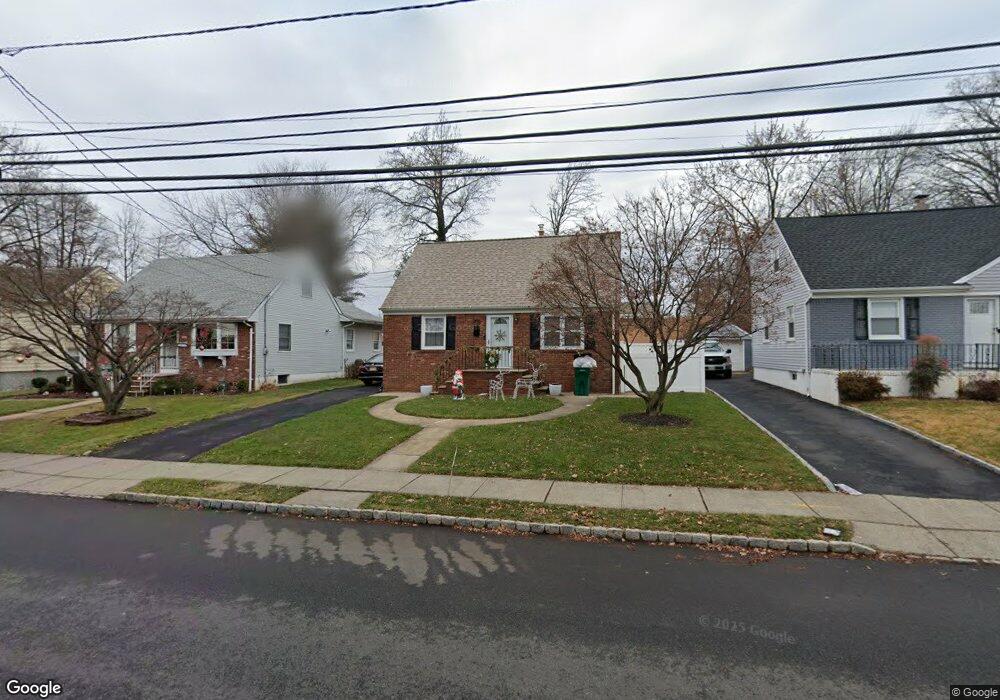
43A Myrtle St Cranford, NJ 07016
Estimated Value: $520,000 - $666,000
--
Bed
--
Bath
1,488
Sq Ft
$400/Sq Ft
Est. Value
About This Home
This home is located at 43A Myrtle St, Cranford, NJ 07016 and is currently estimated at $595,641, approximately $400 per square foot. 43A Myrtle St is a home located in Union County with nearby schools including Cranford Sr High School, St Michael School, and Roselle Catholic High School.
Ownership History
Date
Name
Owned For
Owner Type
Purchase Details
Closed on
Jan 25, 2008
Sold by
Millea Cheryl
Bought by
Warren Keith T and Warren Amy L
Current Estimated Value
Home Financials for this Owner
Home Financials are based on the most recent Mortgage that was taken out on this home.
Original Mortgage
$318,250
Outstanding Balance
$201,582
Interest Rate
6.14%
Mortgage Type
Unknown
Estimated Equity
$394,059
Create a Home Valuation Report for This Property
The Home Valuation Report is an in-depth analysis detailing your home's value as well as a comparison with similar homes in the area
Home Values in the Area
Average Home Value in this Area
Purchase History
| Date | Buyer | Sale Price | Title Company |
|---|---|---|---|
| Warren Keith T | $335,000 | Vested Title Inc |
Source: Public Records
Mortgage History
| Date | Status | Borrower | Loan Amount |
|---|---|---|---|
| Open | Warren Keith T | $318,250 |
Source: Public Records
Tax History Compared to Growth
Tax History
| Year | Tax Paid | Tax Assessment Tax Assessment Total Assessment is a certain percentage of the fair market value that is determined by local assessors to be the total taxable value of land and additions on the property. | Land | Improvement |
|---|---|---|---|---|
| 2025 | $8,514 | $125,600 | $58,200 | $67,400 |
| 2024 | $8,374 | $125,600 | $58,200 | $67,400 |
| 2023 | $8,374 | $125,600 | $58,200 | $67,400 |
| 2022 | $8,305 | $125,600 | $58,200 | $67,400 |
| 2021 | $8,268 | $125,600 | $58,200 | $67,400 |
| 2020 | $7,586 | $115,600 | $58,200 | $57,400 |
| 2019 | $7,537 | $115,600 | $58,200 | $57,400 |
| 2018 | $7,401 | $115,600 | $58,200 | $57,400 |
| 2017 | $7,146 | $115,600 | $58,200 | $57,400 |
| 2016 | $6,886 | $115,600 | $58,200 | $57,400 |
| 2015 | $6,706 | $115,600 | $58,200 | $57,400 |
| 2014 | $6,568 | $115,600 | $58,200 | $57,400 |
Source: Public Records
Map
Nearby Homes
- 98 Winans Ave
- 219 Centennial Ave Unit B
- 129 Thomas St
- 166 N Lehigh Ave
- 27 Cranford Terrace
- 127 Bryant Ave
- 383 Lincoln Ave E
- 37 Broad St
- 107 Myrtle St
- 1 Broad St
- 11 Mendell Ave
- 57 Berlant Ave
- 826 Amsterdam Ave
- 211 High St
- 569 Berlant Ave
- 323 Dermody St
- 247 Walnut Ave
- 53 Pallant Ave
- 2 Pine St
- 24 Oneida Place